Topics > Civil Parishes in Cumbria > Westward Civil Parish
Westward Civil Parish
Area: 53.5 km²
Population:
816 (2021 Census)
838 (2011 Census)
814 (2001 Census)
Co-Curate Page
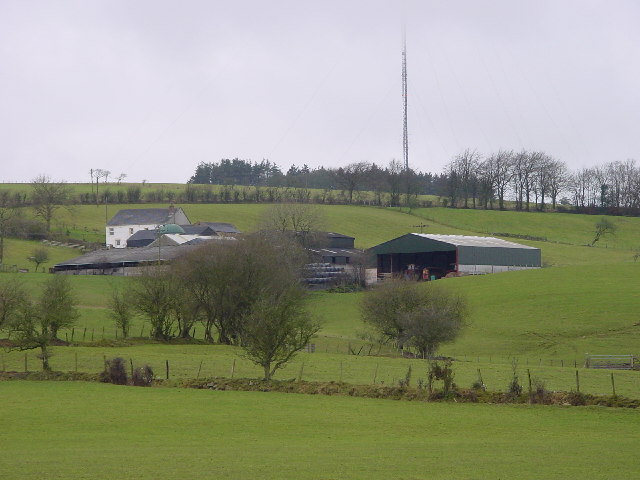
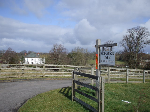
Brackenthwaite (Wigton)
- Overview About Brackenthwaite Map Brackenthwaite is a hamlet in the Allerdale district of Cumbria, located about 3 miles south-east of Wigton. Brackenthwaite is part of Westard Civil Parish. Not to …
Co-Curate Page
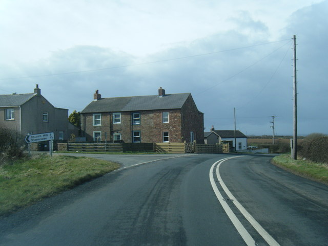
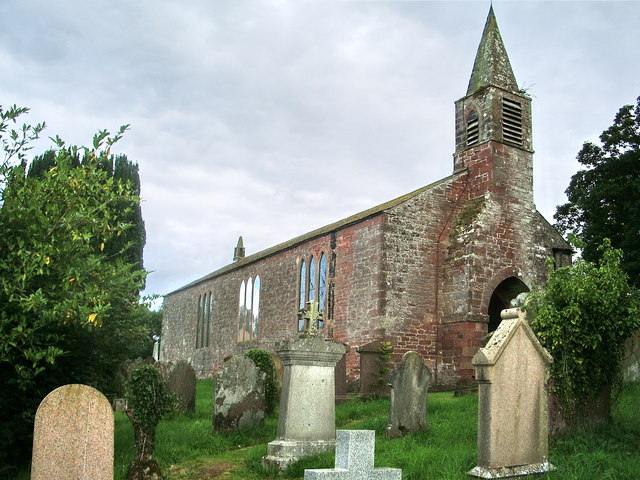
Rosley, Cumbria
- Overview Map Street View Rosley is a distributed village and ecclesiastical (church) parish in the Allerdale district of Cumbria. The bulk of the community are located by the B5305 road, …
Co-Curate Page
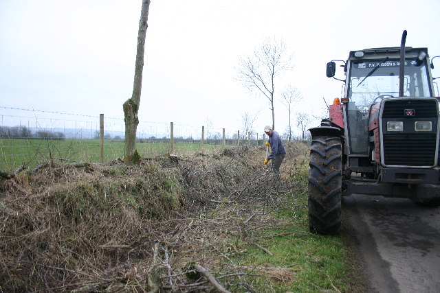
Brocklebank
- Overview Map Street View Brocklebank is a hamlet in the Allerdale district of Cumbria, located about 5 miles south-east of Wigton and 2 miles north-west of Caldbeck. The settlement includes …
Co-Curate Page
West Woodside
- Overview Map Street View West Woodside is a distributed hamlet in Westward Civil Parish in Cumbria, located off the A595 Roman Road, about 7 miles south-west of the centre of …

Co-Curate Page
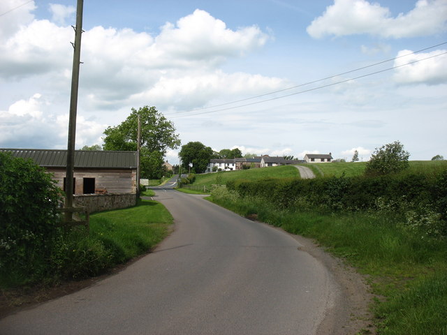
West Curthwaite
- Overview Map Street View West Curthwaite is a village in Cumbria, located about 6 miles south-west of Carlisle, and ½mile south of Thursby. West Curthwaite is part of Westward Civil …

Co-Curate Page
Brackenthwaite (Wigton)
- Overview About Brackenthwaite Map Brackenthwaite is a hamlet in the Allerdale district of Cumbria, located about 3 miles south-east of Wigton. Brackenthwaite is part of Westard Civil Parish. Not to …
Co-Curate Page
Rosley, Cumbria
- Overview Map Street View Rosley is a distributed village and ecclesiastical (church) parish in the Allerdale district of Cumbria. The bulk of the community are located by the B5305 road, …
Co-Curate Page
Brocklebank
- Overview Map Street View Brocklebank is a hamlet in the Allerdale district of Cumbria, located about 5 miles south-east of Wigton and 2 miles north-west of Caldbeck. The settlement includes …
Co-Curate Page
West Woodside
- Overview Map Street View West Woodside is a distributed hamlet in Westward Civil Parish in Cumbria, located off the A595 Roman Road, about 7 miles south-west of the centre of …


 (Hexham)")


