Topics > Tyne and Wear > North Tyneside > Longbenton > Longbenton Parish, 1848 > Weetsleet Township (Longbenton), 1848
Weetsleet Township (Longbenton), 1848
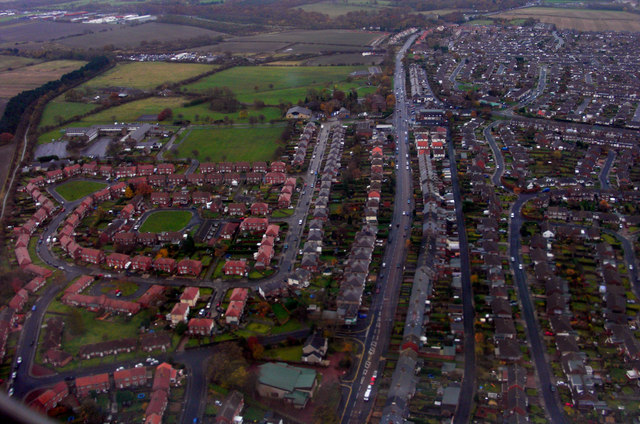
WEETSLEET, or Weetsted, a township, in the parish of Long Benton, union of Tynemouth, E. division of Castle ward, S. division of Northumberland, 6 miles (N. by E.) from Newcastle; containing 1,003 inhabitants. This township, which is the most northern in the parish, comprises 2,229a. 2r. 7p., and is intersected by the road from Newcastle to Morpeth. A large colliery was opened at Seaton-Burn, within its limits, by Lord Ravensworth and partners, in 1841-2; and at Wideopen are some extensive quarries of stone. The tithes of corn and hay have been commuted for £365. 11., and those payable to the vicar for £25.— See Seaton-Burn.
Extract from: A Topographical Dictionary of England comprising the several counties, cities, boroughs, corporate and market towns, parishes, and townships..... 7th Edition, by Samuel Lewis, London, 1848.

from https://openlibrary.org/books…
A topographical dictionary of England, Samuel Lewis, 7th Ed., 1848
- A topographical dictionary of England
comprising the several counties, cities, boroughs, corporate and market towns, parishes, and townships, and the islands of Guernsey, Jersey, and Man, with historical and statistical …
Added by
Simon Cotterill
Co-Curate Page
Seaton Burn Colliery (1844 - 1965)
- Seaton Burn Colliery opened by the Grand Allies c.1844. By 1852 it was owned by John Bowes & Co. and from 1938 by Hartley Main Collieries Ltd. At its peak …
Co-Curate Page
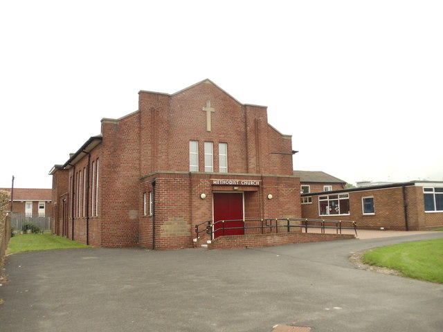
Seaton Burn
- Overview About Seaton Burn Map Street View SEATON-BURN, a village, in the township of Weetsleet, parish of Long Benton, union of Tynemouth, E. division of Castle ward, S. division of …

Co-Curate Page
Wideopen Colliery
- The sinking of Wideopen Colliery began in 1825 and production stated in 1827 after reaching the High Main coal seam at a depth of about 146 metres. Coal from Wideopen was transported …
Co-Curate Page
Wideopen
- Overview About Wideopen Map Street View North Tyneside Wideopen, also occasionally spelled Wide Open, is a village located in the administrative borough of North Tyneside, north of Gosforth and six …

from https://openlibrary.org/books…
A topographical dictionary of England, Samuel Lewis, 7th Ed., 1848
- A topographical dictionary of England
comprising the several counties, cities, boroughs, corporate and market towns, parishes, and townships, and the islands of Guernsey, Jersey, and Man, with historical and statistical …
Added by
Simon Cotterill
Co-Curate Page
Seaton Burn Colliery (1844 - 1965)
- Seaton Burn Colliery opened by the Grand Allies c.1844. By 1852 it was owned by John Bowes & Co. and from 1938 by Hartley Main Collieries Ltd. At its peak …
Co-Curate Page
Seaton Burn
- Overview About Seaton Burn Map Street View SEATON-BURN, a village, in the township of Weetsleet, parish of Long Benton, union of Tynemouth, E. division of Castle ward, S. division of …
Co-Curate Page
Wideopen Colliery
- The sinking of Wideopen Colliery began in 1825 and production stated in 1827 after reaching the High Main coal seam at a depth of about 146 metres. Coal from Wideopen was transported …