Topics > Carlisle > Streets of Carlisle > Warwick Road
Warwick Road
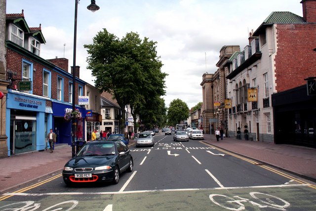
Warwick Road is a major road in Carlisle. The road starts in the heart of the city centre with it's junction with Lowther Street; Warwick Road heads east and much of it forms part of the A69 route, continuing through Botcherby, heading towards Warwick-on-Eden and Warwick Bridge and beyond.
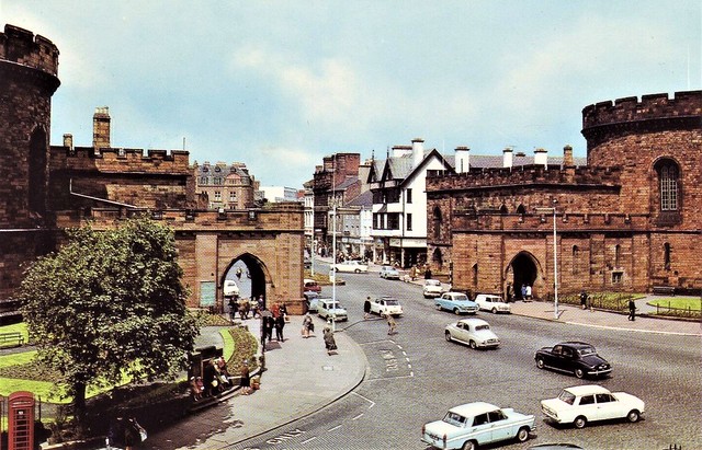
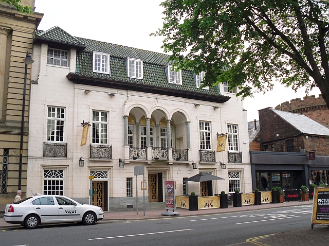
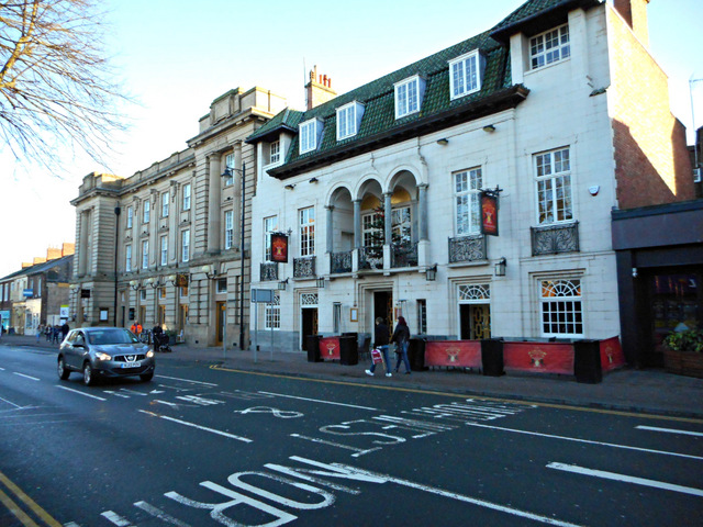
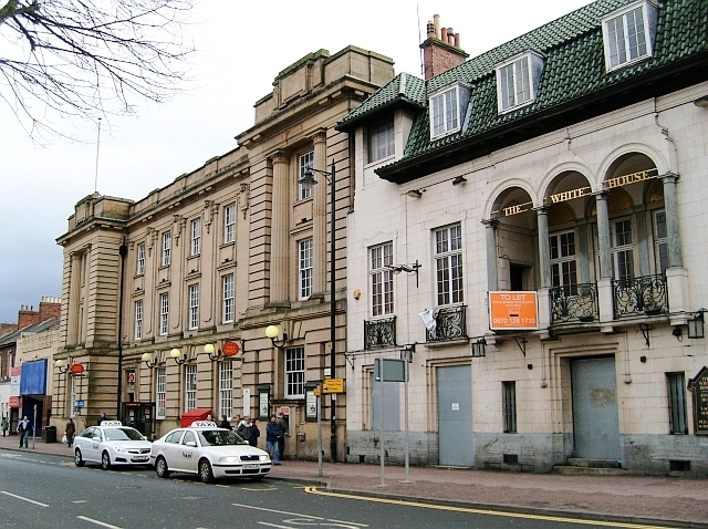
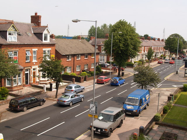
The head of Warwick Road in Carlisle city centre.
from Geograph (geograph)
Warwick Road, Carlisle : Buildings with an uncertain future
Pinned by Edmund Anon
Co-Curate Page
Botcherby
- Overview Map Street View Botcherby is an area of Carlisle, located to the east of the River Petteril, about a mile east of the city centre. BOTCHERBY, a township, in …