Topics > Carlisle > Streets of Carlisle > Lowther Street
Lowther Street
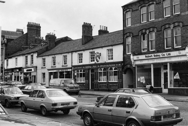
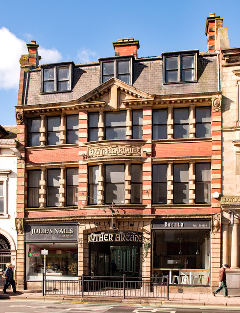
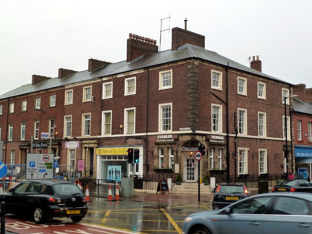
Lowther Street is a major road in the centre of Carlisle. It's southern end is at the junction of The Crescent and Warwick Road, near The Citadel. Lowther Street is about 500m long and runs north up to Drover's Lane and The Lanes Shopping Centre. There are several notable buildings along the street, including Lowther Arcade, The Lowther Street Congregational Church, The Howard Arms, and The Apple Tree. The Lloyds Bank building was formerly the Gretna Tavern, which had the honour, in 1916, of becoming the first State Managed public house in Carlisle.
from Geograph (geograph)
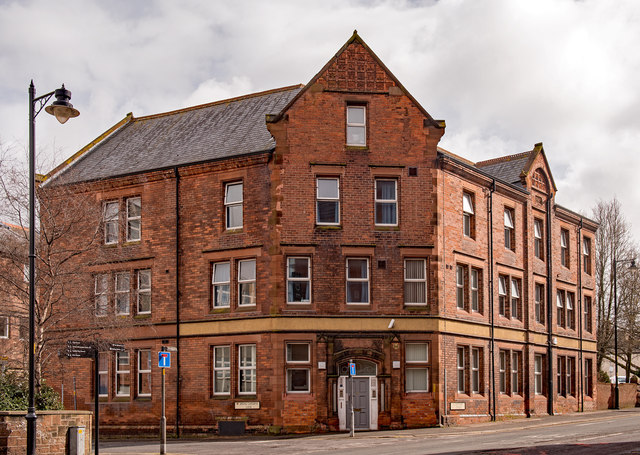
Former "Bowling Green Hotel", Lowther Street - March 2018
Pinned by Simon Cotterill
from Flickr (flickr)
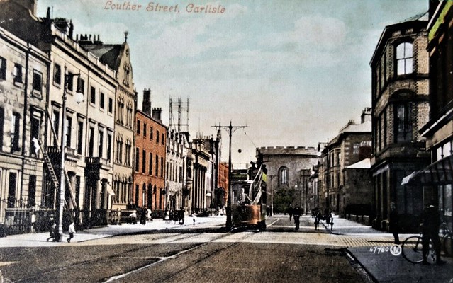
Pre 1914 Postcard Louther Street Carlisle Cumbria Posted 1907
Pinned by Peter Smith

from Geograph (geograph)
Former "Bowling Green Hotel", Lowther Street - March 2018
Pinned by Simon Cotterill
from Flickr (flickr)
Pre 1914 Postcard Louther Street Carlisle Cumbria Posted 1907
Pinned by Peter Smith
Carlisle

Streets of Carlisle
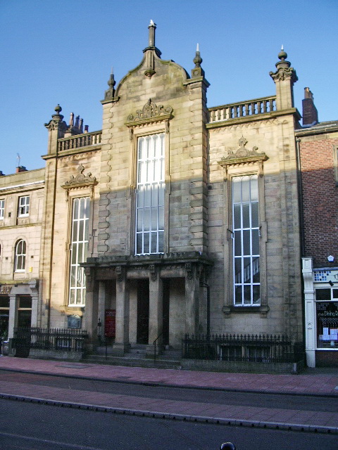
Congregational Church, Carlisle
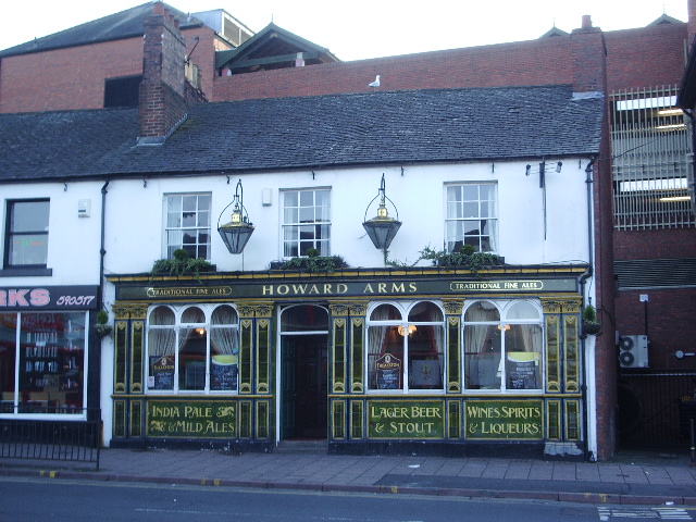
Howard Arms, Lowther Street, Carlisle
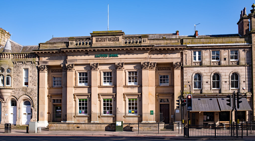
Lloyds Bank, Lowther Street, Carlisle
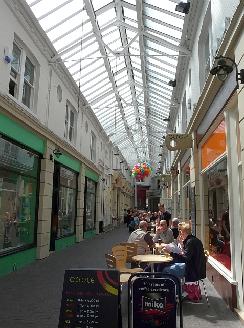
Lowther Arcade, Carlisle
Nos. 15 & 17 Lowther Street, Carlisle
Nos. 30-40 Lowther Street & No. 1 Lonsdale Street, Carlisle
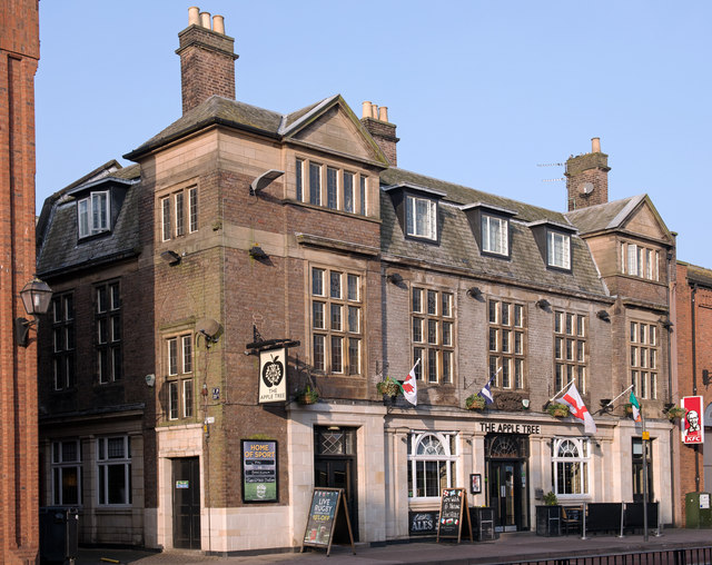
The Apple Tree, Lowther Street, Carlisle


