Topics > Geography > Rivers > Streams, Becks and Burns > Waren Burn
Waren Burn
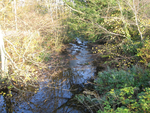
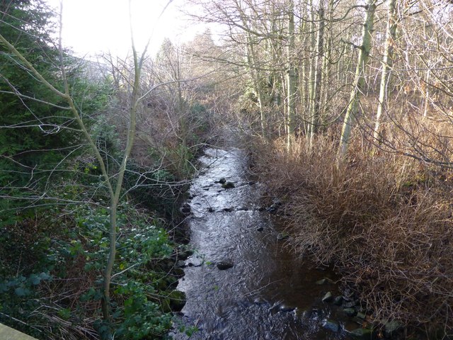
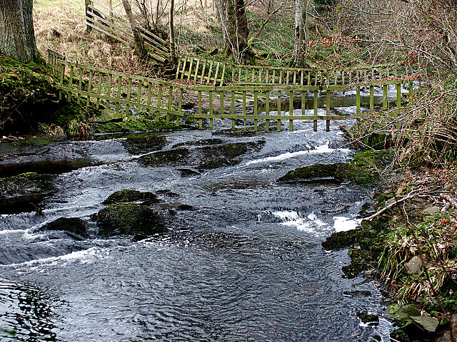
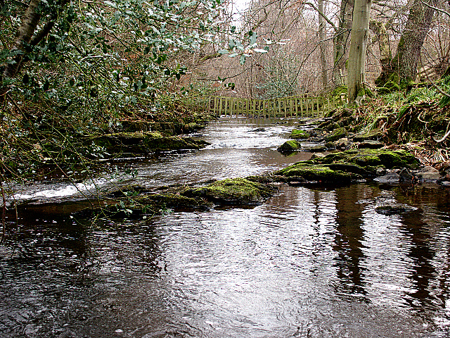
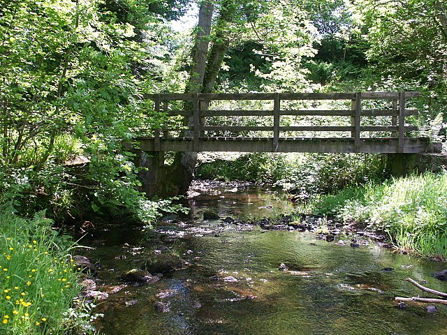
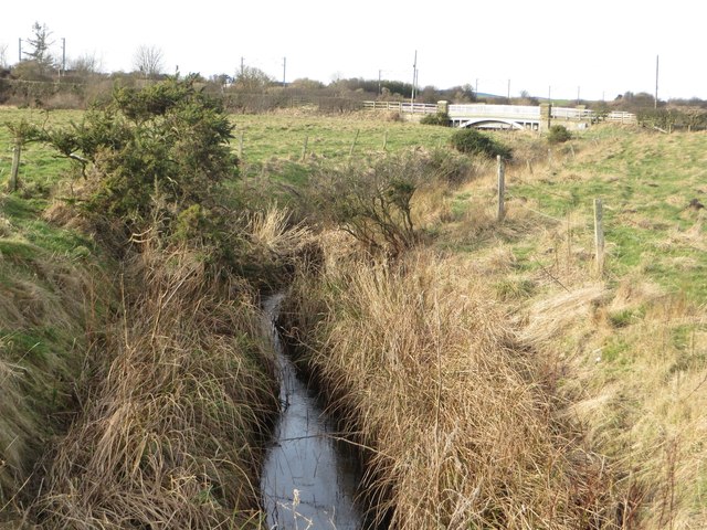
Waren Burn is a small river in Northumberland which discharges into the North Sea at Budle Bay just North of Bambrough. Waren Burn is about 17km long and has a catchment area of 35.8 km2.[1] Along the Waren Burn are the small settlements of Twizell, Lucker, Glororum, Bradford, Spindlestone, Warenford and Waren Mill.
Co-Curate Page
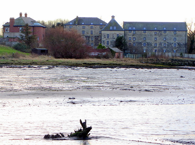
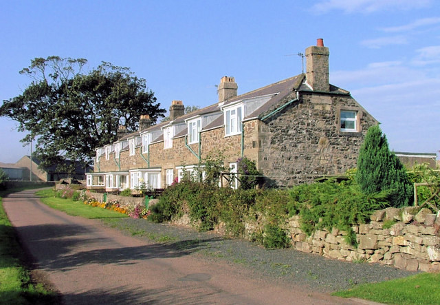
Waren Mill
- Overview Map Street View Waren Mill is a village on the edge of Budle Bay on the coast of Northumberland. It is located 2 miles west of Bamburgh and just …
Co-Curate Page
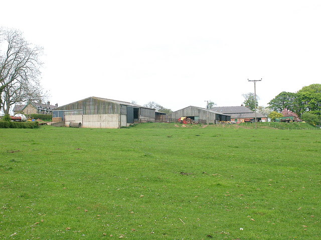
Bradford (nr Bambrugh)
- Overview Map Street View Bradford is a hamlet in Northumberland located by Waren Burn. It is two and a half miles south-west of Bamburgh and a similar distance south-east of …
Co-Curate Page
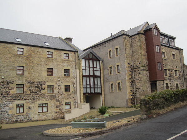
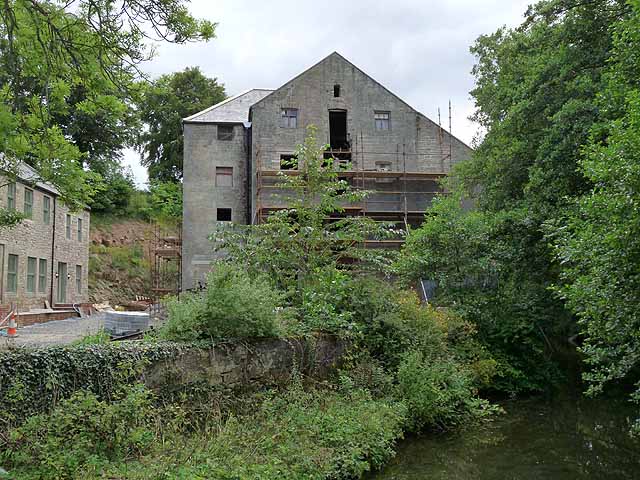
The Mill
- Overview Map Street View The corn mill and miller's house in Waren Mill is located by Waren Burn on the edge of Budle Bay. A water-powered corn mill is documented at Waren …
Co-Curate Page
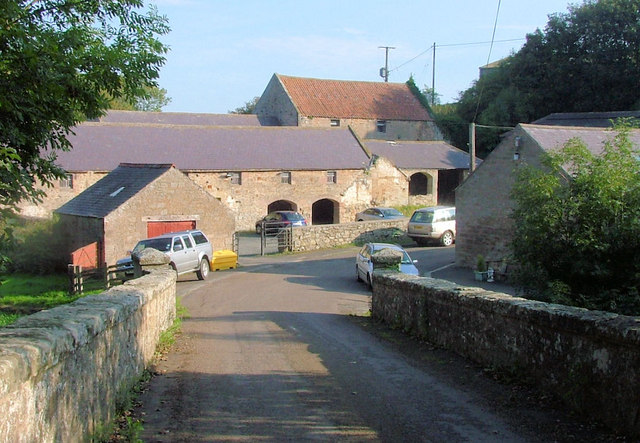
Warenford Bridge
- Overview Map Street View The stone bridge over Waren Burn at Warenford in Northumberland was built in the late 18th or early 19th century and is Grade II listed.[1] The …

Co-Curate Page
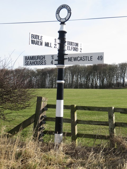
Warenford
- Overview Map Street View Warenford is a village by the Waren Burn in Northumberland, just over 3 miles south of Belford and 10 miles north-west of Alnwick. The village of Warenford …
Co-Curate Page
Twizell (Adderstone with Lucker)
- Twizell, Twizell Mill and Twizell House are small settlements in Northumberland, in the parish of Adderstone with Lucker. Not to be confused with Twizell in the parish of Duddo in …
Co-Curate Page
Lucker
- Overview Map Street View Lucker is a village in Northumberland, located about 3 miles south-west of Bambrugh and 3 miles south-east of Belford. The village is part of the Civil …
Co-Curate Page
Spindlestone
- SPINDLESTONE, a township, in the parish of Bambrough, union of Belford, N. division of Bambrough ward and of Northumberland, 3¼ miles (E. by S.) from Belford; containing 151 inhabitants. It …
Co-Curate Page
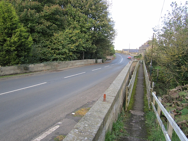
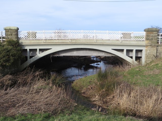
Road Bridge, near Station Cottages
- Overview Map Street View The road bridge over Waren Burn, near Station Cottages, north-west of Lucker, was built in 1906. Built by by Ferro-Concrete Construction, it carries the B1341 road …

Co-Curate Page
Waren Mill
- Overview Map Street View Waren Mill is a village on the edge of Budle Bay on the coast of Northumberland. It is located 2 miles west of Bamburgh and just …
Co-Curate Page
Bradford (nr Bambrugh)
- Overview Map Street View Bradford is a hamlet in Northumberland located by Waren Burn. It is two and a half miles south-west of Bamburgh and a similar distance south-east of …
Co-Curate Page
The Mill
- Overview Map Street View The corn mill and miller's house in Waren Mill is located by Waren Burn on the edge of Budle Bay. A water-powered corn mill is documented at Waren …
Co-Curate Page
Warenford Bridge
- Overview Map Street View The stone bridge over Waren Burn at Warenford in Northumberland was built in the late 18th or early 19th century and is Grade II listed.[1] The …
Co-Curate Page
Warenford
- Overview Map Street View Warenford is a village by the Waren Burn in Northumberland, just over 3 miles south of Belford and 10 miles north-west of Alnwick. The village of Warenford …
Co-Curate Page
Twizell (Adderstone with Lucker)
- Twizell, Twizell Mill and Twizell House are small settlements in Northumberland, in the parish of Adderstone with Lucker. Not to be confused with Twizell in the parish of Duddo in …
Co-Curate Page
Lucker
- Overview Map Street View Lucker is a village in Northumberland, located about 3 miles south-west of Bambrugh and 3 miles south-east of Belford. The village is part of the Civil …
Co-Curate Page
Spindlestone
- SPINDLESTONE, a township, in the parish of Bambrough, union of Belford, N. division of Bambrough ward and of Northumberland, 3¼ miles (E. by S.) from Belford; containing 151 inhabitants. It …
Co-Curate Page
Road Bridge, near Station Cottages
- Overview Map Street View The road bridge over Waren Burn, near Station Cottages, north-west of Lucker, was built in 1906. Built by by Ferro-Concrete Construction, it carries the B1341 road …


Grid ref:
NU1296628438


