Topics > County Durham > Urpeth
Urpeth
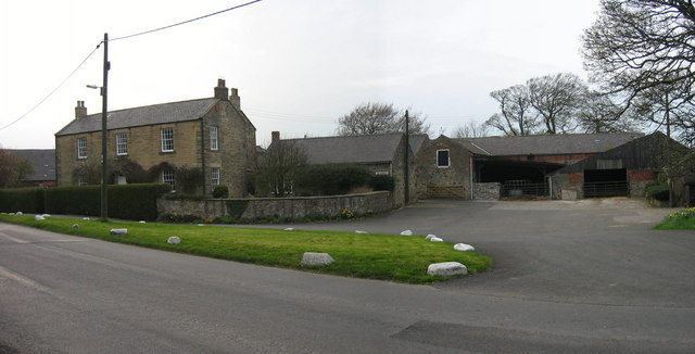
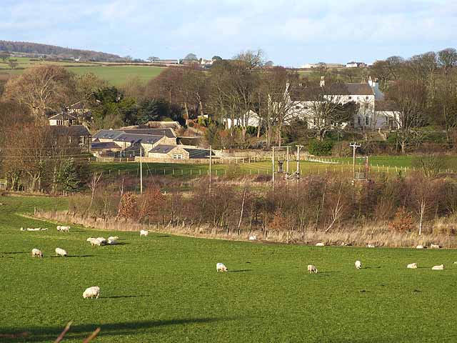
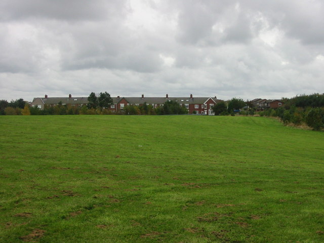
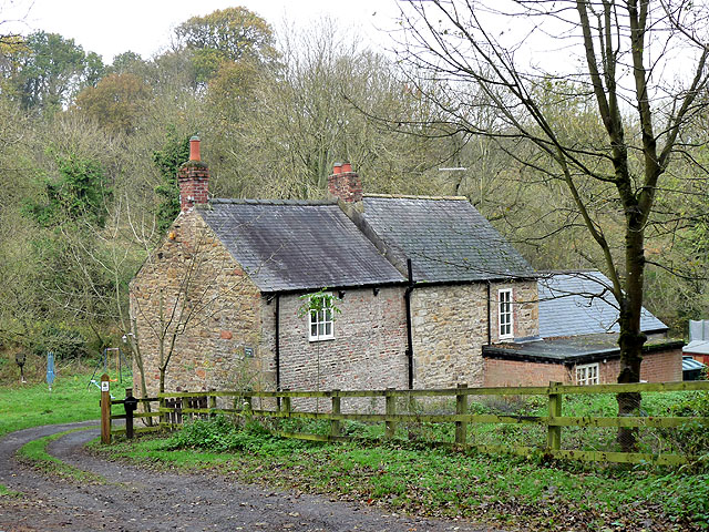
Urpeth is a village and civil parish in County Durham. Village: the village of Urpeth is located just east of Ouston and about 8 miles north of Durham City. The village grew during the 19th century in association with mining, particularly at Urpeth Colliery, which operated until 1957. In the past Urpeth was a township of Chester-le-Street and had a population of 524 recorded in 1801.[1] By 1835, the population of the township was recorded as 716. In 1837 Edward Fenwick Boyd moved to Urpeth and became resident viewer of Urpeth Colliery. Boyd was a founding member of the North of England Institute of Mining and Mechanical Engineers. Parish of Urpeth: The parish includes the villages of Urpeth, Low Upeth, High Urpeth, Beamish, West Pelton, and High Hold. In High Upeth is Urpeth Hall, which is a listed building, and once the centre of an extensive estate.
Urpeth (Urpeth Grange) is a village in County Durham, England. It is situated a short distance from Ouston and Beamish, near the border with Tyne and Wear. The parish population taken at the 2011 census was 3,630.
Urpeth started its life as a coal mining area with multiple seams of coal being mined from various locations around the current housing estate. Urpeth Colliery was owned by the Birtley Iron Company and during its heyday employed 300 men and boys. The on site coke ovens produced up to 470 tons of coke each day.
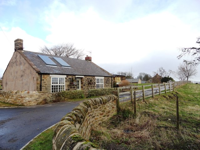
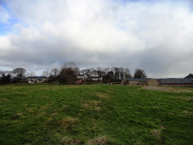
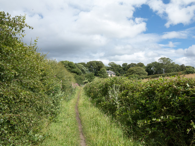
Geographically Urpeth is situated to the west of Ouston and is surrounded by fields and rolling hills. Standing in Urpeth's only play park, one cannot see Ouston as there is a hill which blocks the view.
This hill was formed from the coal spoils from both the Ouston and Urpeth collieries.
The hill provides local children with an area for sledging during winter and dog walkers throughout the year.
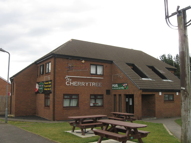
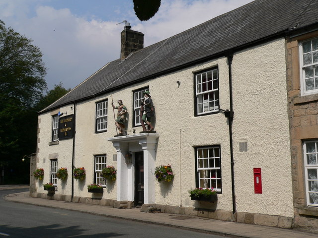
There are currently two main businesses run within Urpeth which is the "Spar" Newsagents and The Cherry Tree pub.
Urpeth was once host to a controversial landfill site to the south west of its main location. The site was used for the disposal of low level radioactive waste along with three other sites at Kibblesworth, Ryton and Cowpen Bewley. However, since the late 1990s the site was closed and a methane burner sits on the site.
from IllustratedChronicles (flickr)
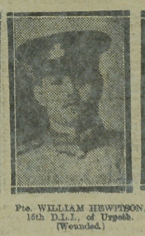
William Hewitson - 15th DLI - Urpeth (Wounded)
Pinned by Simon Cotterill
Co-Curate Page
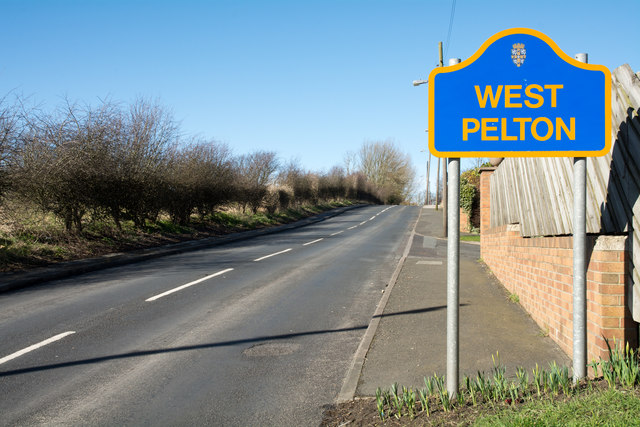
West Pelton
- Overview Map Street View West Pelton is a village in County Durham, located about 6 miles north of Durham City and 1 mile west of Pelton. The village originally developed …
Co-Curate Page
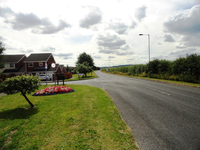
Ouston
- Overview About Ouston Map Street View Ouston is a village in County Durham, located just over a mile north of Chester-le-Street. There was a small settlement here in medieval times.[1] …
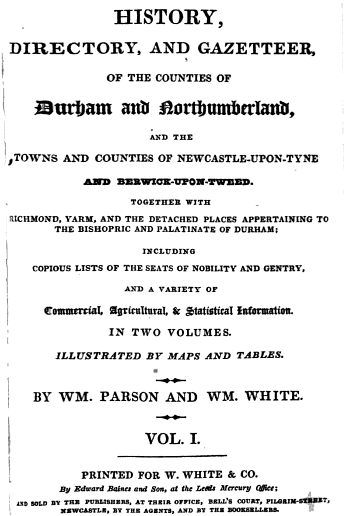
from http://books.google.co.uk/boo…
History, directory, and gazetteer of the counties of Durham and Northumberland, by W. Parson and W. White, 1827
- Available as a free eBook digitised by Google
Added by
Simon Cotterill
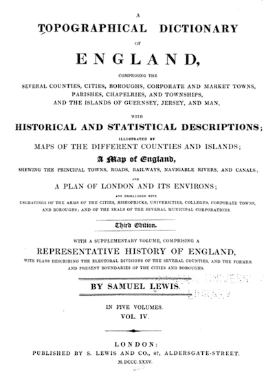
from https://books.google.co.uk/bo…
A Topographical Dictionary of England, Volume 4, Samuel Lewis, 1835
- A Topographical Dictionary OF ENGLAND COMPRISING THE SEVERAL COUNTIES CITIES BOROUGHS CORPORATE AND MARKET TOWNS PARISHES CHAPELRIES AND TOWNSHIPS AND THE ISLANDS OF GUERNSEY JERSEY AND MAN HISTORICAL AND STATISTICAL …
Added by
Simon Cotterill

from IllustratedChronicles (flickr)
William Hewitson - 15th DLI - Urpeth (Wounded)
Pinned by Simon Cotterill
Co-Curate Page
West Pelton
- Overview Map Street View West Pelton is a village in County Durham, located about 6 miles north of Durham City and 1 mile west of Pelton. The village originally developed …
Co-Curate Page
Ouston
- Overview About Ouston Map Street View Ouston is a village in County Durham, located just over a mile north of Chester-le-Street. There was a small settlement here in medieval times.[1] …
from http://books.google.co.uk/boo…
History, directory, and gazetteer of the counties of Durham and Northumberland, by W. Parson and W. White, 1827
- Available as a free eBook digitised by Google
Added by
Simon Cotterill
from https://books.google.co.uk/bo…
A Topographical Dictionary of England, Volume 4, Samuel Lewis, 1835
- A Topographical Dictionary OF ENGLAND COMPRISING THE SEVERAL COUNTIES CITIES BOROUGHS CORPORATE AND MARKET TOWNS PARISHES CHAPELRIES AND TOWNSHIPS AND THE ISLANDS OF GUERNSEY JERSEY AND MAN HISTORICAL AND STATISTICAL …
Added by
Simon Cotterill


