Topics > County Durham > Pelton > Pelton district, 1848
Pelton district, 1848
PELTON, an ecclesiastical district, in the parish and union of Chester-le-Street, Middle division of Chester ward, N. division of the county of Durham, 2 miles (W. by N.) from Chester-le-Street; containing 2,500 inhabitants. The township of Pelton is intersected by the Pontop and South Shields railway, and comprises 998 acres of land, of which two-thirds are pasture, and the remainder arable: the soil is principally a dry gravel, and the western part of the township is very hilly, and beautifully wooded. Two public quarries are worked for the use of the freeholders. The village is straggling, and situated on high ground. A little to the east of it is the Flatts, a large house of brick, once the seat of the Allans, of whom Thomas Allan, Esq., who died in 1741, was one of the principal coal-owners on the river Wear; it subsequently passed to the Lambton family, by purchase. South Pelawe colliery, partly in the township, was opened in 1839, and is of 70 fathoms' depth. The district comprises Urpeth, Ouston, Pelton, and half of Edmondsley: the living is a perpetual curacy, in the patronage of the Incumbent of Chester-le-Street; net income, £160, with a house. The church, a neat edifice in the early English style, was erected in 1842, at a cost of £1500, and is dedicated to the Trinity. There are several schools within the district, in connexion with the Church; and the Independents and Methodists have each a place of worship.
Extract from: A Topographical Dictionary of England comprising the several counties, cities, boroughs, corporate and market towns, parishes, and townships..... 7th Edition, by Samuel Lewis, London, 1848.

Co-Curate Page
Chester-Le-Street Parish, 1848
- CHESTER-LE-STREET (St. Mary and St. Cuthbert), a parish, and the head of a union (though a portion of the parish is in the union of Lanchester), partly in the N. …
Co-Curate Page
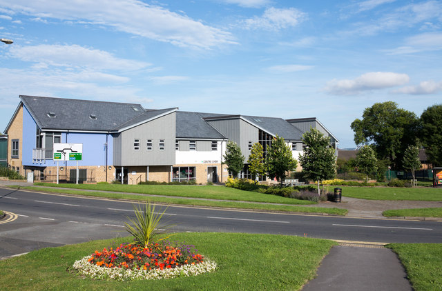
Urpeth
- Overview About Urpeth Map Street View Parish Urpeth is a village and civil parish in County Durham. Village: the village of Urpeth is located just east of Ouston and about …
Co-Curate Page
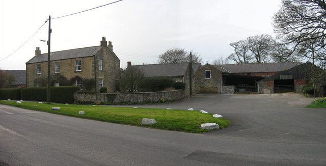
Ouston
- Overview About Ouston Map Street View Ouston is a village in County Durham, located just over a mile north of Chester-le-Street. There was a small settlement here in medieval times.[1] …
Co-Curate Page
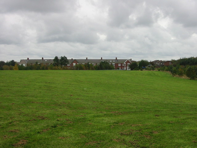
Edmondsley
- Overview About Edmondsley Map Street View Edmondsley is a small village in County Durham, England. It is situated a few miles south-west of Chester-le-Street, near the villages of Craghead …

Co-Curate Page
Chester-Le-Street Parish, 1848
- CHESTER-LE-STREET (St. Mary and St. Cuthbert), a parish, and the head of a union (though a portion of the parish is in the union of Lanchester), partly in the N. …
Co-Curate Page
Urpeth
- Overview About Urpeth Map Street View Parish Urpeth is a village and civil parish in County Durham. Village: the village of Urpeth is located just east of Ouston and about …
Co-Curate Page
Ouston
- Overview About Ouston Map Street View Ouston is a village in County Durham, located just over a mile north of Chester-le-Street. There was a small settlement here in medieval times.[1] …