Topics > Tyne and Wear > North Tyneside > Tynemouth > Tynemouth Pier and Lighthouse
Tynemouth Pier and Lighthouse
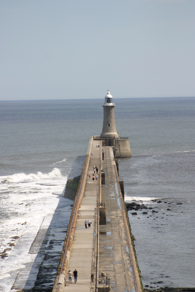
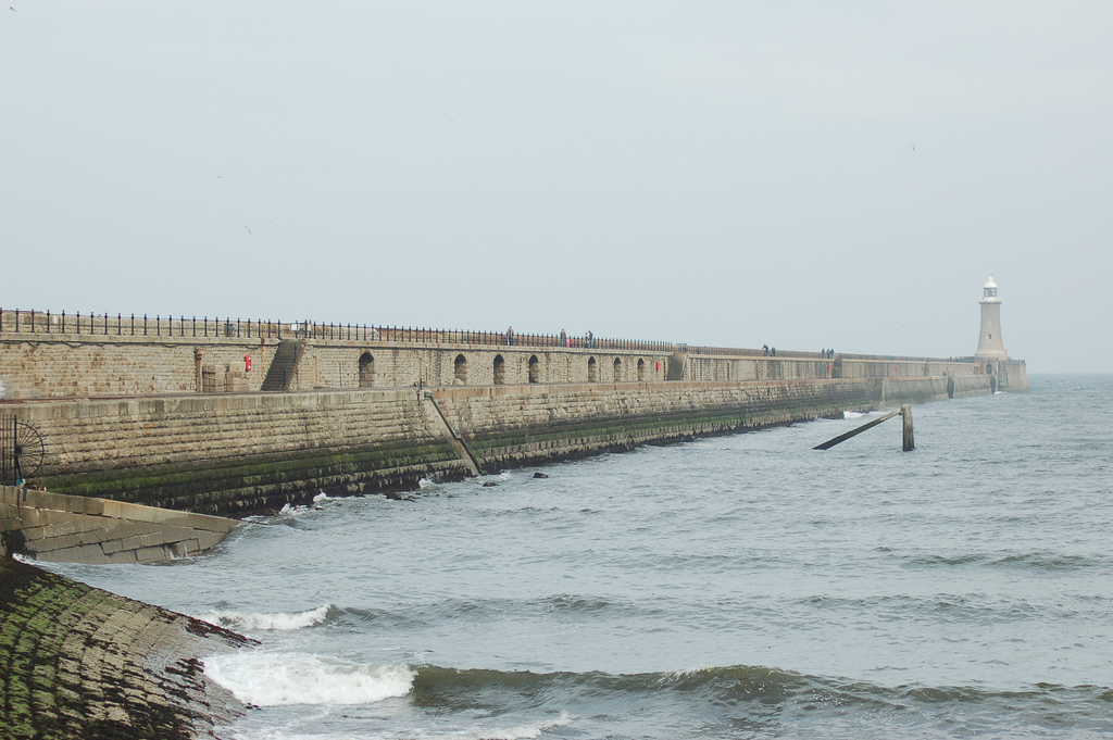
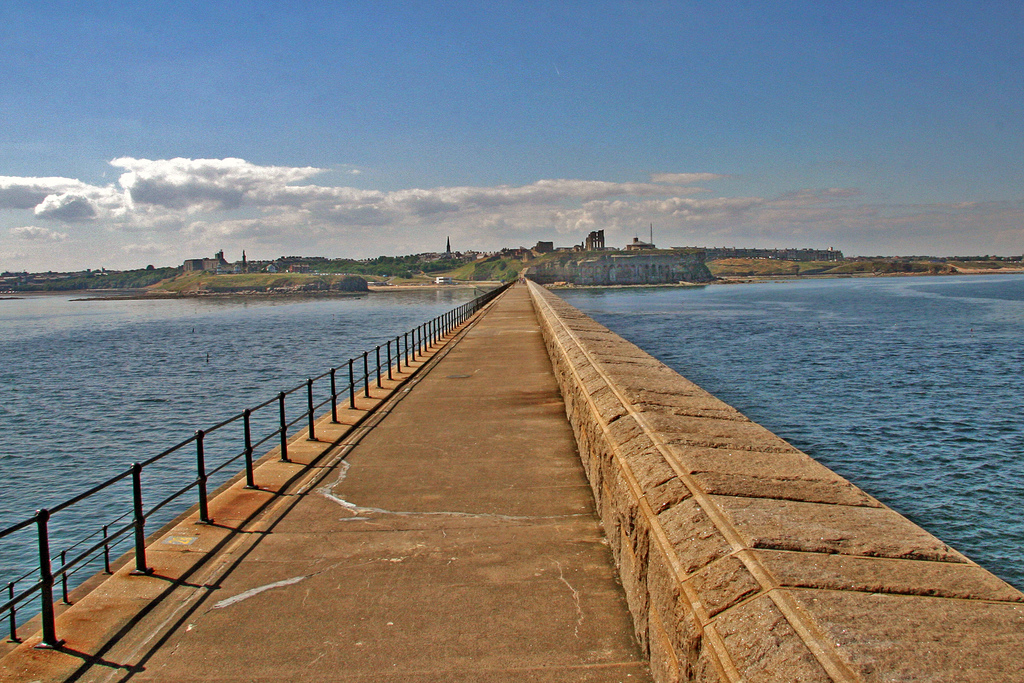
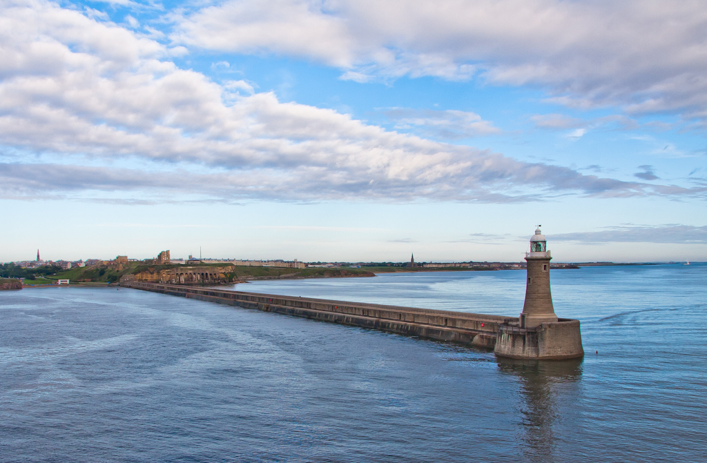
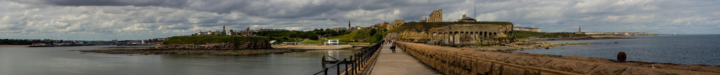
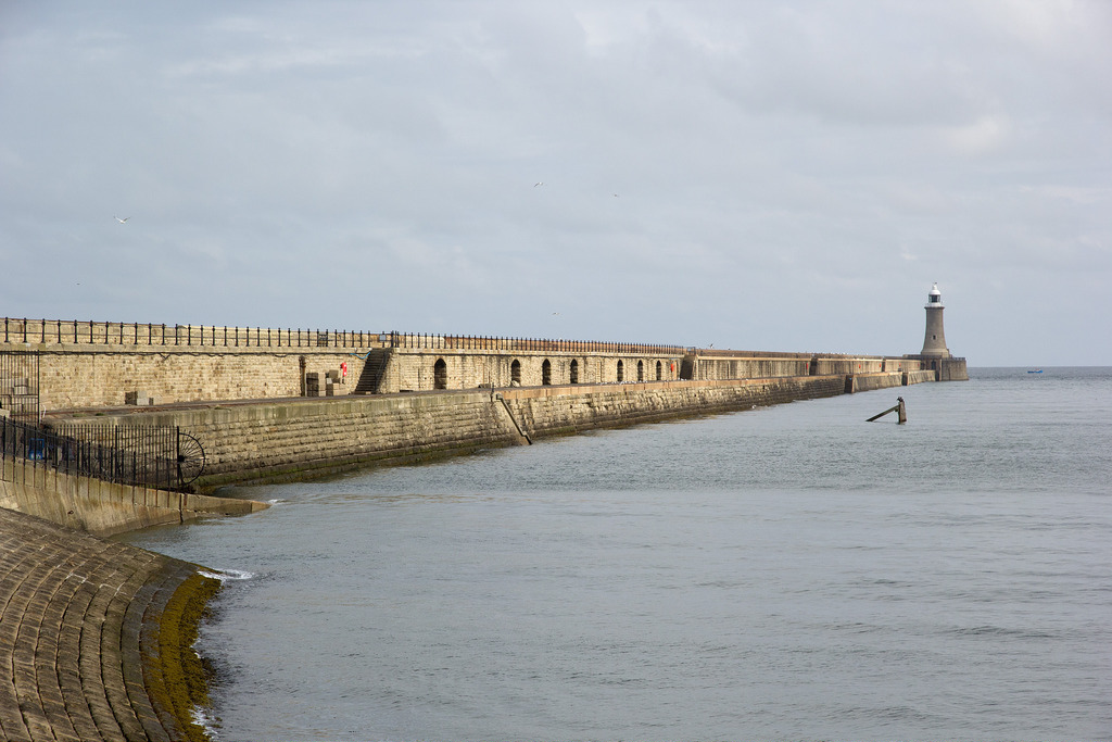
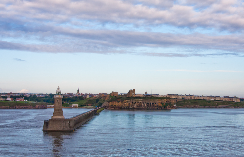
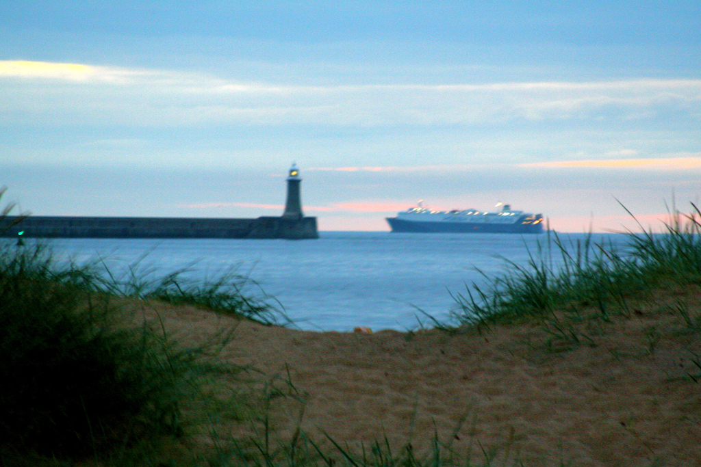
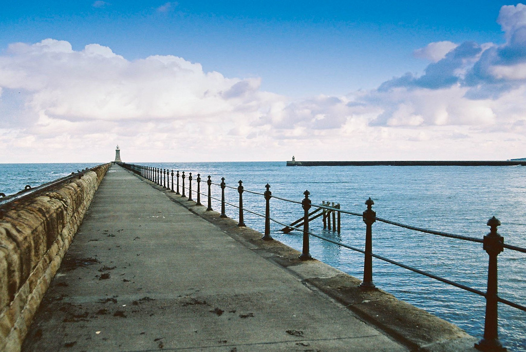
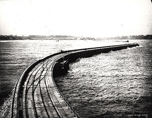
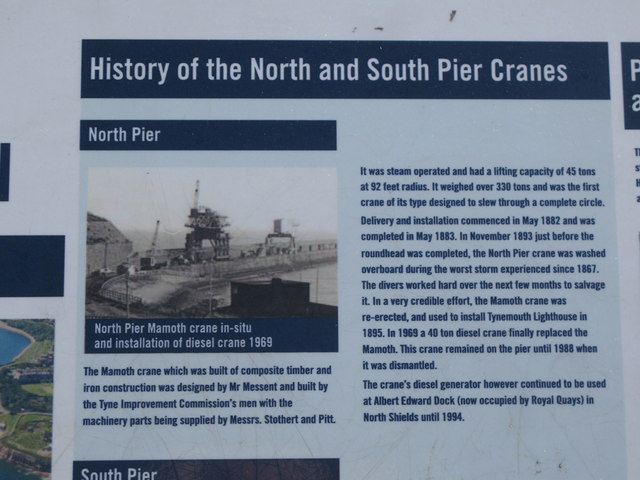
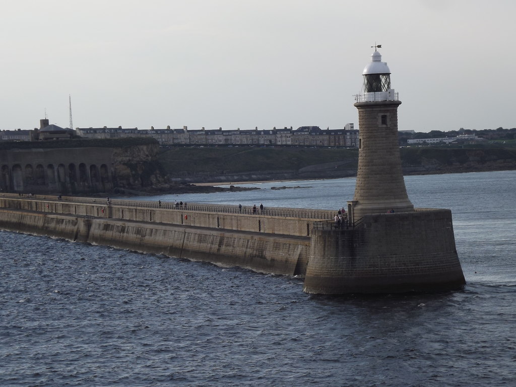
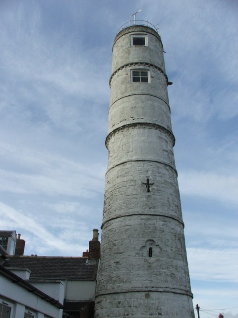
Work on the North Pier in Tynemouth began in 1854 and on the South Pier (in South Shields) in 1856. Both piers were originally constructed in a curved shape, however, following a series storms the central section of the North Pier was damaged and the pier was rebuilt in a straight line. Work on the current North Pier began in 1898 and was finally completed in 1910.
from Newcastle libraries (flickr)
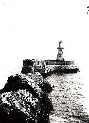
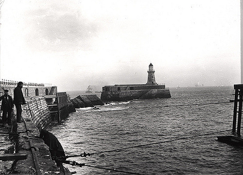
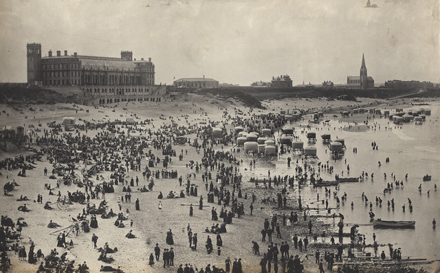
003216:Tynemouth lighthouse and pier Tynemouth Unknown c.1900
Pinned by Simon Cotterill
from Newcastle libraries (flickr)
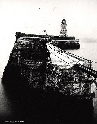
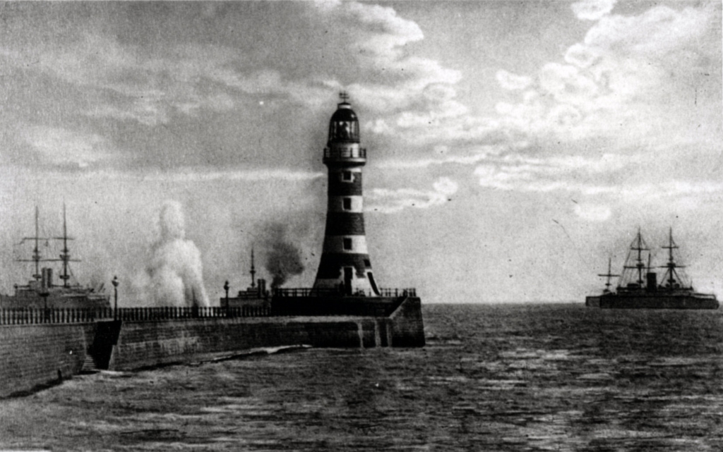
023802:Tynemouth Pier North Tyneside C. 1900
Pinned by Simon Cotterill
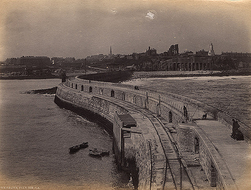
from Newcastle libraries (flickr)
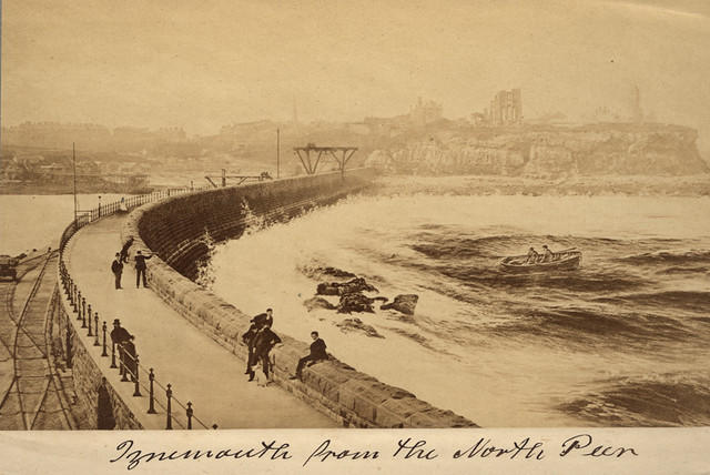
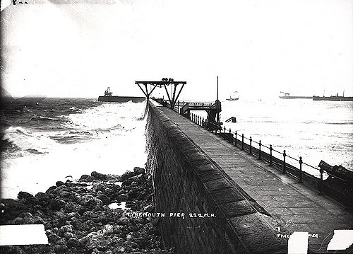
026203:Tynemouth North Tyneside Tyne and Wear 1890
Pinned by Simon Cotterill

Co-Curate Page
Tynemouth Village Conservation Area
- The conservation area was designated in 1971, with some boundary amendments made in 2009. A community-led Character Statement was adopted in July 2003. The Tynemouth Village Conservation Area Management Strategy …


from Flickr (flickr)
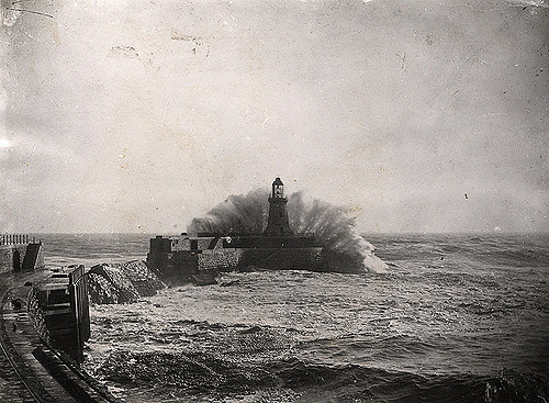
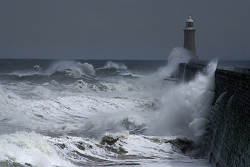
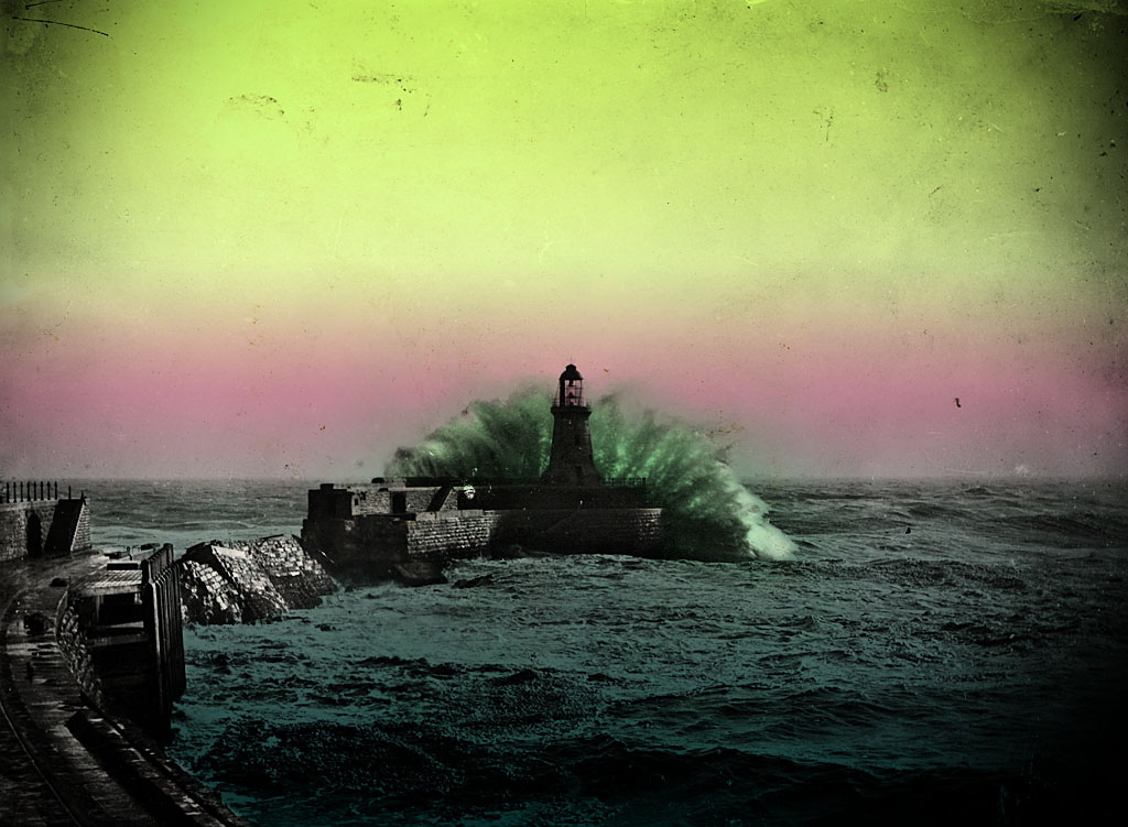
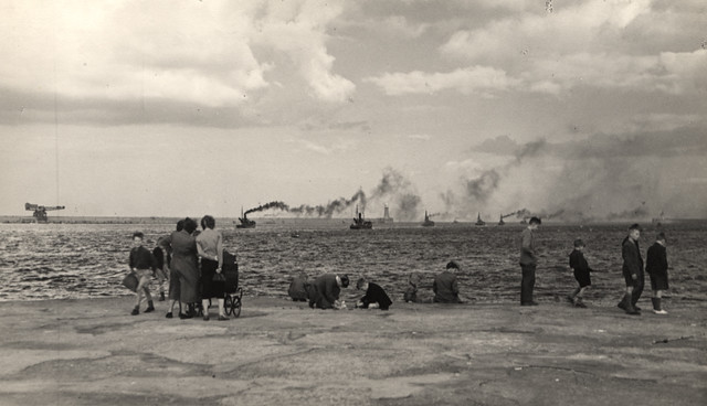
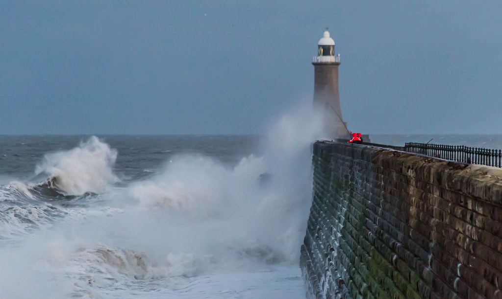
View of a wave-lashed Tynemouth Pier from Tynemouth Priory, Tynemouth, Tyne and Wear
Pinned by Simon Cotterill

from https://historicengland.org.u…
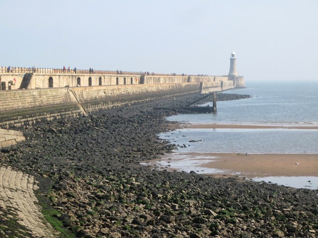
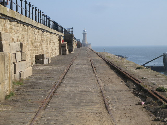
NORTH PIER WITH CRANE ATTACHED AND LIGHTHOUSE - Tynemouth - List Entry
- "Pier and lighthouse. 1854-1895; partly rebuilt in 1909. Engineers W.A. Brookes to 1858, J. F. Ure from 1858, and P.J. Messent from 1862,for Tyne Improvement Commissioners. Rock-faced stone pier and …
Added by
Simon Cotterill

from http://www.twsitelines.info/S…
Tyne and Wear HER(2065): Tynemouth, North Pier
- "The North Pier, Tynemouth, is a rock-faced stone pier and north shelter wall, with iron crane. A painted rendered ashlar lighthouse with a glass lantern stands at the end of …
Added by
Simon Cotterill


Co-Curate Page
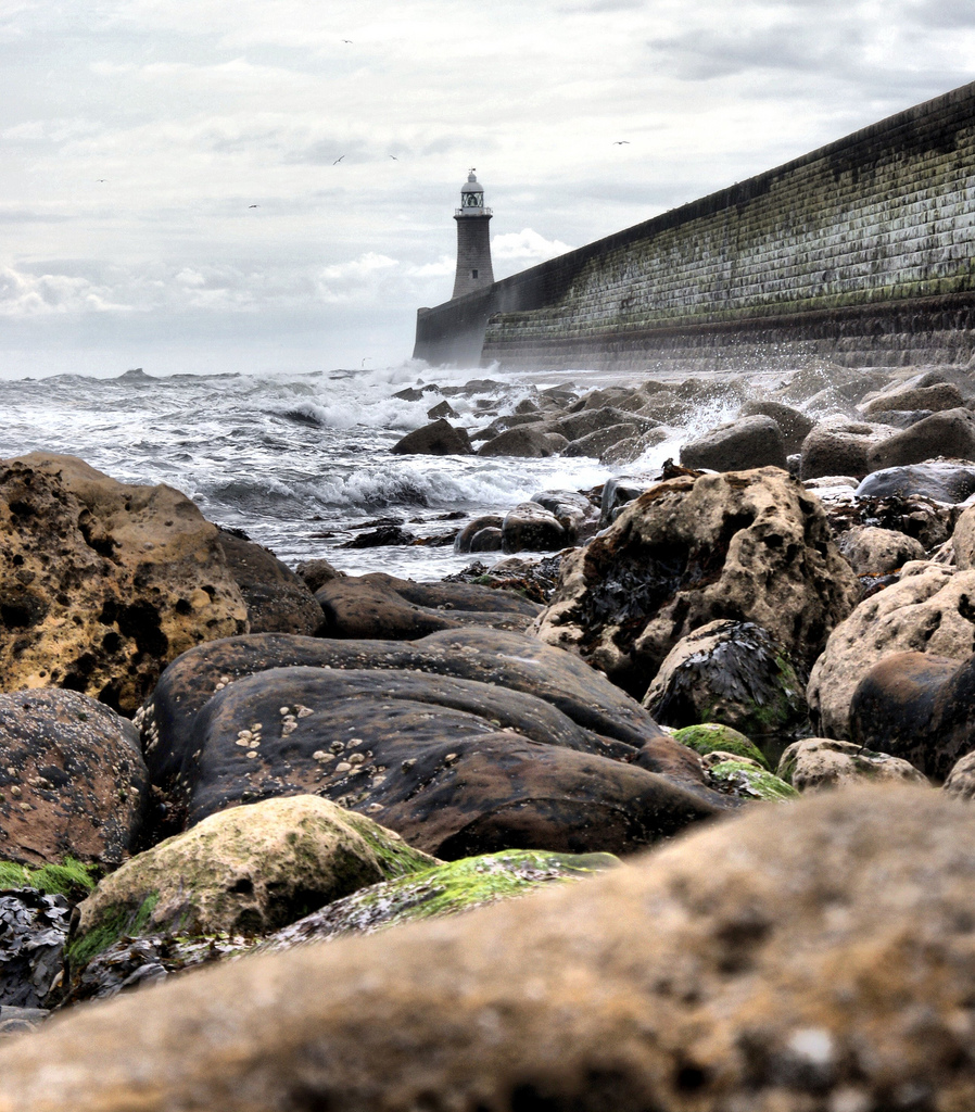
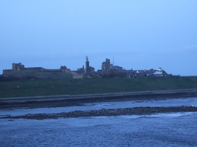
Black Middens Rocks
- Overview About the Balck Middens Map Street View The Black Middens are a rock formation at the mouth of the River Tyne. In the past they were a particularly dangerous hazard …


from Newcastle libraries (flickr)
003216:Tynemouth lighthouse and pier Tynemouth Unknown c.1900
Pinned by Simon Cotterill
from Newcastle libraries (flickr)
023802:Tynemouth Pier North Tyneside C. 1900
Pinned by Simon Cotterill
from Newcastle libraries (flickr)
026203:Tynemouth North Tyneside Tyne and Wear 1890
Pinned by Simon Cotterill
Co-Curate Page
Tynemouth Village Conservation Area
- The conservation area was designated in 1971, with some boundary amendments made in 2009. A community-led Character Statement was adopted in July 2003. The Tynemouth Village Conservation Area Management Strategy …
from Flickr (flickr)
View of a wave-lashed Tynemouth Pier from Tynemouth Priory, Tynemouth, Tyne and Wear
Pinned by Simon Cotterill
from https://historicengland.org.u…
NORTH PIER WITH CRANE ATTACHED AND LIGHTHOUSE - Tynemouth - List Entry
- "Pier and lighthouse. 1854-1895; partly rebuilt in 1909. Engineers W.A. Brookes to 1858, J. F. Ure from 1858, and P.J. Messent from 1862,for Tyne Improvement Commissioners. Rock-faced stone pier and …
Added by
Simon Cotterill
from http://www.twsitelines.info/S…
Tyne and Wear HER(2065): Tynemouth, North Pier
- "The North Pier, Tynemouth, is a rock-faced stone pier and north shelter wall, with iron crane. A painted rendered ashlar lighthouse with a glass lantern stands at the end of …
Added by
Simon Cotterill
Co-Curate Page
Black Middens Rocks
- Overview About the Balck Middens Map Street View The Black Middens are a rock formation at the mouth of the River Tyne. In the past they were a particularly dangerous hazard …


List number: 1025352
List grade: 2
Tyne & Wear HER: 2065
Borough: North Tyneside
Grid ref: NZ3779969194
List grade: 2
Tyne & Wear HER: 2065
Borough: North Tyneside
Grid ref: NZ3779969194


