Topics > Historical Periods > 19th Century > 1850s > 1856
1856
In Northern England:
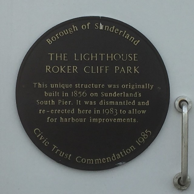
- 1856: Lighthouse built on Sunderland's South Pier.
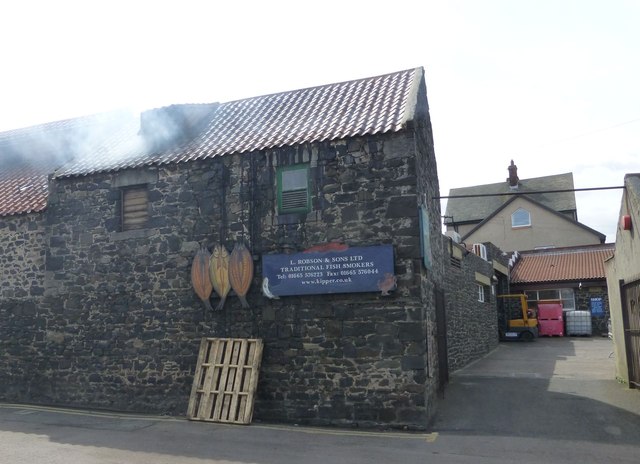
- 1856: Robson's Smokehouse built in Craster.
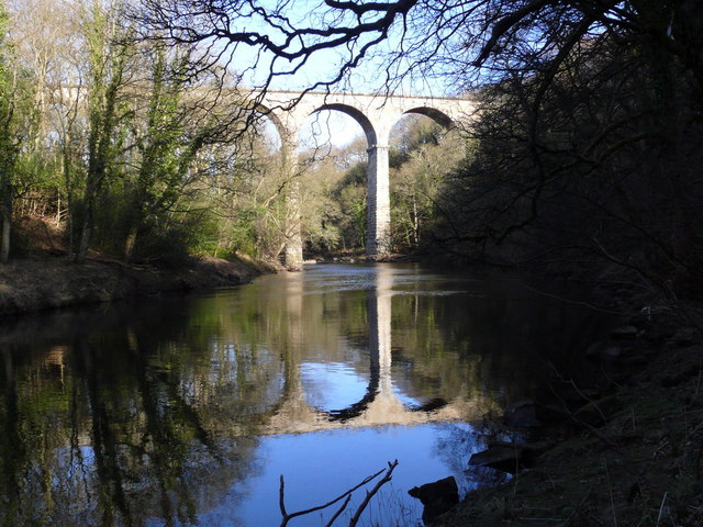
- 1856: Belmont Viaduct built to carry the railway over the River Wear, near Durham
Co-Curate Page
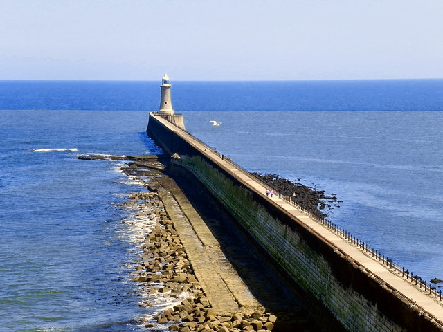
Tynemouth Pier and Lighthouse
- Overview Map Street View Work on the North Pier in Tynemouth began in 1854 and on the South Pier (in South Shields) in 1856. Both piers were originally constructed in …
from http://books.google.co.uk/boo…
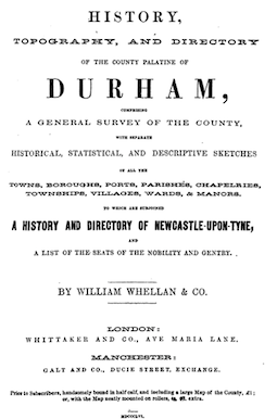
History, Topography, and Directory of the County Palatine of Durham: Comprising a General Survey of the County, with Separate Historical, Statistical, and Descriptive Sketches of All the Towns, Boroughs, Ports, Parishes...(1856)
- Comprising a General Survey of the County, with Separate Historical, Statistical, and Descriptive Sketches of All the Towns, Boroughs, Ports, Parishes, Chapelries, Townships, Villages, Wards, and Manors. To which are …
Added by
Simon Cotterill
Co-Curate Page
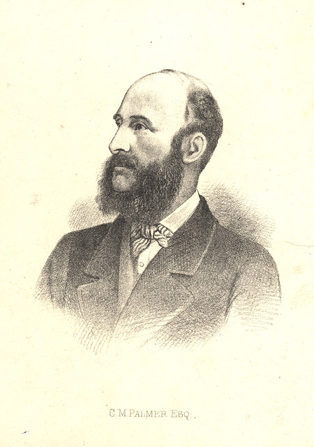
Sir Charles Mark Palmer (1822-1907)
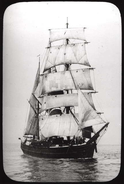
- Overview About Charles Mark Palmer, Sir Charles Mark Palmer, was a shipbuilding entrepreneur born in South Shields, who later became a Liberal Party politician and Member of Parliament. In 1852 …
Co-Curate Page
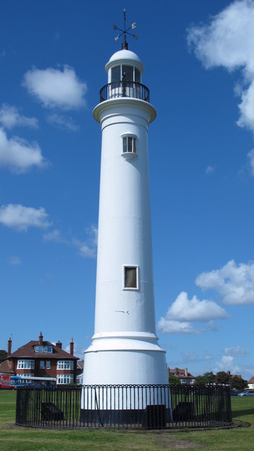
Lighthouse, Roker Cliff Park
- The lighthouse was originally built in 1856 on Sunderland's South Pier. In 1983 it was dismantled to allow for harbour improvements, and then re-erected in Roker Cliff Park, between Roker …
Co-Curate Page
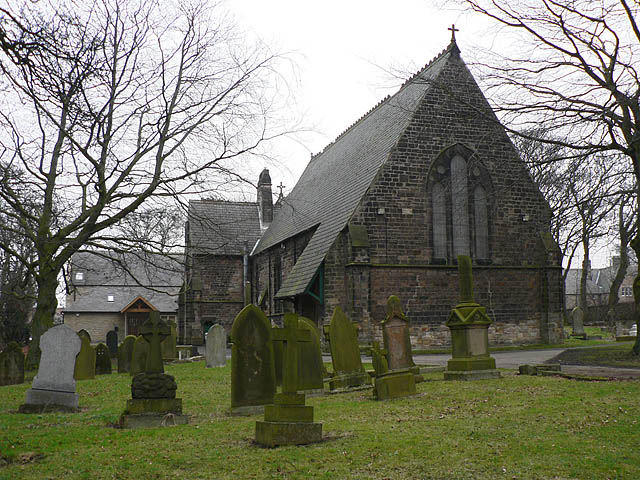
Church of St Ninian, RC
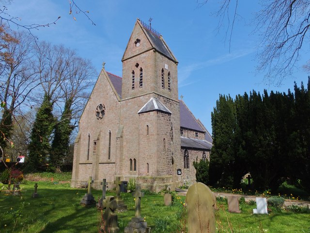
- Overview Map Street View St Ninian's is a Roman Catholic church in Wooler, Northumberland. It was designed by George Goldie and completed in 1856.[1] The church is Grade II listed …
Co-Curate Page
The Central
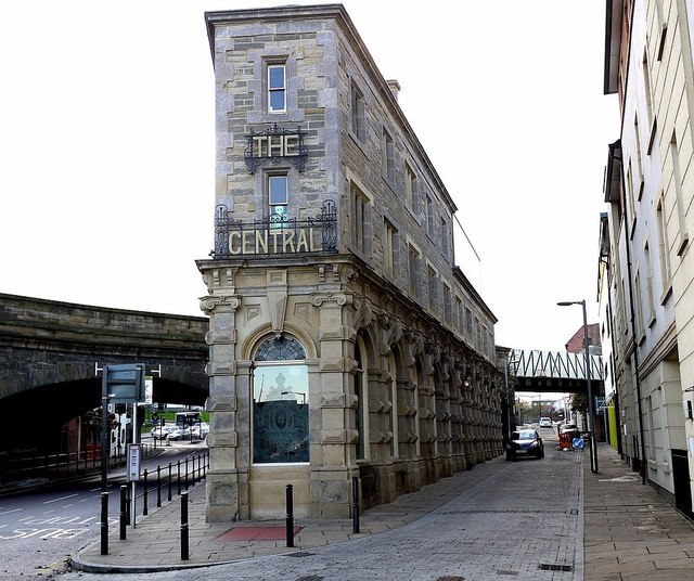
- Overview Map Street View The Central is a public house on Half Moon Lane and Hills Street in Gateshead. It was built in 1856, designed by M. Thompson for Alderman Potts, wine merchant, …
Co-Curate Page
Dudley Colliery (1856 - 1977)
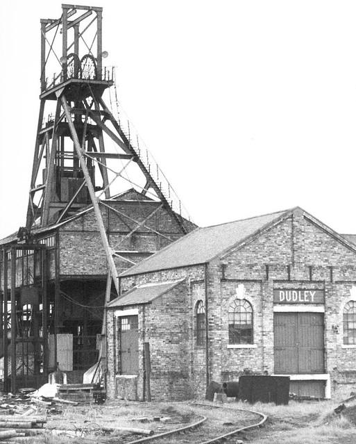
- The sinking of Dudley Colliery was started on the 19th of April 1854, and it began producing coal in 1856. In 1930 the colliery reach it's peak levels of employment with 858 …
Co-Curate Page
Craster Kippers
- Overview About Craster Kippers Map Street View Robson's Smokehouse is located on Haven Hill, a short distance from the harbour in Craster. It is the only remaining smokehouse in Craster …
Co-Curate Page
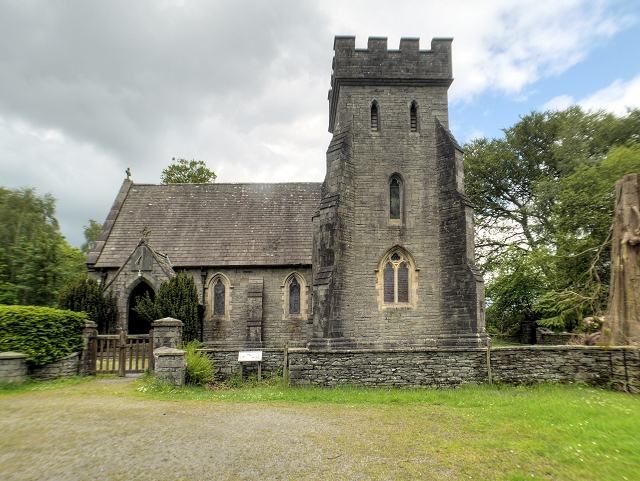
Church of St Margaret, Low Wray
- Overview Map St Margaret's church at Low Wray was built in c.1856 as an estate church for Wray Castle, which had recently been built for James Dawson, a surgeon from …
Co-Curate Page
Belmont Viaduct
- Overview Map Belmont Viaduct is a railway viaduct over the River Wear, built in 1856 for the Auckland branch line of the North Eastern Railway. It is located north of the …
Co-Curate Page
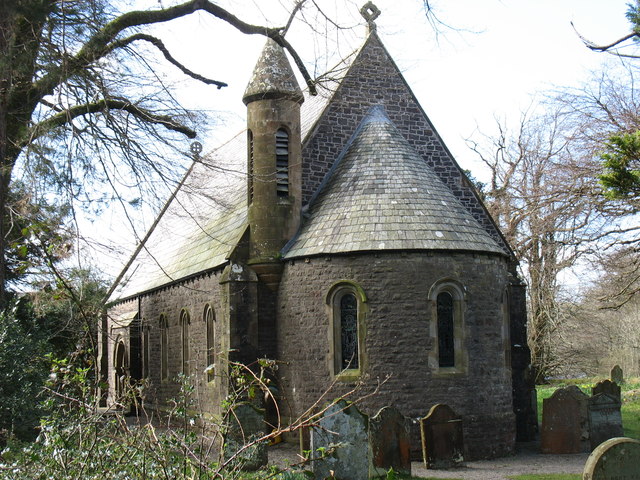
Church of St Mary, Ennerdale Bridge
- Overview Map Street View Inside St Mary's Church in Ennerdale Bridge dates back to the 16th Century. It was first recoded in 1534 as a chapel of ease, and was largely …
Co-Curate Page
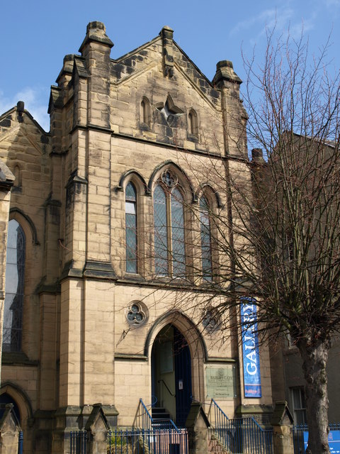
Bailiffgate Museum, Alnwick
- Overview Map Street View Bailiffgate Museum and Gallery, a community-run museum dedicated to the history of Alnwick and its surrounding area. The museum is located in the formner Roman Catholic Church …
Co-Curate Page
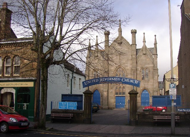
Cockermouth URC Church
- Overview Map Street View The United Reformed Church (URC) is located off Main Street in Cockermouth. The current church building dates from 1856.[1] (some sources state 1850) The church's origins …
Co-Curate Page
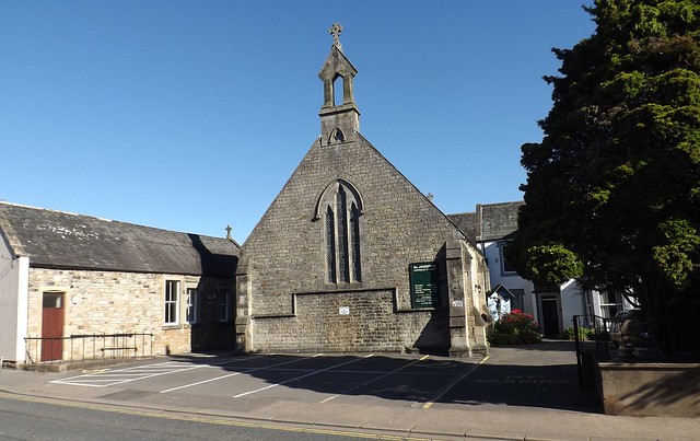
St Joseph's RC Church, Cockermouth
- Overview Map Street View St Joseph's Roman Catholic Church is located on Crown Street in Cockermouth. The first priest appointed to the parish was Fr. Orrell in 1853, who built …
Co-Curate Page
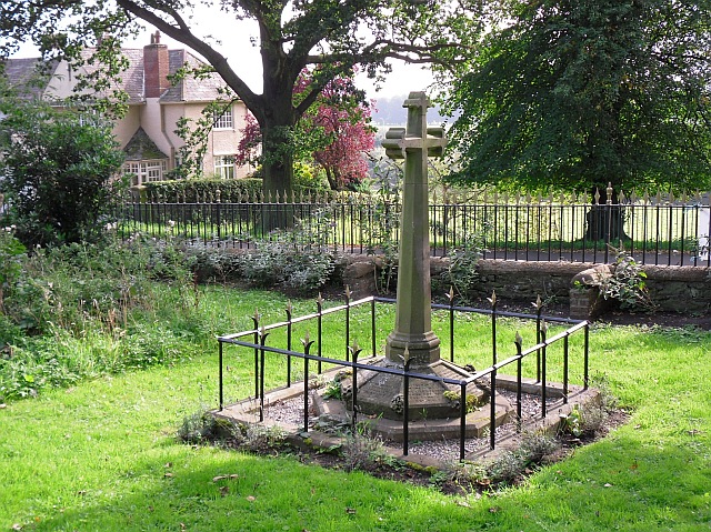
Monument to Dean Tait's Children, Stanwix
- In the churchyard of St Michael's Church in Stanwix, is a monument to the 5 children of Dean Tait, who died within weeks of each other of smallpox in 1856. …
Co-Curate Page
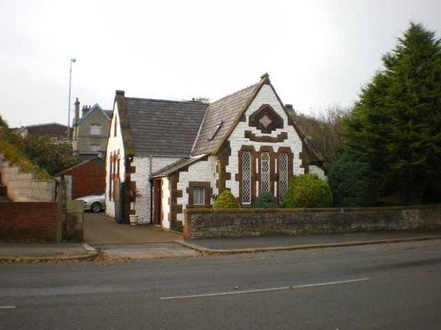
The Old School House, Vickerstown
- Overview Map Street View The Old School House is located on the Pomenade, immediately south of St Mary's Church, in Vickerstown, Walney Island. The school was built in 1856, to …
Co-Curate Page
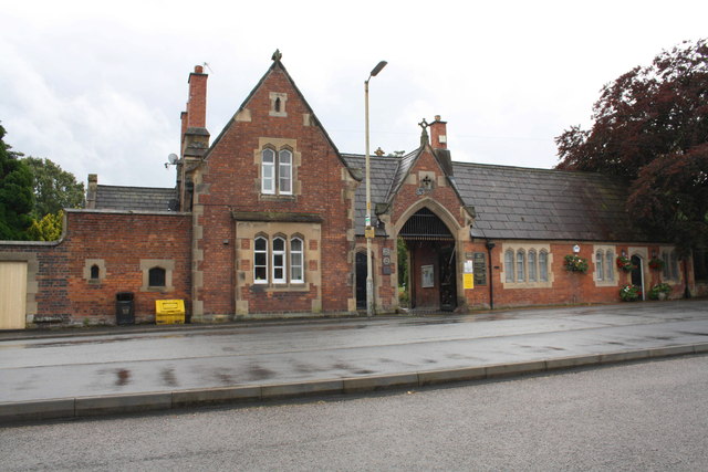
Carlisle Cemetery entrance lodge, Richardson Street
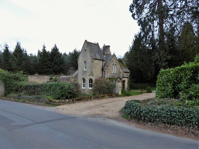
- Overview Map Street View Carlisle Cemetery entrance lodge is located on Richardson Street, Carlisle. The curator's house (No. 153 Richardson Street) and cemetery offices, Flemish bond brickwork, were built by …


Co-Curate Page
Tynemouth Pier and Lighthouse
- Overview Map Street View Work on the North Pier in Tynemouth began in 1854 and on the South Pier (in South Shields) in 1856. Both piers were originally constructed in …

from http://books.google.co.uk/boo…
History, Topography, and Directory of the County Palatine of Durham: Comprising a General Survey of the County, with Separate Historical, Statistical, and Descriptive Sketches of All the Towns, Boroughs, Ports, Parishes...(1856)
- Comprising a General Survey of the County, with Separate Historical, Statistical, and Descriptive Sketches of All the Towns, Boroughs, Ports, Parishes, Chapelries, Townships, Villages, Wards, and Manors. To which are …
Added by
Simon Cotterill

Co-Curate Page
Sir Charles Mark Palmer (1822-1907)
- Overview About Charles Mark Palmer, Sir Charles Mark Palmer, was a shipbuilding entrepreneur born in South Shields, who later became a Liberal Party politician and Member of Parliament. In 1852 …

Co-Curate Page
Lighthouse, Roker Cliff Park
- The lighthouse was originally built in 1856 on Sunderland's South Pier. In 1983 it was dismantled to allow for harbour improvements, and then re-erected in Roker Cliff Park, between Roker …

Co-Curate Page
Church of St Ninian, RC
- Overview Map Street View St Ninian's is a Roman Catholic church in Wooler, Northumberland. It was designed by George Goldie and completed in 1856.[1] The church is Grade II listed …

Co-Curate Page
The Central
- Overview Map Street View The Central is a public house on Half Moon Lane and Hills Street in Gateshead. It was built in 1856, designed by M. Thompson for Alderman Potts, wine merchant, …

Co-Curate Page
Dudley Colliery (1856 - 1977)
- The sinking of Dudley Colliery was started on the 19th of April 1854, and it began producing coal in 1856. In 1930 the colliery reach it's peak levels of employment with 858 …

Co-Curate Page
Craster Kippers
- Overview About Craster Kippers Map Street View Robson's Smokehouse is located on Haven Hill, a short distance from the harbour in Craster. It is the only remaining smokehouse in Craster …

Co-Curate Page
Church of St Margaret, Low Wray
- Overview Map St Margaret's church at Low Wray was built in c.1856 as an estate church for Wray Castle, which had recently been built for James Dawson, a surgeon from …

Co-Curate Page
Belmont Viaduct
- Overview Map Belmont Viaduct is a railway viaduct over the River Wear, built in 1856 for the Auckland branch line of the North Eastern Railway. It is located north of the …

Co-Curate Page
Church of St Mary, Ennerdale Bridge
- Overview Map Street View Inside St Mary's Church in Ennerdale Bridge dates back to the 16th Century. It was first recoded in 1534 as a chapel of ease, and was largely …

Co-Curate Page
Bailiffgate Museum, Alnwick
- Overview Map Street View Bailiffgate Museum and Gallery, a community-run museum dedicated to the history of Alnwick and its surrounding area. The museum is located in the formner Roman Catholic Church …

Co-Curate Page
Cockermouth URC Church
- Overview Map Street View The United Reformed Church (URC) is located off Main Street in Cockermouth. The current church building dates from 1856.[1] (some sources state 1850) The church's origins …

Co-Curate Page
St Joseph's RC Church, Cockermouth
- Overview Map Street View St Joseph's Roman Catholic Church is located on Crown Street in Cockermouth. The first priest appointed to the parish was Fr. Orrell in 1853, who built …

Co-Curate Page
Monument to Dean Tait's Children, Stanwix
- In the churchyard of St Michael's Church in Stanwix, is a monument to the 5 children of Dean Tait, who died within weeks of each other of smallpox in 1856. …

Co-Curate Page
The Old School House, Vickerstown
- Overview Map Street View The Old School House is located on the Pomenade, immediately south of St Mary's Church, in Vickerstown, Walney Island. The school was built in 1856, to …

Co-Curate Page
Carlisle Cemetery entrance lodge, Richardson Street
- Overview Map Street View Carlisle Cemetery entrance lodge is located on Richardson Street, Carlisle. The curator's house (No. 153 Richardson Street) and cemetery offices, Flemish bond brickwork, were built by …

Monument to Dean Tait's Children, Stanwix
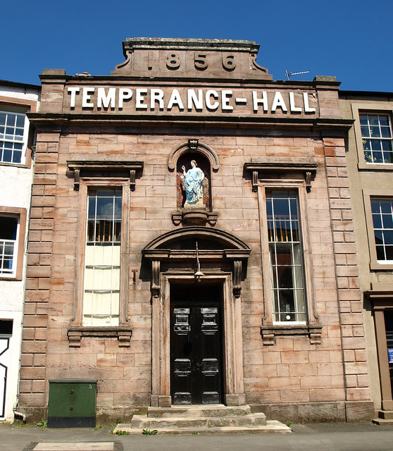
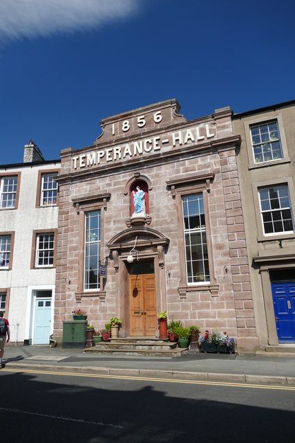
Temperance Hall, Kirkby Stephen

Church of St Mary, Ennerdale Bridge

The Old School House, Vickerstown

Sir Charles Mark Palmer (1822-1907)

Carlisle Cemetery entrance lodge, Richardson Street

Church of St Margaret, Low Wray

St Joseph's RC Church, Cockermouth
