Topics > Civil Parishes in Cumbria > Stainton Civil Parish
Stainton Civil Parish
Area: 7.0 km²
Population:
316 (2021 Census)
313 (2011 Census)
301 (2001 Census)
Co-Curate Page
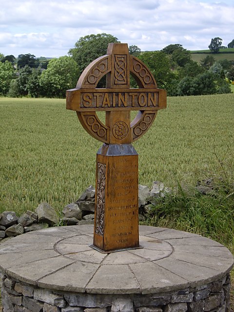
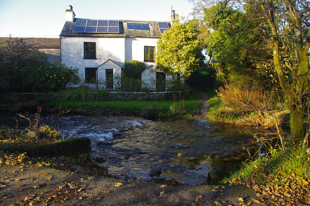
Stainton
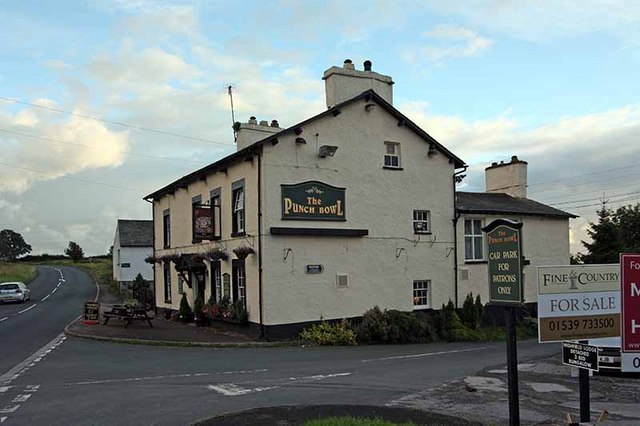
- Overview About Stainton Map Street View Stainton is a village in the South Lakeland district of Cumbria, located about 4 miles south of Kendal. The village is situated by Stainton …
Co-Curate Page
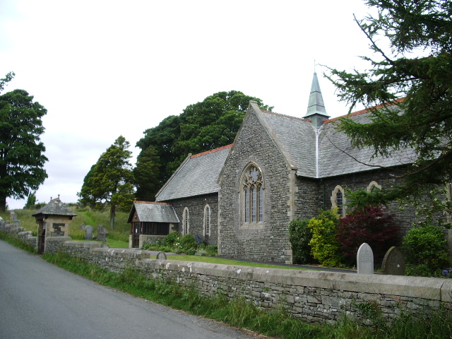
Crosscrake
- Overview Map Street View Crosscrake is a distributed village in the South Lakeland district of Cumbria, located about 3 miles south of Kendal. The village includes Crosscrake CE Nursery and …
Co-Curate Page
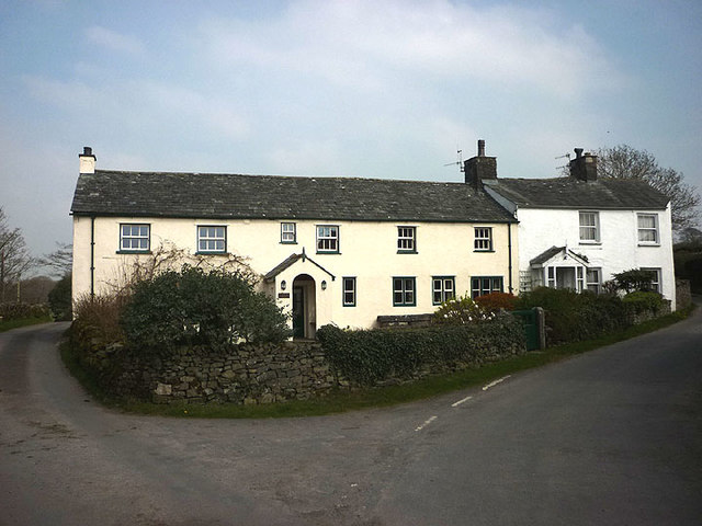
Halfpenny
- Overview Map Street View Halfpenny is a hamlet in the South Lakeland district of Cumbria, located about 2½ miles south-east of Kendal. There is a ford over St Sunday's Beck …

from https://www.cumbriacountyhist…
Stainton
- "Chapelry and township in Heversham parish, Kendal ward, Westmorland....passed by marriage of Helen daughter of Anselm de Furness to Ralph Deincourt of Sizergh in early 13th century; descended with Sizergh …
Added by
Simon Cotterill
Co-Curate Page
Barrows Green
- Overview Map Street View Barrows Green is a hamlet in the South Lakeland district of Cumbria, located about 2 miles south of Kendal and about half a mile from the village …

Co-Curate Page
Shyreakes
- Overview Map Street View Shyreakes is a hamlet in Cumbria, located about 3 miles south of Kendal and 1 mile north of the village of Stainton. It includes a few …

Co-Curate Page
Crosscrake Church of England School
- Overview Map Street View Crosscrake Church of England Nursery and Primary School is located near St Thomas' Church in Crosscrake, and is about half mile north of the village of …

Co-Curate Page
Stainton
- Overview About Stainton Map Street View Stainton is a village in the South Lakeland district of Cumbria, located about 4 miles south of Kendal. The village is situated by Stainton …
Co-Curate Page
Crosscrake
- Overview Map Street View Crosscrake is a distributed village in the South Lakeland district of Cumbria, located about 3 miles south of Kendal. The village includes Crosscrake CE Nursery and …
Co-Curate Page
Halfpenny
- Overview Map Street View Halfpenny is a hamlet in the South Lakeland district of Cumbria, located about 2½ miles south-east of Kendal. There is a ford over St Sunday's Beck …
from https://www.cumbriacountyhist…
Stainton
- "Chapelry and township in Heversham parish, Kendal ward, Westmorland....passed by marriage of Helen daughter of Anselm de Furness to Ralph Deincourt of Sizergh in early 13th century; descended with Sizergh …
Added by
Simon Cotterill
Co-Curate Page
Barrows Green
- Overview Map Street View Barrows Green is a hamlet in the South Lakeland district of Cumbria, located about 2 miles south of Kendal and about half a mile from the village …
Co-Curate Page
Shyreakes
- Overview Map Street View Shyreakes is a hamlet in Cumbria, located about 3 miles south of Kendal and 1 mile north of the village of Stainton. It includes a few …