Topics > Tyne and Wear > Newcastle upon Tyne > Hazlerigg
Hazlerigg
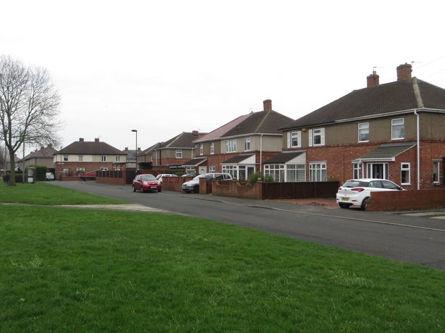
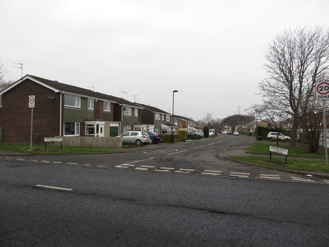
Hazlerigg is a village in the City of Newcastle (and part in North Tyneside). Historically it was a small agricultural community. The village grew considerably in the 19th and 20th centuries in associateion with coal mining in the area, including Hazlerigg Colliery (opened in 1892) and later the Havannah Drift Mine (1950). After the mining ended the colliery land is now woodland and some of the former drift mine was redeveloped as Havannah Nature Reserve. The village now forms Hazlerigg Civil Parish, which also includes much of the 'Newcastle Great Park' developments.
Hazlerigg (often misspelled Hazelrigg) is a village and civil parish north of the City of Newcastle upon Tyne in Tyne and Wear, England. It is about north of the city centre, on the A1. It is split between Newcastle upon Tyne and North Tyneside, each side of the A1 being a different district. The parish council administer the Newcastle side, whereas the area located in North Tyneside is unparished. Much of the Newcastle Great Park development is within the area administered by the Hazlerigg Parish Council.
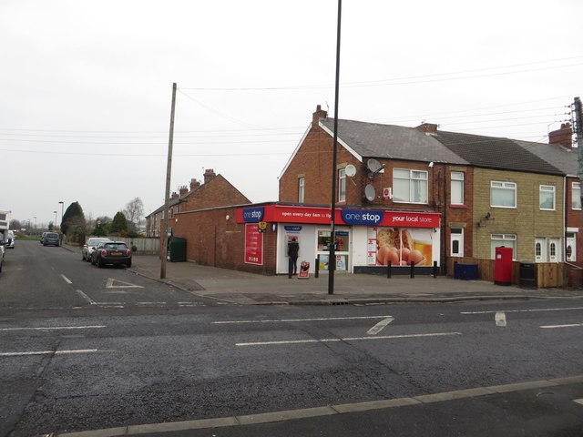
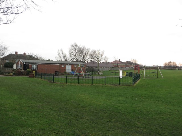
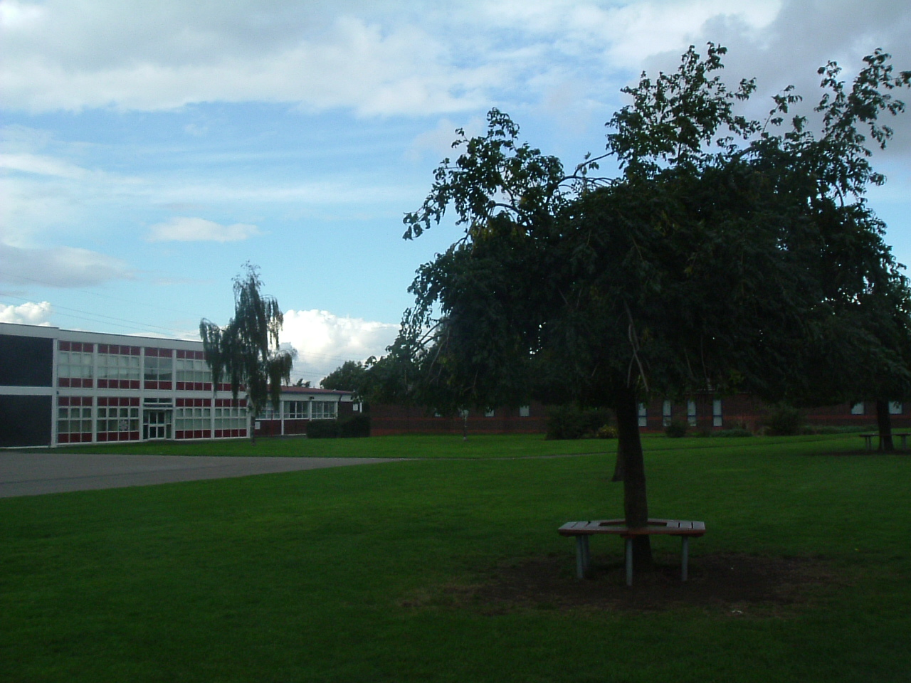
Located in the village is a Post Office, a fish & chip shop, a beauty salon, a hairdresser, a garage, a convenience store and a social club that is now open under new management. In spite of having a population of 1,053, and almost 800 homes, Hazlerigg has never had a pub. The population of the civil Parish taken at the 2011 Census was 980. The village Community Centre is located at the west of the village next to the 'show field', formerly the site of the annual village Gala. A football field is located between Hazlerigg and the neighbouring Brunswick Village. Although Brunswick Village is only a 2-minute walk from Hazlerigg, the journey may take longer by car as there is no direct road linking the two villages, as they were once separated by a railway line for coal wagons. The path between the villages now follows the route of this wagonway. The shortest journey by road is two miles via Wideopen and the old Great North Road.
History
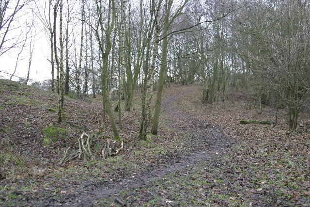
Hazlerigg was once the site of a colliery, which was in use from 1892 to 1964. The village prospered due to the export business thriving within it. Local houses for miners were built and they founded the village seen today by visitors and inhabitants. The site of Hazlerigg Colliery is now covered by trees, immediately to the west of the village.
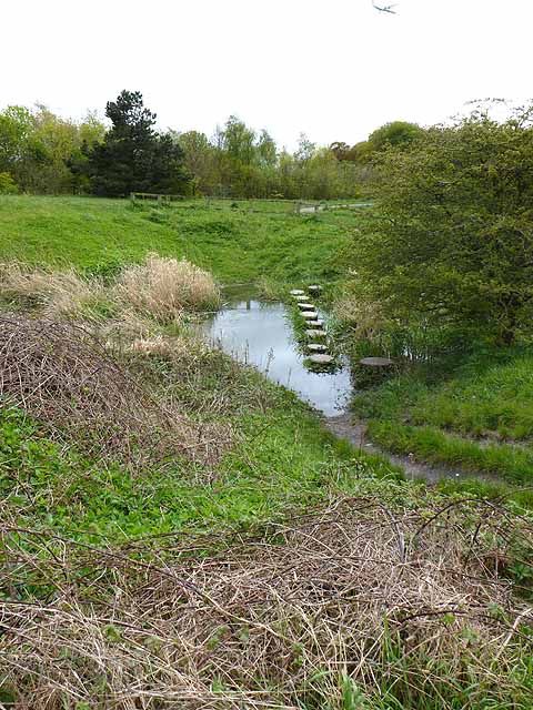
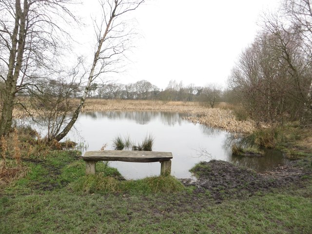
There was a second and newer coal mine a mile further to the west of Hazlerigg, known as the Havannah Drift Mine, which was opened in 1950. There were concerns that subsidence from the mining was threatening the runway of Newcastle Airport, and the pit closed in 1977. Many of its buildings survive and are now part of a plastics factory. A large area of the surrounding land is now the Havannah Nature Reserve to the south of Coach Lane.
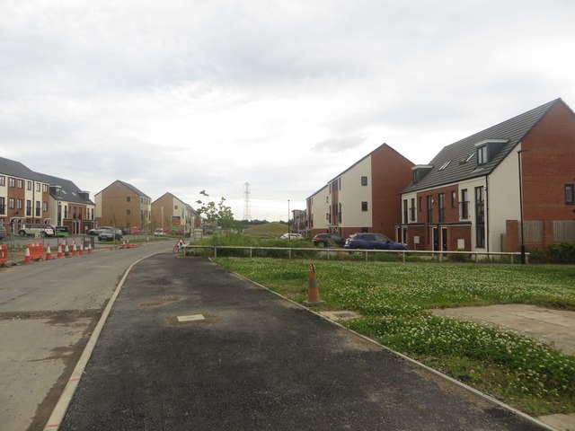
The village nature of Hazlerigg is threatened by the encroaching Newcastle Great Park development to the south, built on what was formerly Green Belt land.
Education
The nearest school is Hazlewood Community Primary School, of which most of the village children attend until Year 6.
from Newcastle libraries (flickr)
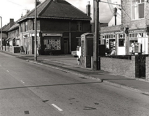
034242:A view of Hazelrigg City Engineers 1978
Pinned by Simon Cotterill
from Newcastle libraries (flickr)
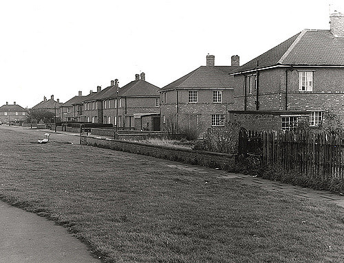
034240:A view of Hazelrigg City Engineers 1978
Pinned by Simon Cotterill
from Newcastle libraries (flickr)
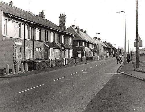
034239:A view of Hazelrigg City Engineers 1978
Pinned by Simon Cotterill
Co-Curate Page
Seaton Burn (river)
- Map of Seaton Burn and it's Catchment Area. Marker shows position of the Tidal Limit. Seaton Burn is a small river in Northumberland. It arises near Brunswick Village as Hartley Burn, flowing …
Co-Curate Page
Hazlewood Community Primary School, Wideopen
- Overview Map Street View Hazlewood Community Primary School is located on Canterbury Way in Wideopen. The school has about 220 pupils aged 3 to 11.[1]

from https://www.twsitelines.info/…
Hazlerigg, round house and ditches
- On an aerial photograph is what appears to be a fragmentary rectilinear enclosure, probably of Iron Age date. In 2013 part of the site was archaeologically excavated. The earliest remains …
Added by
Simon Cotterill

from Newcastle libraries (flickr)
034242:A view of Hazelrigg City Engineers 1978
Pinned by Simon Cotterill
from Newcastle libraries (flickr)
034240:A view of Hazelrigg City Engineers 1978
Pinned by Simon Cotterill
from Newcastle libraries (flickr)
034239:A view of Hazelrigg City Engineers 1978
Pinned by Simon Cotterill
Co-Curate Page
Seaton Burn (river)
- Map of Seaton Burn and it's Catchment Area. Marker shows position of the Tidal Limit. Seaton Burn is a small river in Northumberland. It arises near Brunswick Village as Hartley Burn, flowing …
Co-Curate Page
Hazlewood Community Primary School, Wideopen
- Overview Map Street View Hazlewood Community Primary School is located on Canterbury Way in Wideopen. The school has about 220 pupils aged 3 to 11.[1]
from https://www.twsitelines.info/…
Hazlerigg, round house and ditches
- On an aerial photograph is what appears to be a fragmentary rectilinear enclosure, probably of Iron Age date. In 2013 part of the site was archaeologically excavated. The earliest remains …
Added by
Simon Cotterill


")


