Topics > Tyne and Wear > Newcastle upon Tyne > Sandyford > Sandyford Road
Sandyford Road
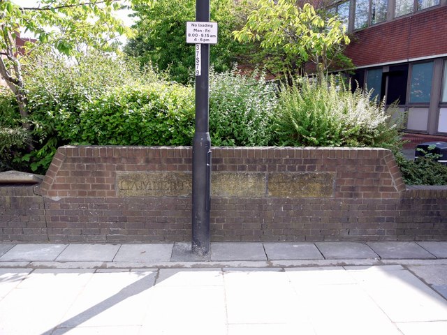
Sandyford Road is a 1.25km long road which runs from the centre of Newcastle to Jesmond via Sandyford. The starts from St Mary's Place in the city centre, running past the Civic Centre, the city campus of Northumbria University and buildings of Newcastle University. The road continues through Sandyford / Jesmond, past Jesmond Cemetery, until joining Jesmond Road and the A1058 route to the coast. There was once a deep ravine around the area of the junction of Sandyford Road and Grantham Road. This was the valley of the Sandyford Dene, a tributary of the Ouse Burn. There was a bridge and 'Lambert's Leap' where Cuthbert Lambert survived falling into the ravine after his horse jumped over the parapet of the bridge here in 1759. Sandyford Dene was infilled sometime after 1887.
from Newcastle libraries (flickr)
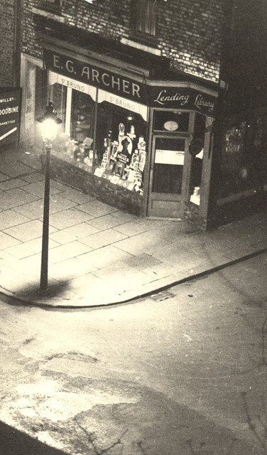
042798:E.G. Archer Sandyford Road/Marianople Street Sandyford Unknown 1950
Pinned by Simon Cotterill

from Newcastle libraries (flickr)
012551:Sandyford Salem Methodist Church Sandyford Road/Portland Road Sandyford Unknown c.1910
Pinned by Simon Cotterill
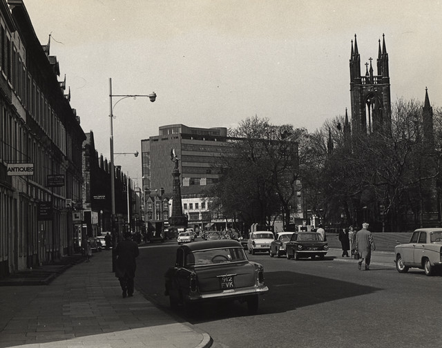
from Newcastle libraries (flickr)
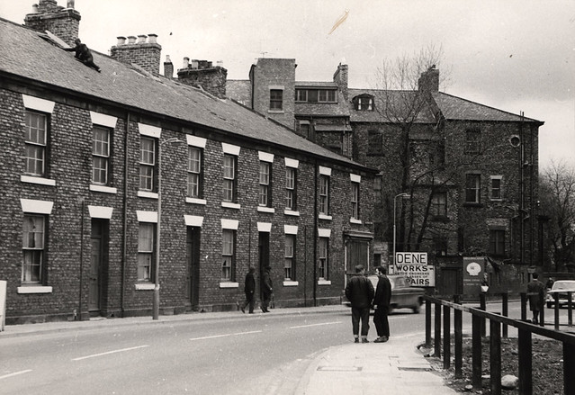
042182:Sandyford Road, Newcastle upon Tyne, 1967
Pinned by Simon Cotterill
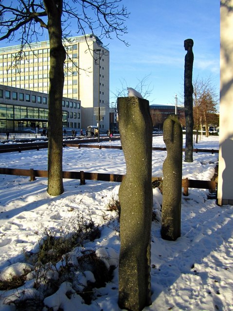
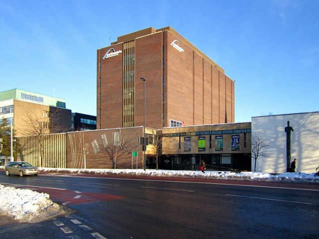
from Geograph (geograph)
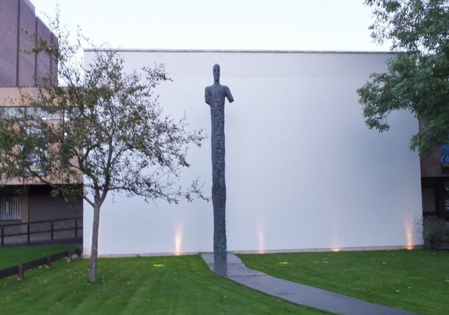
Sculptures outside Northumbria University Gallery, Sandyford Road
Pinned by Simon Cotterill
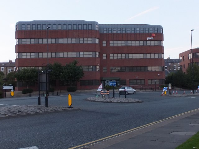
Co-Curate Page
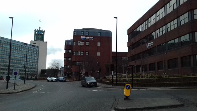
Marjorie Robinson Library Rooms
- Overview Map Street View The Marjorie Robinson Library Rooms of Newcastle University opened on the 11th January 2016.[1] The building on Sandyford Road (no. 89) was previously occupied by PwC …
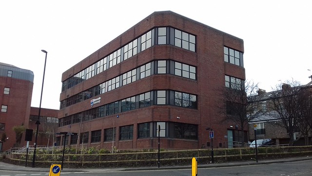
Co-Curate Page
Elizabeth Barraclough Building
- Overview Map Street View The Elizabeth Barraclough Building (formerly Black Horse House) is a 4 storey office building at 91 Sandyford Road, built in 1983. The building was purchased by …
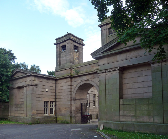
Co-Curate Page
Jesmond Old Cemetery
- Overview About Jesmond Old Cemetery Map Street View Jesmond Old Cemetery is a Victorian cemetery in Newcastle upon Tyne, United Kingdom, founded in 1834. It contains two Grade II …
Co-Curate Page
Civic Centre
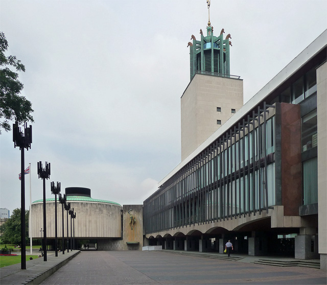
- Overview About the Civic Centre Map Street View The Civic Centre is the main administrative centre for Newcastle City Council located by Barras Bridge and St Mary's Place, next to St …


from Newcastle libraries (flickr)
042798:E.G. Archer Sandyford Road/Marianople Street Sandyford Unknown 1950
Pinned by Simon Cotterill

from Newcastle libraries (flickr)
012551:Sandyford Salem Methodist Church Sandyford Road/Portland Road Sandyford Unknown c.1910
Pinned by Simon Cotterill

from Newcastle libraries (flickr)
042182:Sandyford Road, Newcastle upon Tyne, 1967
Pinned by Simon Cotterill

from Geograph (geograph)
Sculptures outside Northumbria University Gallery, Sandyford Road
Pinned by Simon Cotterill

Co-Curate Page
Marjorie Robinson Library Rooms
- Overview Map Street View The Marjorie Robinson Library Rooms of Newcastle University opened on the 11th January 2016.[1] The building on Sandyford Road (no. 89) was previously occupied by PwC …

Co-Curate Page
Elizabeth Barraclough Building
- Overview Map Street View The Elizabeth Barraclough Building (formerly Black Horse House) is a 4 storey office building at 91 Sandyford Road, built in 1983. The building was purchased by …

Co-Curate Page
Jesmond Old Cemetery
- Overview About Jesmond Old Cemetery Map Street View Jesmond Old Cemetery is a Victorian cemetery in Newcastle upon Tyne, United Kingdom, founded in 1834. It contains two Grade II …

