Topics > Northumberland > Civil Parishes in Northumberland > Rochester with Byrness Civil Parish
Rochester with Byrness Civil Parish
Parish boundaries may have changed - for the latest map see the Parish Council or Northumberland County Council.
About the Parish
| Overview: |
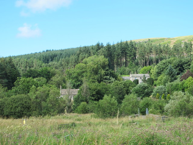
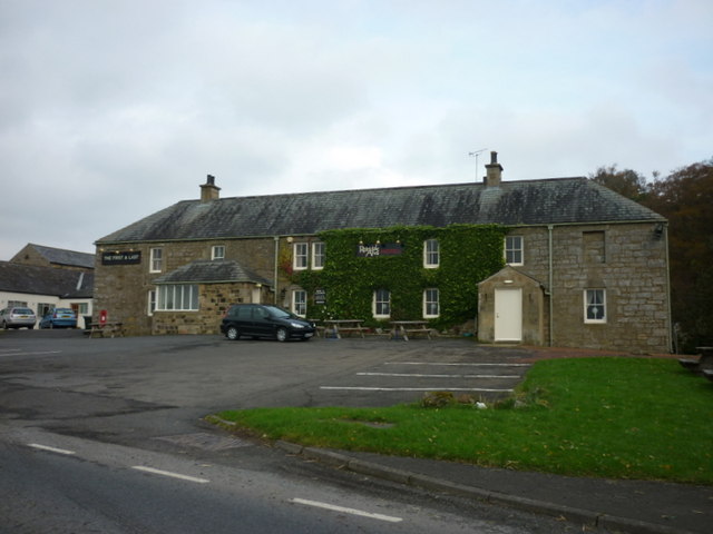
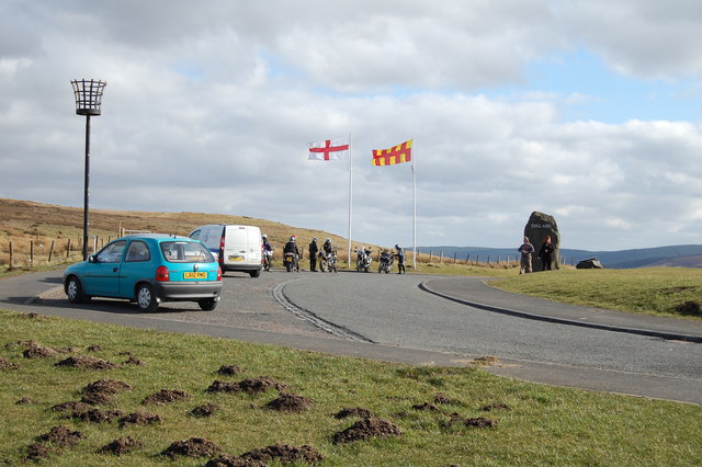
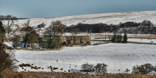
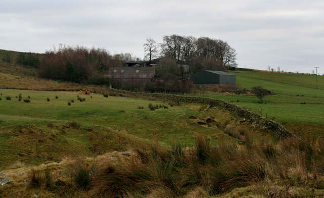
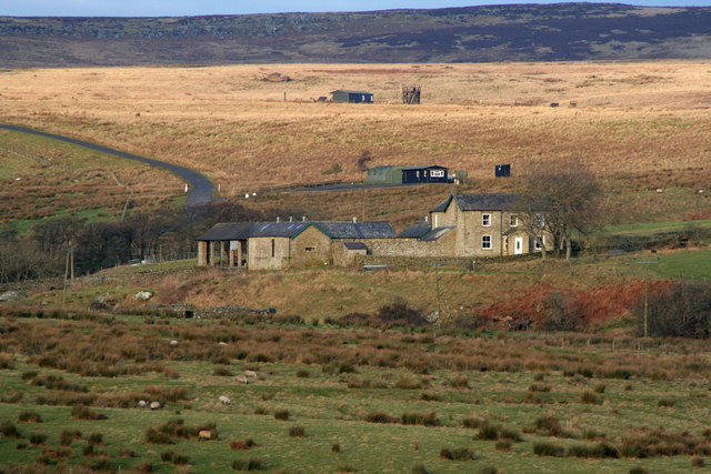
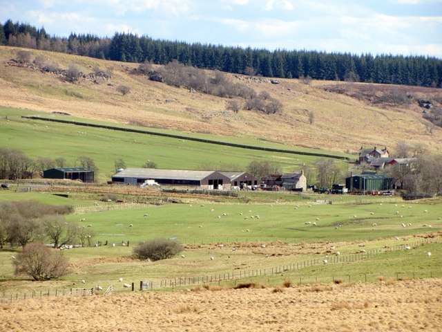
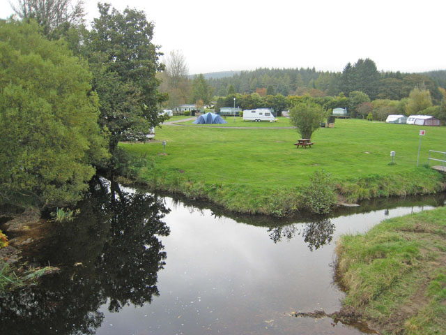
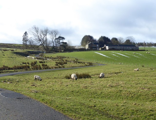
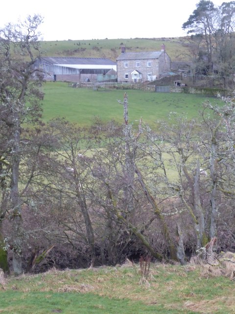
Rochester with Byrness Civil Parish is located in Upper Redesdale in Northumberland, bounded to the north by the England-Scotland Border. It is about 34 miles north-west of Newcastle. The River Rede flows south-easterly through the parish. The A68 road transects the parish, roughly following close to the course of the river; there is a stopping place on the A68 at Carter Bar on the border with Scotland. The south of the parish is in the Northumberland National Park; including Bremenium Roman Fort at High Rochester. Whitelee Moor National Nature Reserve is in the north-west of the parish. The parish is sparsely populated; the largest settlements are the villages of Byrness and Rochester. |
| Settlements: |
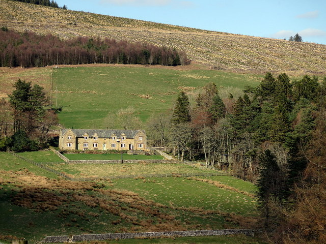
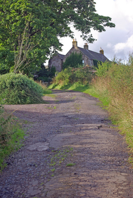
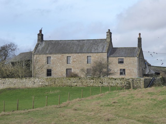
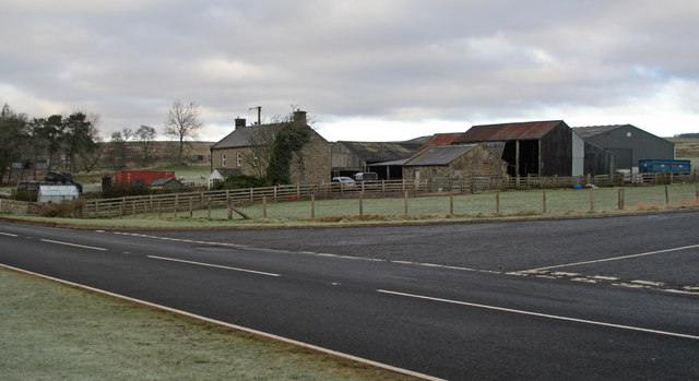
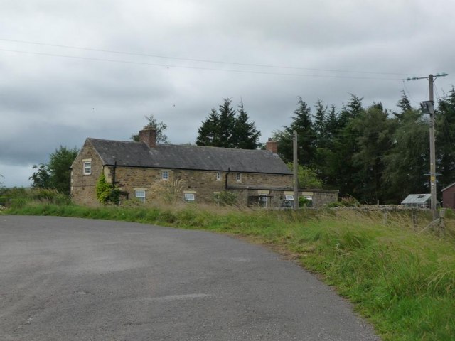
Byrness (village), Rochester (village). There are several farms, hamlets and isolated houses, many of which are off the A68. These include: Ashtrees, Bennetsfield, Blakehopeburnhaugh, Brownrigg, Burdhope, Burdhopecrag, Catcleugh, Chattlehope, Cleughbrae, Cottonshope, Cottonshope Head, Cottonshopeburnfoot, Elishaw, Horsley, Ramshope, Rattenraw, Sills, Silloans, Spithope, Stobbs, and Whitelee |
| Population: |
318 (2021 Census) 344 (2011 Census) 358 (2001 Census) |
| Area: | 179.3 km² |
| Parish Council: | Rochester with Byrness Parish Council |
| Unitary Authority: | Northumberland County Council |
Historical |
|
|
Ancient Townships (in modern CP area) |
Population:
Gazetteers:
Population:
Gazetteers:
Ramshope (extra parochial area)
Townships became civil parishes in their own right in 1866 (see below). Rochester Ward and Troughend Ward were civil parishes from 1866 to 1958, when Rochester Ward CP and most of Troughend Ward CP were merged to become Rochester Civil Parish (aka Rochester and Byrness CP or Rochester with Byrness CP). |
| Ancient Parish: |
Population:
Gazetteers:
The parish covered a much wider geographical area compared to todays Elsdon Civil Parish. Ancient parishes refer to the parishes before the split between ecclesiastical (church) and civil parishes in the 19th century. They had a parish church and often were composed of multiple townships and chapelries. In many cases, townships and parishes were originally based on the territory of manors from the feudal system during medieval times. Civil parishes were created following the Poor Law Amendment Act 1866, in which Church of England parishes, extra-parochial areas, townships and chapelries, became "civil parishes" which could set their own poor rate (tax). Then the reforms of Local Government Act 1894 established elected civil parish councils (or parish meetings for parishes with less than 300 residents) and created urban and rural districts. Boundaries of parishes and civil parishes may have changed over time. |
| Ancient District: |
Tindale (ward) |
| Poor Law Union: |
Bellingham Poor Law Union, formed in 1836. Bellingham Union Workhouse was built in 1839 on the north side of Bellingham, built to house 53 inmates. Under the Poor Law Amendment Act of 1834 parishes were grouped into Unions, each of which had to build a workhouse if they did not already have one. It ended the old system of locally provided poor relief which had come under strain as numbers out of work grew, following increasing mechanisation of agriculture and the economic downturn after the Napoleonic Wars, along with changing social attitudes. The workhouse provided those unable to support themselves financially with accommodation and work. Inmates were generally segregated into men, women, boys and girls. The workhouse system was abolished by the Local Government Act 1929, but many workhouses lived on as ‘Public Assistance Institutions’ until the National Assistance Act 1948. |
|
District Council: |
Bellingham Rural District, formed in 1894. The district was abolished in 1974, following the Local Government Act 1972. Tynedale District Council from 1974 to 2009. Tynedale District merged the former Hexham and Prudhoe urban districts, along with Bellingham, Haltwhistle and Hexham rural districts. The district council was abolished when Northumberland became a unitary authority on the 1st of April 2009. |
|
Major Boundary Changes |
1958 - Rochester CP was created from the merger of Rochester Ward CP and most of Troughesnd CP (the southern part of Troughend CP became part of Otterburn Civil Parish). |
|
County / Unitary Authority |
The ancient county of Northumberland was enlarged following the Counties (Detached Parts) Act 1844; Bedlingtonshire, Norhamshire, Islandshire, the Farne Islands and Monks' House all became part of Northumberland. Up to then they had been enclaves of County Durham. Northumberland County Council formed 1889. Major boundary changes came into effect on the 1st April 1974. This followed the Local Government Act 1972, which formed the non-metropolitan county of Northumberland. This excluded the City of Newcastle upon Tyne and North Tyneside, which up to then had been part of Northumberland, but now became part of the newly formed Tyne & Wear. Northumberland County Council became a unitary authority on the 1st of April 2009. |
See also: ![]() Historic Buildings and Monuments in Rochester & Byrness Civil Parish. Note: listed buildings are generally the responsibility of the county council / unitary authority, rather than the parish council.
Historic Buildings and Monuments in Rochester & Byrness Civil Parish. Note: listed buildings are generally the responsibility of the county council / unitary authority, rather than the parish council.
Co-Curate Page
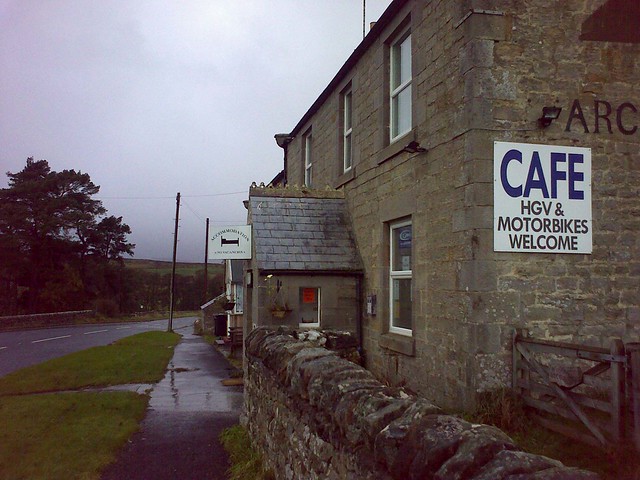
Rochester
- Overview About Rochester Map Street View Rochester is a village in Northumberland, located on the A68 road, about 5 miles north-west of Otterburn and 9½ miles south-east of the border …
Co-Curate Page
Byrness
- Overview About Byrness Map BYRNESS, a chapelry, in the parish of Elsdon, union of Rothbury, S. division of Coquetdale ward, N. division of Northumberland, 13¾ miles (N.N.W.) from Bellingham. This …
Co-Curate Page
Horsley (Otterburn)
- Overview Map Street View The hamlet of Horsley in Redesdale, Northumberland, is located off the A68 road about 4 miles north-west of Otterburn and half mile south-east of Rochester. By Horsley …
Co-Curate Page
Carter Bar
- Overview Map Street View Aerial View Carter Bar is located on the England - Scotland border, at the highpoint of Redesdale in the Cheviot Hills. The A68 road crosses the …
Co-Curate Page
Elishaw, Northumberland
- Overview Map Street View Elishaw is hamlet and farm in Northumberland located near the junction of the A68 and A696 roads. It is located about 2 miles north west of …
Co-Curate Page
Sills, Northumberland
- Overview Map Sills Farm is located about 1½ miles north of Rochester in Northumberland and is situated within the MOD Otterburn Training Area. Whellan's directory of Northumberland for 1855 lists …
Co-Curate Page
Silloans, Northumberland
- Overview Map Silloans Farm is located about 1½ miles north of Rochester in Northumberland and is situated within the MOD Otterburn Training Area. Buildings at Silloans are first recorded in …
Co-Curate Page
Catcleugh, Northumberland
- Overview Map Street View Catcleugh is a hamlet in Northumberland located by the A68, about 40 miles north-west of Newcastle and 1 mile west of the village of Byrness. On …
Co-Curate Page
Spithope, Nothumberland
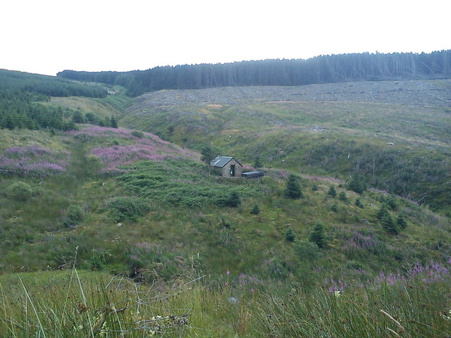
- Spithope (bothy) and Spithopehead (farm) are located to the north of Byrness Village in Northumberland, very close to the boarder with Scotland.
Co-Curate Page
Whitelee (Byrness)
- Overview Map Street View Whitelee is a farm / hamlet in Northumberland, located about 1½ miles south-east of Carter Bar on the England-Scotland border, and 3½ miles north-west of Byrness …

Co-Curate Page
Chattlehope
- Overview Map Chattlehope Farm is located to the south of Catcleugh Reservoir, about 40 miles north-west of Newcastle. The house here was rebuilt in 1901 reusing some of the features …

Co-Curate Page
Blakehopeburnhaugh
- Overview Map Street View Blakehopeburnhaugh is a farm in Redesdale Forest, located about ¼mile south-west of the A68 and 8 miles north-west of Otterburn. The farm is situated by Blakehope …

Co-Curate Page
Rochester Township
- ROCHESTER-WARD, a township, in the parish of Elsdon, union of Bellingham, S. division of Coquetdale ward, N. division of Northumberland, 12 miles (N.) from Bellingham; containing 437 inhabitants. This district …
Co-Curate Page
Troughend Township
- TROUGHEND-WARD, a township, in the parish of Elsdon, union of Bellingham, S. division of Coquetdale ward, N. division of Northumberland, 7¼ miles (N.N.E.) from Bellingham; containing 314 inhabitants. This ward …

from http://www.parish-council.com…
Rochester with Byrness Parish Council
- Website of the Parish Council.
Added by
Simon Cotterill
Co-Curate Page
Ashtrees (Byrness)
- Ashtrees is a farm located to the south of Cleughbrae Burn, about 1½miles south of the village of Rochester in Northumberland. Whellan's 1885 directory of Northumberland lists Ash Trees under …
Co-Curate Page
Stobbs (Byrness)
- Overview Map Stobbs is a farm located on the east banks of the River Rede, about ½mile south-east of the village of Rochester, in Northumberland. There is a minor road …
Co-Curate Page
Bennettsfield
- Overview Map Street View Bennettsfield (aka Bennetsfield, Bennets Field) is a farm in Northumberland, located about 3 miles north-west of Otterburn and 2 miles south-east of the village of Rochester. …

Co-Curate Page
Cottonshope
- Overview Map Street View Cottonshope is a remote farm, located 9 miles north-west of Otterburn and 2 miles north-east of Byrnes. The farm is situated in the valley of Cottonshope …

Co-Curate Page
Cottonshope Head
- Overview Map Street View Cottonshope Head is a remote farm building, located 9½ miles north-west of Otterburn and 3¼ miles north-east of Byrnes. It is situated in the upper valley …
Co-Curate Page
Brownrigg (Rochester and Byrness)
- Overview Map Street View Brownrigg is located by the A68, about 19 miles north of Hexham and 3 miles south-east of the village of Rochester. Brownrigg is listed in the …

Co-Curate Page
Rattenraw
- Overview Map Rattenraw is a farm, located about 2½ miles north-west of Otterburn in Northumberland. It is situated by Rattenraw Burn, shortly before it's confluence with the River Rede. Rattenraw …

Co-Curate Page
Burdhopecrag
- Overview Map Street View Burdhopecrag is a farm located by the A68, about 1 mile north-west of the village of Rochester. It is situated by the junction of the A68 …

Co-Curate Page
Rochester
- Overview About Rochester Map Street View Rochester is a village in Northumberland, located on the A68 road, about 5 miles north-west of Otterburn and 9½ miles south-east of the border …
Co-Curate Page
Byrness
- Overview About Byrness Map BYRNESS, a chapelry, in the parish of Elsdon, union of Rothbury, S. division of Coquetdale ward, N. division of Northumberland, 13¾ miles (N.N.W.) from Bellingham. This …
Co-Curate Page
Horsley (Otterburn)
- Overview Map Street View The hamlet of Horsley in Redesdale, Northumberland, is located off the A68 road about 4 miles north-west of Otterburn and half mile south-east of Rochester. By Horsley …
Co-Curate Page
Carter Bar
- Overview Map Street View Aerial View Carter Bar is located on the England - Scotland border, at the highpoint of Redesdale in the Cheviot Hills. The A68 road crosses the …
Co-Curate Page
Elishaw, Northumberland
- Overview Map Street View Elishaw is hamlet and farm in Northumberland located near the junction of the A68 and A696 roads. It is located about 2 miles north west of …
Co-Curate Page
Sills, Northumberland
- Overview Map Sills Farm is located about 1½ miles north of Rochester in Northumberland and is situated within the MOD Otterburn Training Area. Whellan's directory of Northumberland for 1855 lists …
Co-Curate Page
Silloans, Northumberland
- Overview Map Silloans Farm is located about 1½ miles north of Rochester in Northumberland and is situated within the MOD Otterburn Training Area. Buildings at Silloans are first recorded in …
Co-Curate Page
Catcleugh, Northumberland
- Overview Map Street View Catcleugh is a hamlet in Northumberland located by the A68, about 40 miles north-west of Newcastle and 1 mile west of the village of Byrness. On …
Co-Curate Page
Spithope, Nothumberland
- Spithope (bothy) and Spithopehead (farm) are located to the north of Byrness Village in Northumberland, very close to the boarder with Scotland.
Co-Curate Page
Whitelee (Byrness)
- Overview Map Street View Whitelee is a farm / hamlet in Northumberland, located about 1½ miles south-east of Carter Bar on the England-Scotland border, and 3½ miles north-west of Byrness …
Co-Curate Page
Chattlehope
- Overview Map Chattlehope Farm is located to the south of Catcleugh Reservoir, about 40 miles north-west of Newcastle. The house here was rebuilt in 1901 reusing some of the features …
Co-Curate Page
Blakehopeburnhaugh
- Overview Map Street View Blakehopeburnhaugh is a farm in Redesdale Forest, located about ¼mile south-west of the A68 and 8 miles north-west of Otterburn. The farm is situated by Blakehope …
Co-Curate Page
Rochester Township
- ROCHESTER-WARD, a township, in the parish of Elsdon, union of Bellingham, S. division of Coquetdale ward, N. division of Northumberland, 12 miles (N.) from Bellingham; containing 437 inhabitants. This district …
Co-Curate Page
Troughend Township
- TROUGHEND-WARD, a township, in the parish of Elsdon, union of Bellingham, S. division of Coquetdale ward, N. division of Northumberland, 7¼ miles (N.N.E.) from Bellingham; containing 314 inhabitants. This ward …
from http://www.parish-council.com…
Rochester with Byrness Parish Council
- Website of the Parish Council.
Added by
Simon Cotterill
Co-Curate Page
Ashtrees (Byrness)
- Ashtrees is a farm located to the south of Cleughbrae Burn, about 1½miles south of the village of Rochester in Northumberland. Whellan's 1885 directory of Northumberland lists Ash Trees under …
Co-Curate Page
Stobbs (Byrness)
- Overview Map Stobbs is a farm located on the east banks of the River Rede, about ½mile south-east of the village of Rochester, in Northumberland. There is a minor road …
Co-Curate Page
Bennettsfield
- Overview Map Street View Bennettsfield (aka Bennetsfield, Bennets Field) is a farm in Northumberland, located about 3 miles north-west of Otterburn and 2 miles south-east of the village of Rochester. …
Co-Curate Page
Cottonshope
- Overview Map Street View Cottonshope is a remote farm, located 9 miles north-west of Otterburn and 2 miles north-east of Byrnes. The farm is situated in the valley of Cottonshope …
Co-Curate Page
Cottonshope Head
- Overview Map Street View Cottonshope Head is a remote farm building, located 9½ miles north-west of Otterburn and 3¼ miles north-east of Byrnes. It is situated in the upper valley …
Co-Curate Page
Brownrigg (Rochester and Byrness)
- Overview Map Street View Brownrigg is located by the A68, about 19 miles north of Hexham and 3 miles south-east of the village of Rochester. Brownrigg is listed in the …
Co-Curate Page
Rattenraw
- Overview Map Rattenraw is a farm, located about 2½ miles north-west of Otterburn in Northumberland. It is situated by Rattenraw Burn, shortly before it's confluence with the River Rede. Rattenraw …


