Topics > Geography > Rivers > River Leven (North Yorkshire)
River Leven (North Yorkshire)
The River Leven is a tributary to the River Tees. It rises on Warren Moor near Kildale in the North Yorkshire and takes a meandering course to join the River Tees at Yarm.
The River Leven is a river in North Yorkshire, England, a tributary to the River Tees. It rises on Warren Moor, part of Kildale Moor, in the North York Moors and flows to the north of the moors to join the River Tees at Yarm.
Course
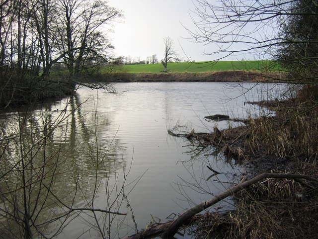
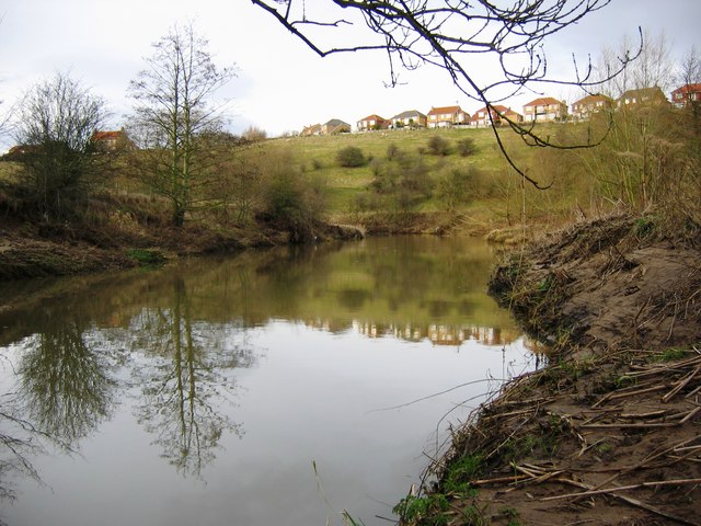
The source of the river is on Warren Moor, part of Kildale Moor, just south of the village of Kildale. It flows east until it reaches the Whitby to Middlesbrough rail line where it does a complete turnaround to flow west to Kildale. It then flows south-south-west through woodland to the confluence with Dundale Beck where it turns north-west through Low Easby and Little Ayton, before turning west and then south-west at Great Ayton. It runs parallel to the A173 to Stokesley. The river becomes increasingly meandering as it continues south-west past Skutterskelfe to Hutton Rudby and Rudby, where it turns north-west and then west again over Slape Stones waterfall. At Crathorne it turns north and then north-east as far as Middleton-on-Leven before passing under the A19 in a north-west direction. The final couple of miles are north and north-west between Ingleby Barwick and Yarm, before the river joins the River Tees.
Geology
The river drains from the Cleveland Hills across a mixed geology of mostly Permian and Jurassic age bedrock of low permeability. Most of the deposits on top of the bedrock are boulder clay. There is mixed agriculture, with some moorland and forestry near the source.
Natural history
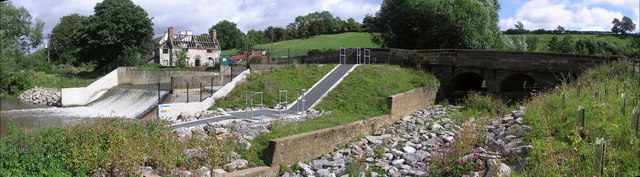
Due to a weir on the lower river built during the Industrial Revolution, migratory and territorial fish and mammals had been missing from the river. In 2007, the Environment Agency built a fish bypass at the weir and in 2011, was able to announce the return of spawning salmon to the river for the first time in 150 years.
History
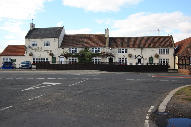
In Stokesley, the river is crossed by a 17th-century packhorse bridge, Taylorson's Bridge, which was once the only crossing into the town. The Domesday Book records the existence of a water mill on the banks of the river in the town. In Hutton Rudby there is a plaque on a bridge that marks the spot of a water mill that, amongst several uses, once made sailcloth.
Lists
Tributaries
- Lonsdale Beck
- Dundale Beck
- Otter Hills Beck
- Main Stell
- Ings Beck
- Eller Beck
- West Beck
- River Tame
- Grange Beck
- Alum Beck
- Carr Stell
- Coul Beck
- Hundale Gill
- Magpie Gill
- Fanny Bell's Gill
- East Gil
Settlements
- Kildale
- Low Easby
- Little Ayton
- Great Ayton
- Stokesley
- Skutterskelfe
- Rudby
- Hutton Rudby
- Crathorne
- Middleton-on-Leven
- Low Leven
- Ingleby Barwick
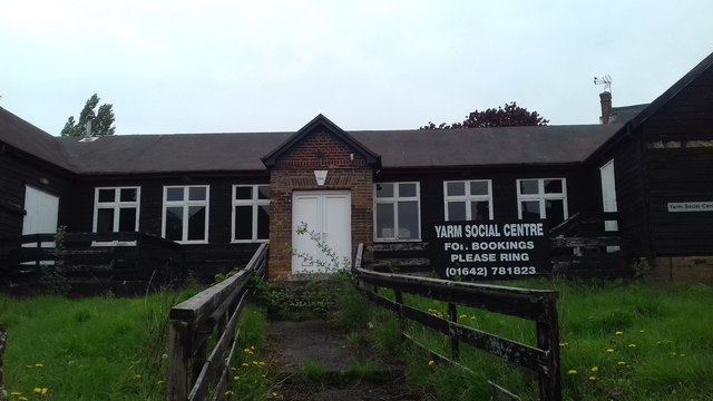
- Yarm
Crossings
- Petlar's Bridge, near Kildale
- Unnamed road, near Kildale
- Whitby to Middlesbrough Railway Line
- Unnamed road north of Kildale
- Whitby to Middlesbrough Railway Line
- Unnamed road north of Easby
- Cross Lane, Little Ayton
- Holmes bridge, Little Ayton (foot)
- Holly Garth, Great Ayton
- A173, Levenside, Great Ayton
- A172, Stokesley
- B1257, Stokesley Bridge
- Manor Close/Levenside, Stokesley (ford)
- Malvern Drive, Stokesley
- B1365, Bense Bridge, Stokesley
- Hutton Bridge, Hutton Rudby
- Crathorne Mill Bridge, Crathorne
- Foxton bridge near Middleton-on-Leven
- A19 near Middleton-on-Leven
- A1044, Leven Bridge, Low Leven
Visit the page: River Leven, North Yorkshire for references and further details. You can contribute to this article on Wikipedia.
Co-Curate Page
Ingleby Barwick
- Overview About Ingleby Barwick Map Street View Ingleby Barwick is in the ceremonial county of North Yorkshire, but part of the unitary authority of Stockton-on-Tees, with close links to Teesside and …
Co-Curate Page
High Leven
- Overview About High Leven Map Street View High Leven is a village adjacent to Ingleby Barwick in the borough of Stockton-on-Tees. It is under half a mile north east of …
Co-Curate Page
River Tees
- Overview Bridges Further Information The Tees is one of the major rivers in the North of England. It rises on Cross Fell in the North Pennines, and flows 137 km …
Co-Curate Page
Leven Bridge
- Overview Map Street View Leven Bridge carries the A1044 road over the River Leven, near High Leven and Ingleby Barwick. The bridge was built in the early 19th Century and …

Co-Curate Page
Ingleby Barwick
- Overview About Ingleby Barwick Map Street View Ingleby Barwick is in the ceremonial county of North Yorkshire, but part of the unitary authority of Stockton-on-Tees, with close links to Teesside and …
Co-Curate Page
High Leven
- Overview About High Leven Map Street View High Leven is a village adjacent to Ingleby Barwick in the borough of Stockton-on-Tees. It is under half a mile north east of …
Co-Curate Page
River Tees
- Overview Bridges Further Information The Tees is one of the major rivers in the North of England. It rises on Cross Fell in the North Pennines, and flows 137 km …