Topics > Geography > Rivers > River Browney > Pan Burn (stream)
Pan Burn (stream)
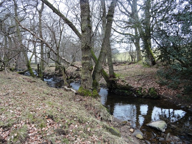
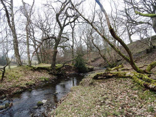
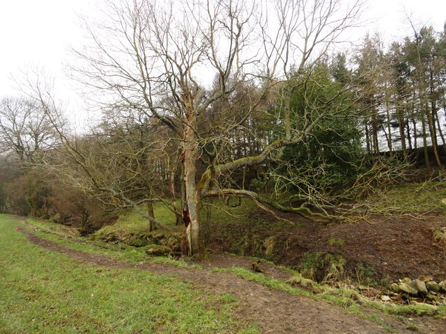
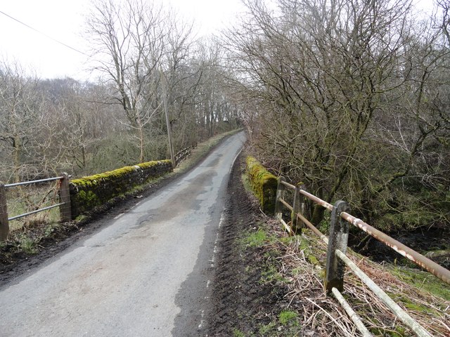
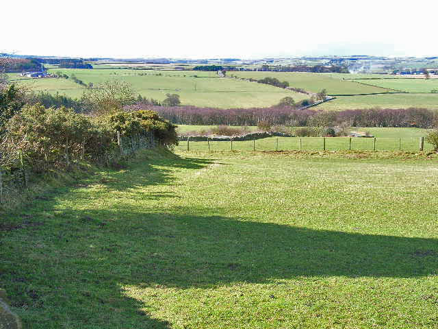
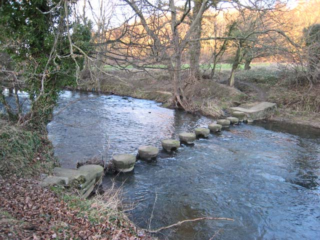
Pan Burn is a stream in County Durham, which is a tributary of the River Browney. The burn is 6 km long and has a catchment area of 11.7 km2.[1]


from http://environment.data.gov.u…
Pan Burn Catchment (Trib of River Browney)
Added by
Simon Cotterill
Co-Curate Page
River Browney
- Overview About The River Browney The Browney is a river in County Durham and is the largest tributary of the River Wear. It arises from a spring on Skaylock Hill, …

from http://environment.data.gov.u…
Pan Burn Catchment (Trib of River Browney)
Added by
Simon Cotterill
Co-Curate Page
River Browney
- Overview About The River Browney The Browney is a river in County Durham and is the largest tributary of the River Wear. It arises from a spring on Skaylock Hill, …


Grid ref:
NZ1310742966


