Topics > Geography > Rivers > River Blyth > Duddo Burn
Duddo Burn
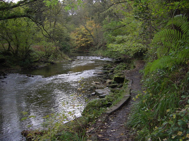
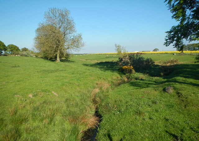
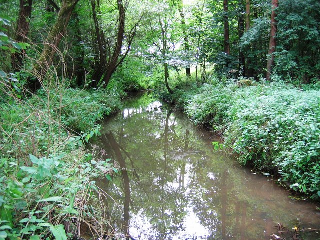
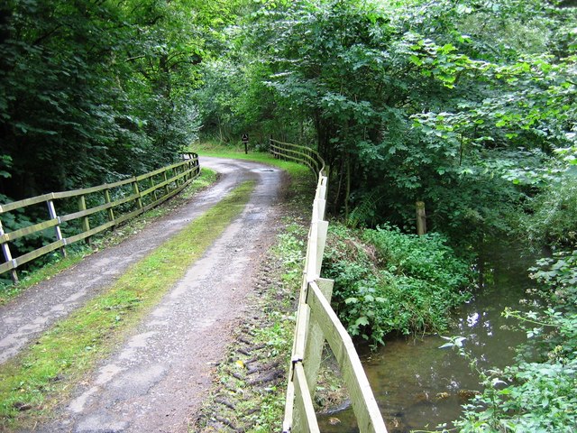
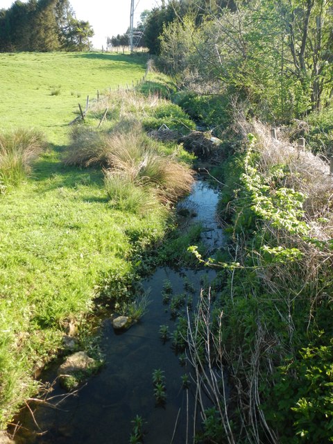
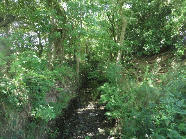
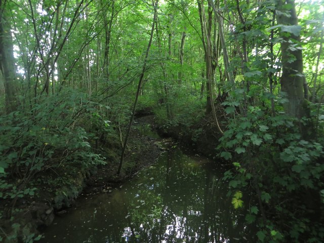
A tributary of the River Blyth in Northumberland. The burn is 5.2 km long, with a catchment area of 11.4 km2.[1]

from https://environment.data.gov.…
Duddo Burn from Source to Blyth Water Body
Added by
Simon Cotterill
Co-Curate Page
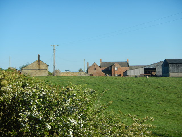
Middle Duddo
- Overview Map Street View Middle Duddo is a farm in Northumberland, located about 2 miles east of the village of Stannington. It is situated near Duddo Burn. There was once a …
Co-Curate Page
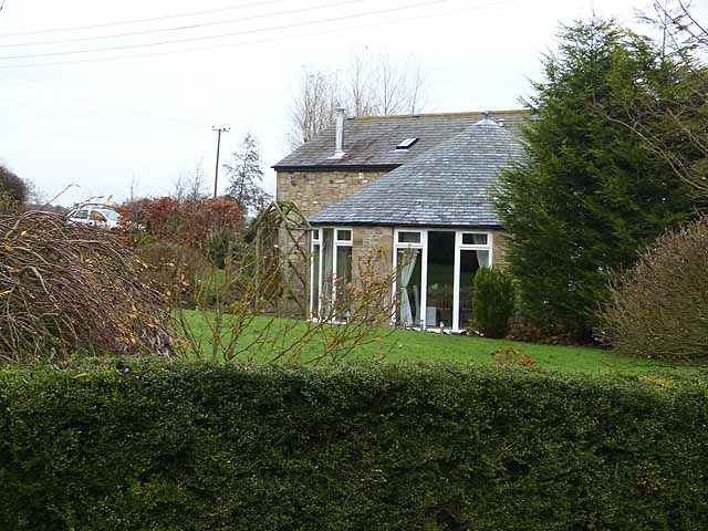
West Duddo
- Overview Map Street View West Duddo is a hamlet in Northumberland, located about 2 miles east of the village of Stannington. It is situated near Duddo Burn. One of the …

from https://environment.data.gov.…
Duddo Burn from Source to Blyth Water Body
Added by
Simon Cotterill
Co-Curate Page
Middle Duddo
- Overview Map Street View Middle Duddo is a farm in Northumberland, located about 2 miles east of the village of Stannington. It is situated near Duddo Burn. There was once a …