Topics > Northumberland > Civil Parishes in Northumberland > Plenmeller with Whitfield Civil Parish
Plenmeller with Whitfield Civil Parish
Area: 70.9 km²
Population:
220 (2021 Census)
243 (2011 Census)
237 (2001 Census)
Co-Curate Page
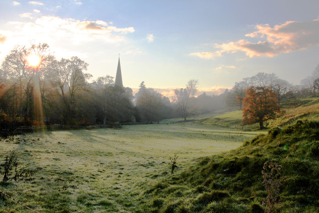
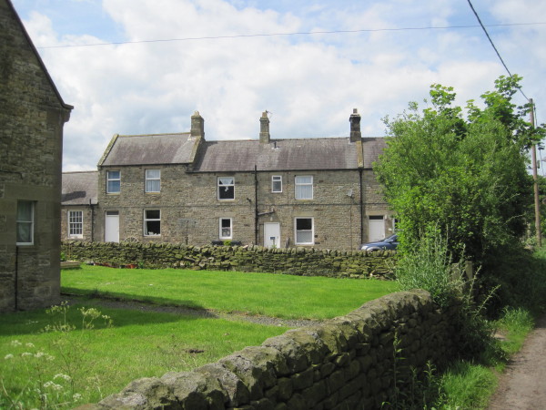
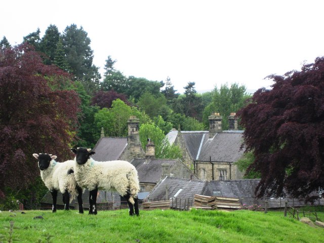
Whitfield
- Overview About Whitfield Map Street View Whitfield is a village in Northumberland located close to the River West Allen Whitfield is a village in the county of Northumberland, England about …
Co-Curate Page
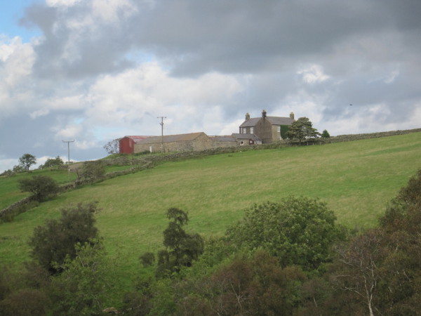
Low Ramshaw
- Overview Map Low Ramshaw is a farm/hamlet in Northumberland, located just over 2 miles south of Haltwhistle. It is in a remote location below Ramshaw Fell on Plenmeller Common. Historically …
Co-Curate Page
Bearsbridge
- Overview Map Street View Bearsbridge is a village in Northumberland located by the River West Allen, near Cupola Bridge of 1778. It is close to Whitfield.

Co-Curate Page
Whitfield Parish, 1848
- WHITFIELD, a parish, in the union of Haltwhistle, W. division of Tindale ward, S. division of Northumberland, 15 miles (W.S.W.) from Hexham; containing 333 inhabitants. This place was for six …
Co-Curate Page
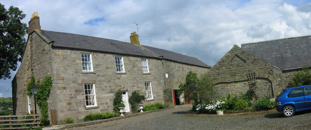
Plenmeller
- Overview About Plenmeller Map Street View Plenmeller (aka Plainmellor) is a settlement near the north banks of the River South Tyne, south of Haltwistle. Historically, Plenmeller was a township within …

from https://keystothepast.info/se…
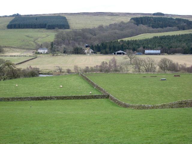
Local History Plenmeller with Whitfield
- "Plenmeller with Whitfield parish lies in south Northumberland, in the North Pennines Area of Outstanding Natural Beauty, on the boundary with Cumbria. Much of the parish is a high moorland …
Added by
Simon Cotterill
Co-Curate Page
Ouston, West Allen Dale
- Ouston is a hamlet in West Allen Dale in Northumberland. It is within the civil parish of Plenmeller with Whitfield. There was a village at Ouston, first recorded in 1279, but it …
Co-Curate Page
East Unthank
- Overview Map East Unthank is a farm, situated near the south banks of the River South Tyne. It is located on Unthank Road, about ½ mile east of Unthank Hall …
Co-Curate Page
West Unthank
- Overview Map West Unthank is a farm, situated on the south banks of the River South Tyne. It is located off Unthank Road, about ½ mile north-west of Unthank Hall, …
Co-Curate Page
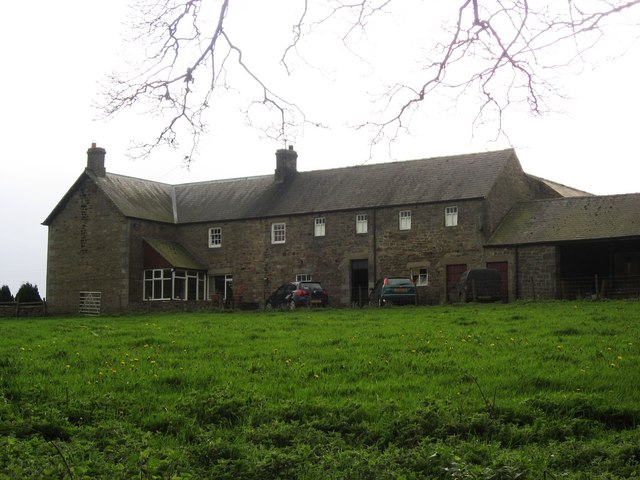
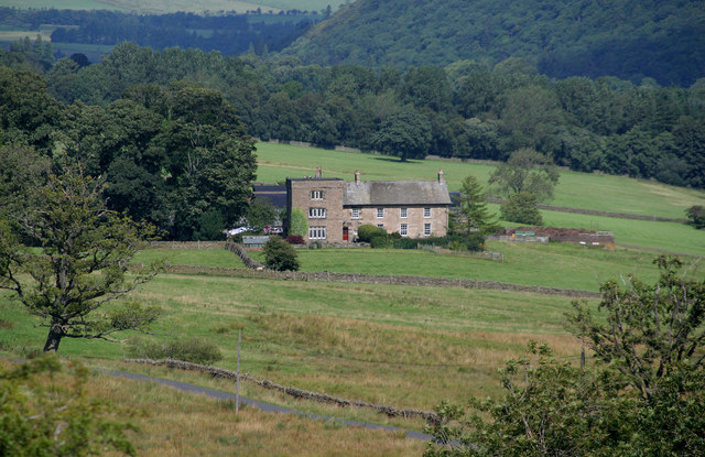
Unthank Hall, nr Plenmeller
- Overview Map Street View Unthank is located on the south banks of the River South Tyne, south-west of Haltwhistle. Unthank is the site of a deserted medieval village[1] and the …
Co-Curate Page
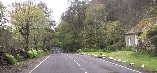
Burnmouth, Whitfield
- Overview Map Street View Burnmouth is located on the A686 road about 3 miles south-west of Langley and 1 mile north-east of Beasbridge. It is situated at the mouth of …
Co-Curate Page
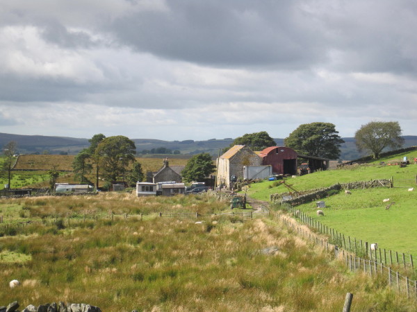
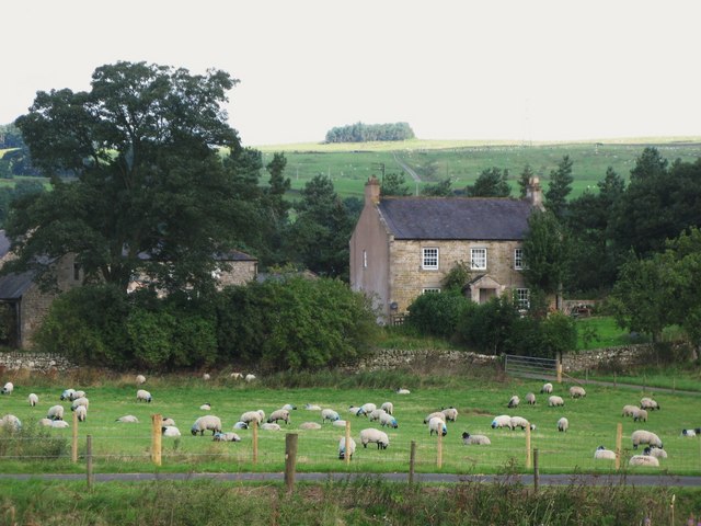
Shankfoot
- Overview Map Shankfoot is a farm in Northumberland, located at the eastern end of Unthank Road. It is situated by Howden Burn, close to it's confluence with the River South …

Co-Curate Page
Whitfield
- Overview About Whitfield Map Street View Whitfield is a village in Northumberland located close to the River West Allen Whitfield is a village in the county of Northumberland, England about …
Co-Curate Page
Low Ramshaw
- Overview Map Low Ramshaw is a farm/hamlet in Northumberland, located just over 2 miles south of Haltwhistle. It is in a remote location below Ramshaw Fell on Plenmeller Common. Historically …
Co-Curate Page
Bearsbridge
- Overview Map Street View Bearsbridge is a village in Northumberland located by the River West Allen, near Cupola Bridge of 1778. It is close to Whitfield.
Co-Curate Page
Whitfield Parish, 1848
- WHITFIELD, a parish, in the union of Haltwhistle, W. division of Tindale ward, S. division of Northumberland, 15 miles (W.S.W.) from Hexham; containing 333 inhabitants. This place was for six …
Co-Curate Page
Plenmeller
- Overview About Plenmeller Map Street View Plenmeller (aka Plainmellor) is a settlement near the north banks of the River South Tyne, south of Haltwistle. Historically, Plenmeller was a township within …
from https://keystothepast.info/se…
Local History Plenmeller with Whitfield
- "Plenmeller with Whitfield parish lies in south Northumberland, in the North Pennines Area of Outstanding Natural Beauty, on the boundary with Cumbria. Much of the parish is a high moorland …
Added by
Simon Cotterill
Co-Curate Page
Ouston, West Allen Dale
- Ouston is a hamlet in West Allen Dale in Northumberland. It is within the civil parish of Plenmeller with Whitfield. There was a village at Ouston, first recorded in 1279, but it …
Co-Curate Page
East Unthank
- Overview Map East Unthank is a farm, situated near the south banks of the River South Tyne. It is located on Unthank Road, about ½ mile east of Unthank Hall …
Co-Curate Page
West Unthank
- Overview Map West Unthank is a farm, situated on the south banks of the River South Tyne. It is located off Unthank Road, about ½ mile north-west of Unthank Hall, …
Co-Curate Page
Unthank Hall, nr Plenmeller
- Overview Map Street View Unthank is located on the south banks of the River South Tyne, south-west of Haltwhistle. Unthank is the site of a deserted medieval village[1] and the …
Co-Curate Page
Burnmouth, Whitfield
- Overview Map Street View Burnmouth is located on the A686 road about 3 miles south-west of Langley and 1 mile north-east of Beasbridge. It is situated at the mouth of …

")

