Topics > Tees Valley > Middlesbrough > Nunthorpe
Nunthorpe
The history of Nunthorpe can be traced back to before the Domesday Book of 1086. The village was named “Thorpe”, or “Torp” (words meaning settlement) in the Domesday Book and described as a thriving settlement, Nunthorpe consisted of an estimated 1,080 acres of land. Towards the end of the 12th century a group of Cistercians nuns, allegedly evicted from nearby Hutton Lowcross for rowdy behaviour, were resettled at Thorpe having been given some land there belonging to Whitby Abbey, on which they built a priory and mill. The nuns only stayed at Thorpe a few years, but their short stay resulted in Thorpe being renamed Nunthorpe. During the following centuries, Nunthorpe remained an agricultural community closely linked to the market towns of Stokesley and Ayton. The Industrial Revolution had very little impact on its agricultural economy.
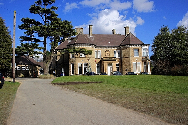
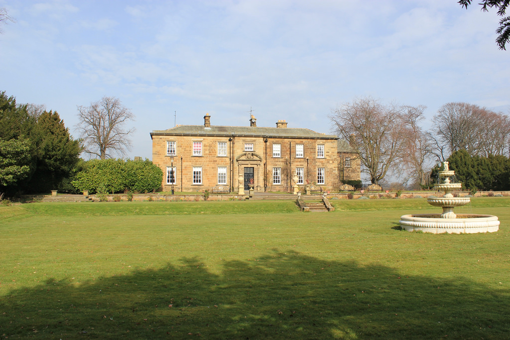
Nunthorpe Hall
Nunthorpe Hall is the ancient manor house in Nunthorpe village. It was built in 1623, and largely rebuilt and extended in around 1800 and altered again in the mid-1800s. The entrance porch and was added in 1901. The building was converted into a retirement home for the elderly in 1951. The main building is of dressed sandstone, with Lakeland slate roofs, with stone ridge copings. It became a Grade II, listed building, in 1952.
Victorian era
The census of 1811 shows Nunthorpe to have had a population of 128, living either in the village of Nunthorpe or on nearby farms. Nunthorpe was at that time registered as being in the North Riding of York, in the Parish of Great Ayton. Its economy was all related to agriculture and farming.
The rapid growth of Middlesbrough from a population of 35, in 1811, to a population of 91,302, in 1901 appeared to have had little effect on Nunthorpe, which kept its agricultural throughout the 19th century. Nunthorpe's population in comparison only reaching 198 persons by 1901.
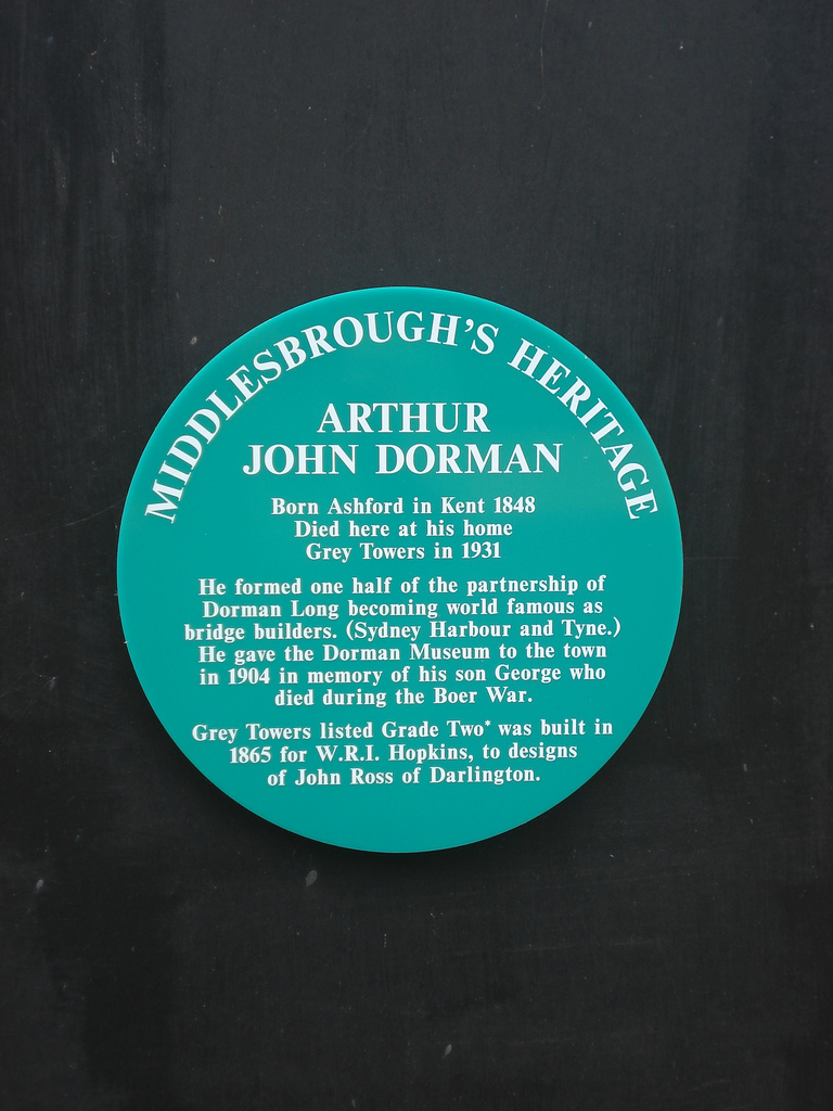
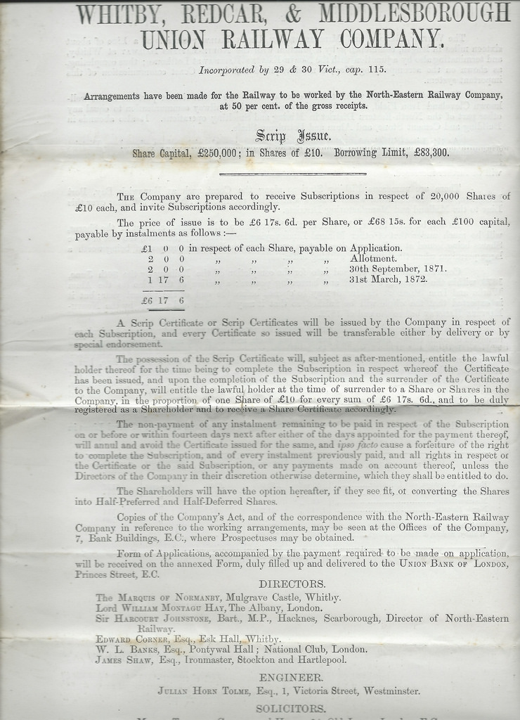
In 1853, Middlesbrough to Guisborough Railway line opened, with a station at Nunthorpe and passenger services the following year. Several important Middlesbrough industrialists chose Nunthorpe as their home and contributed to the development of the village. These men included Isaac Wilson, ironmaster, Mayor of Middlesbrough and later Liberal MP, John Swan, ironmaster, William Hopkins, ironmaster and mayor of Middlesbrough and Sir Arthur Dorman, ironmaster.
20th century
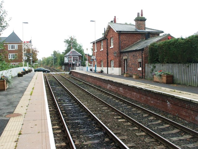
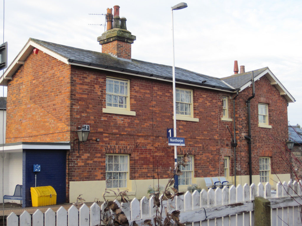
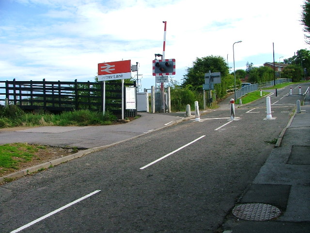
Nunthorpe Station
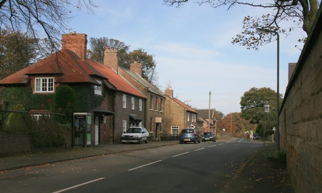
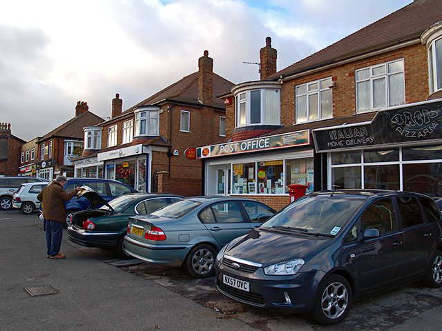
The settlement that is known as Nunthorpe today is that which grew up around the railway station. Nunthorpe village is situated about to the south of the main suburban area. In the early 20th Century, Sir Arthur Dorman planned and built a new small suburb around the railway station for his workers He imposed several covenants on the building: - shops were not permitted, public houses were also not allowed, the houses had to have slate roofs and were not permitted to have house numbers. The layout included tree-lined roads, with spaciouse houses, each with a garden built in terraces. The houses were certainly an improvement on the small workers’ houses built in Middlesbrough. By 1912, about 60 houses had been built around the station area of Nunthorpe.
1950s to the present
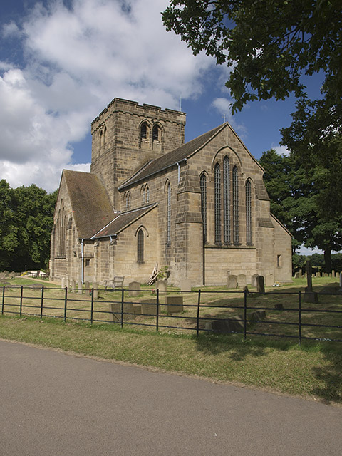
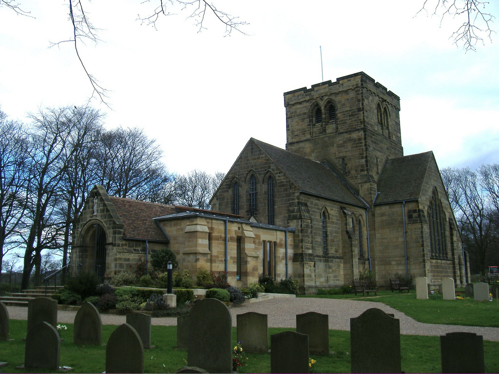
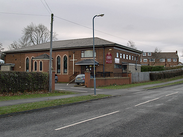
New housing estates, schools and churches were built during the late 1950s, 1960s and 1970s.. The historical development of Nunthorpe initially started with the building of generously sized houses in generous gardens. This has given Nunthorpe its continued heritage with an open and spacious character.
from Flickr (flickr)
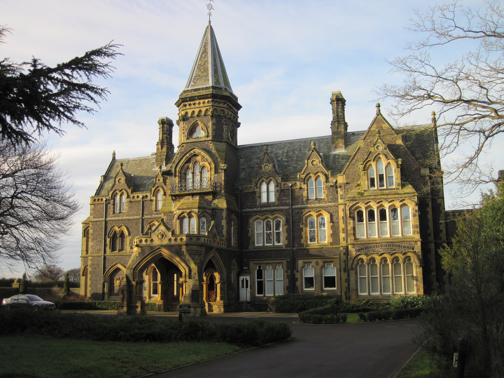
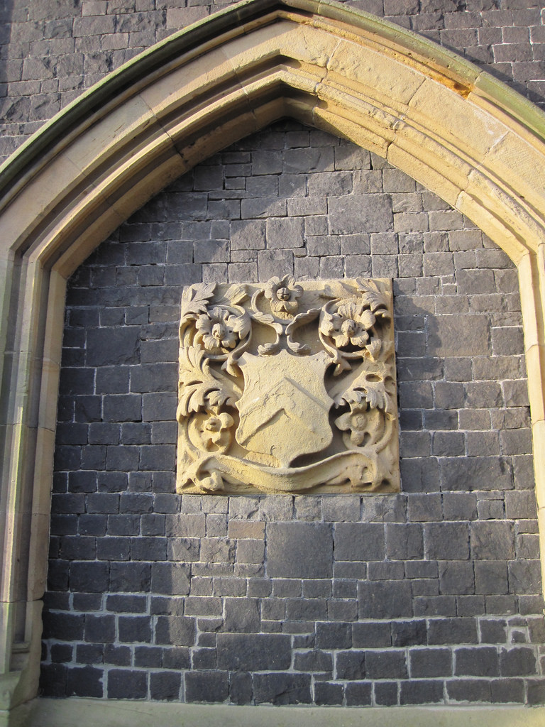
Middlesbrough Heritage plaque - Grey Towers, Nunthorpe, Middlesbrough.
Pinned by Pat Thomson

from Flickr (flickr)
Whitby, Redcar & Middlesborough Union Railway Prospectus 1871
Pinned by Pat Thomson

from http://www.nunthorpehistorygr…
Nunthorpe History Group
- "Preserving the heritage of Nunthorpe and Nunthorpe Village"
Added by
Simon Cotterill

from http://www.middlesbrough.gov.…
Nunthorpe & Poole Conservation Area
- CONSERVATION AREA APPRAISAL
AND MANAGEMENT PLAN
June 2008
Added by
Simon Cotterill

from Flickr (flickr)
Middlesbrough Heritage plaque - Grey Towers, Nunthorpe, Middlesbrough.
Pinned by Pat Thomson
from Flickr (flickr)
Whitby, Redcar & Middlesborough Union Railway Prospectus 1871
Pinned by Pat Thomson
from http://www.nunthorpehistorygr…
Nunthorpe History Group
- "Preserving the heritage of Nunthorpe and Nunthorpe Village"
Added by
Simon Cotterill
from http://www.middlesbrough.gov.…
Nunthorpe & Poole Conservation Area
- CONSERVATION AREA APPRAISAL
AND MANAGEMENT PLAN
June 2008
Added by
Simon Cotterill