Topics > Northumberland > Civil Parishes in Northumberland > Netherwitton Civil Parish
Netherwitton Civil Parish
Area: 38.0 km²
Population:
281 (2021 Census)
276 (2011 Census)
272 (2001 Census)
Co-Curate Page
Netherwitton
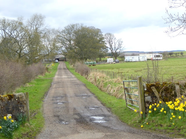
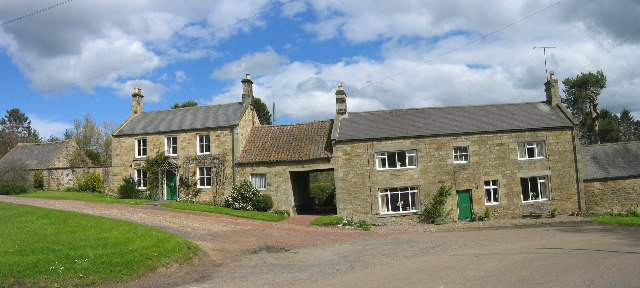
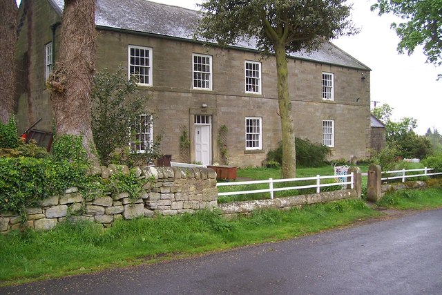
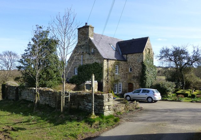
- Overview About Netherwitton Map Street View Netherwitton is a village in Northumberland, England about 8 miles west of Morpeth. A former cotton-mill now converted into residential housing, the old …
Co-Curate Page
Longwitton
- Overview Map Street View Longwitton (somtimes known as Long Witton) is a distributed hamlet in Northumberland, located about 8 miles north-west of Morpeth. Long Witton was the site of a …
from https://northumberlandparishe…
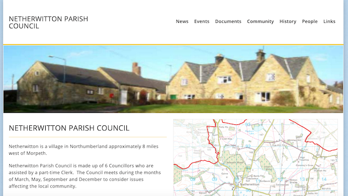
Netherwitton Parish Council
- Official Website of Netherwitton Parish Council.
Added by
Simon Cotterill
Co-Curate Page
Stanton
- Overview About Stanton Map Street View STANTON, a township, in the parish of Long Horsley, union, and W. division of the ward, of Morpeth, N. division of Northumberland, 6 miles …
Co-Curate Page
Witton Shields
- Overview Map Witton Shields is a farm and hamlet in Northumberland. It is located just over half a mile west of the larer hamlet of Stanton and is today part …

Co-Curate Page
Netherwitton
- Overview About Netherwitton Map Street View Netherwitton is a village in Northumberland, England about 8 miles west of Morpeth. A former cotton-mill now converted into residential housing, the old …
Co-Curate Page
Longwitton
- Overview Map Street View Longwitton (somtimes known as Long Witton) is a distributed hamlet in Northumberland, located about 8 miles north-west of Morpeth. Long Witton was the site of a …
from https://northumberlandparishe…
Netherwitton Parish Council
- Official Website of Netherwitton Parish Council.
Added by
Simon Cotterill
Co-Curate Page
Stanton
- Overview About Stanton Map Street View STANTON, a township, in the parish of Long Horsley, union, and W. division of the ward, of Morpeth, N. division of Northumberland, 6 miles …