Topics > Cumbria > Nenthead > Killhope Cross, near Nenthead
Killhope Cross, near Nenthead
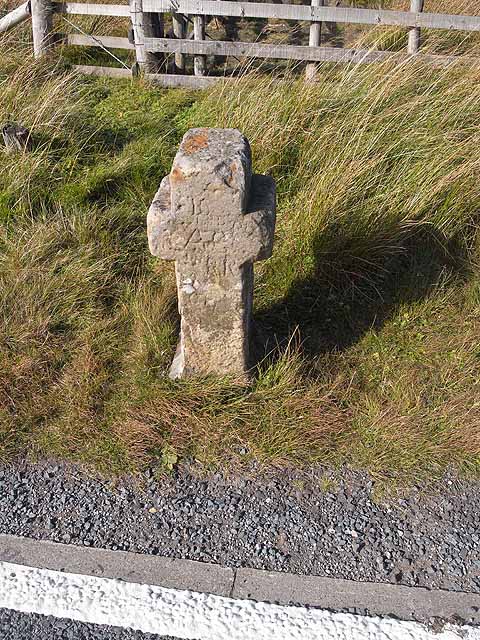
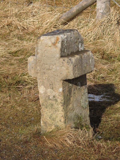
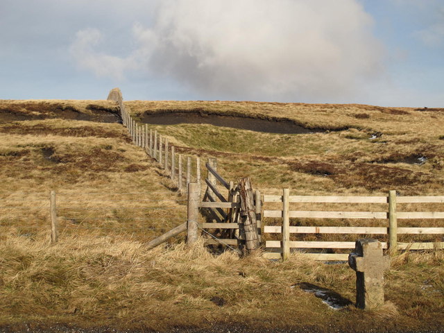
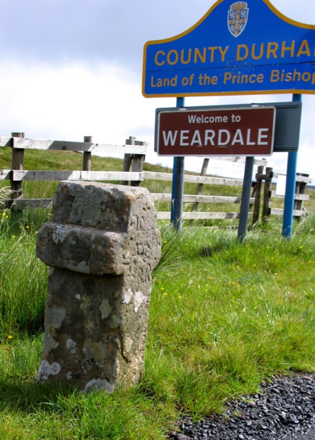
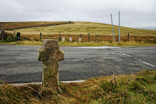
Killhope Cross is a small roadside cross, thought to be of medieval origins, located by the A689 on the county border between Cumbria and County Durham, roughly 1 mile east of Nenthead and 1½ miles west of the Killhope Lead Mining Museum. The carved stone cross is positioned at the summit of the highest A road in England (627 metres above sea level)[1] and was moved to its present site in the 18th century.[2] Killhope Cross is Grade II listed on the National Heritage List for England.

from https://historicengland.org.u…
KILLHOPE CROSS - Nenthead - List Entry
- "Boundary marker of uncertain date but possibly medieval; moved to its present site in C18. Single stone, c3 ft high, in form of Latin cross; stands on square base bearing …
Added by
Simon Cotterill

from https://historicengland.org.u…
KILLHOPE CROSS - Nenthead - List Entry
- "Boundary marker of uncertain date but possibly medieval; moved to its present site in C18. Single stone, c3 ft high, in form of Latin cross; stands on square base bearing …
Added by
Simon Cotterill