Topics > Civil Parishes in Cumbria > Millom Town Council Area > Millom Parish, 1848
Millom Parish, 1848
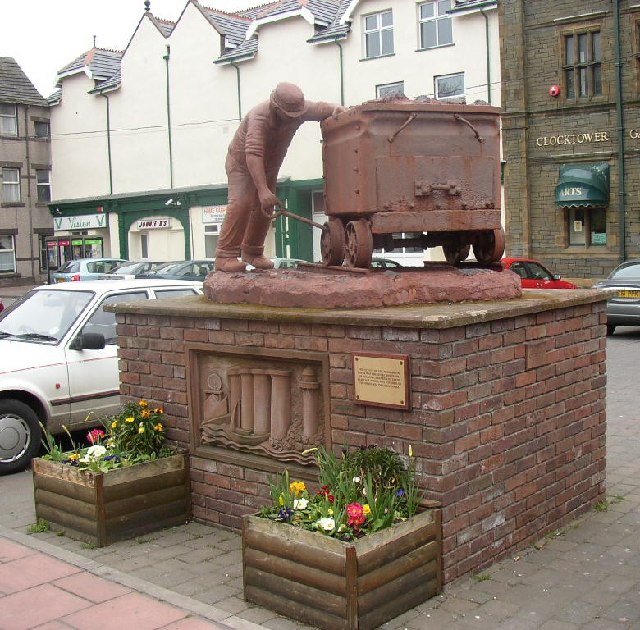
MILLOM (Holy Trinity), a parish, in the union of Bootle, Allerdale ward above Derwent, W. division of Cumberland; comprising the chapelries of Thwaites and Ulpha, and the townships of Birker with Austhwaite, Chapel-Sucken, and the Farm of Stainton; and containing 1,979 inhabitants, of whom 411 are in the township of Lower Millom, and 511 in that of Upper Millom, 12 miles (S.E. by S.) from Ravenglass. The parish is bounded on the west and south by the Irish Sea, and on the east by the river Duddon, which forms a bay, famous for cockles and muscles, and abounding with salmon and sand-eels. The mineral productions are limestone, slate, and iron and copper ore; the limestone is found in quantities sufficient to be worked with advantage. The Whitehaven and Furness railway runs through the parish, and crosses the Duddon sands by an embankment and timber viaduct. A market and a fair were granted in the reign of Henry III., but they have been long disused. The living is a discharged vicarage, valued in the king's books at £8. 5. 8., and in the patronage of the Crown, in right of the duchy of Lancaster; net income, £189; impropriator, the Earl of Lonsdale. The church, an ancient structure, contains a tablet to the memory of the Huddlestone family. At Thwaites and Ulpha are separate incumbencies. Here are the remains of Millom Castle, the ancient seat of the lords of Millom. In Upper Millom are several springs, called Holy wells, impregnated with purgative salt.
Extract from: A Topographical Dictionary of England comprising the several counties, cities, boroughs, corporate and market towns, parishes, and townships..... 7th Edition, by Samuel Lewis, London, 1848.
Co-Curate Page
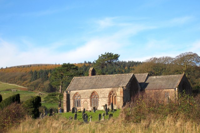
Thwaites
- Overview Map THWAITES, a chapelry, in the parish of Millom, union of Bootle, Allerdale ward above Derwent, W. division of Cumberland, 10 miles (S.E.) from Ravenglass; containing 356 inhabitants. The …

Co-Curate Page
Birker with Austhwaite Township, 1848
- BIRKER, with Austhwaite, a township, in the parish of Millom, union of Bootle, Allerdale ward above Derwent, W. division of Cumberland, 7½ miles (E. by N.) from Ravenglass; containing 105 …
Co-Curate Page
Ulpha
- Overview Map Street View ULPHA, a chapelry, in the parish of Millom, union of Bootle, Allerdale ward above Derwent, W. division of Cumberland, 9 miles (E. by S.) from Ravenglass; …

Co-Curate Page
Chapel Sucken
- Chapel Sucken was a township in the old county of Cumberland - but the place name does not appear on modern maps. CHAPEL-SUCKEN, a township, in the parish of Millom, …
Co-Curate Page
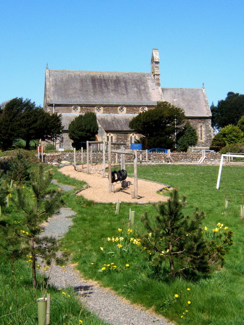
Church of the Holy Trinity
- Overview About Holy Trinity Church Map Street View Holy Trinity Church is located next to Millom Castle, about half a mile north of Millom town centre. The earliest parts of …
Co-Curate Page
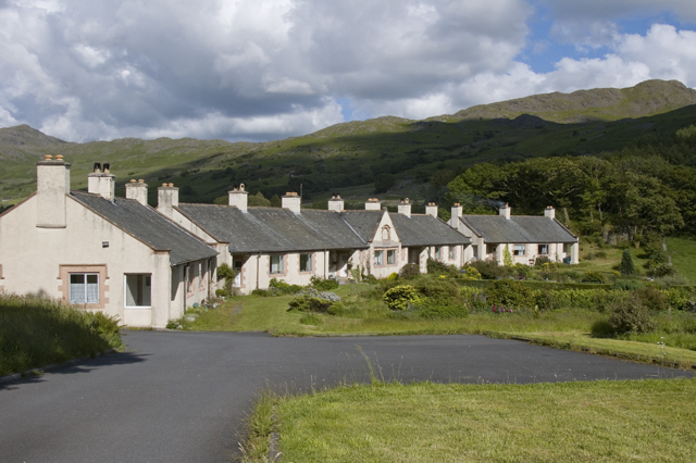
Millom
- Overview About Millom Map Street View Help build the Millom Timeline Millom is a town and civil parish on the north shore of the estuary of the River Duddon around …

Co-Curate Page
Thwaites
- Overview Map THWAITES, a chapelry, in the parish of Millom, union of Bootle, Allerdale ward above Derwent, W. division of Cumberland, 10 miles (S.E.) from Ravenglass; containing 356 inhabitants. The …
Co-Curate Page
Birker with Austhwaite Township, 1848
- BIRKER, with Austhwaite, a township, in the parish of Millom, union of Bootle, Allerdale ward above Derwent, W. division of Cumberland, 7½ miles (E. by N.) from Ravenglass; containing 105 …
Co-Curate Page
Ulpha
- Overview Map Street View ULPHA, a chapelry, in the parish of Millom, union of Bootle, Allerdale ward above Derwent, W. division of Cumberland, 9 miles (E. by S.) from Ravenglass; …
Co-Curate Page
Chapel Sucken
- Chapel Sucken was a township in the old county of Cumberland - but the place name does not appear on modern maps. CHAPEL-SUCKEN, a township, in the parish of Millom, …
Co-Curate Page
Church of the Holy Trinity
- Overview About Holy Trinity Church Map Street View Holy Trinity Church is located next to Millom Castle, about half a mile north of Millom town centre. The earliest parts of …


