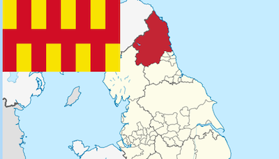
Topics > Northumberland > Civil Parishes in Northumberland > Thirlwall Civil Parish > Historic Buildings and Monuments in Thirlwall Civil Parish
Historic Buildings and Monuments in Thirlwall Civil Parish
Listed buildings and scheduled monuments in Thirlwall Civil Parish, Northumberland, from the National Heritage List for England[1]. Use the Search (below) if looking for a specific building / monument.
Primary source: the National Heritage List for England - NHLE is the register of nationally protected historic buildings and sites in England, including listed buildings, scheduled monuments, protected wrecks, registered parks and gardens, and battlefields. The list is maintained by Historic England. Check NHLE for updates and new entries. Secondary sources: British Listed Buildings and Keys to the Past.

Co-Curate Page
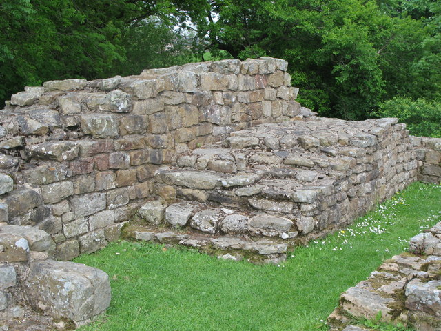
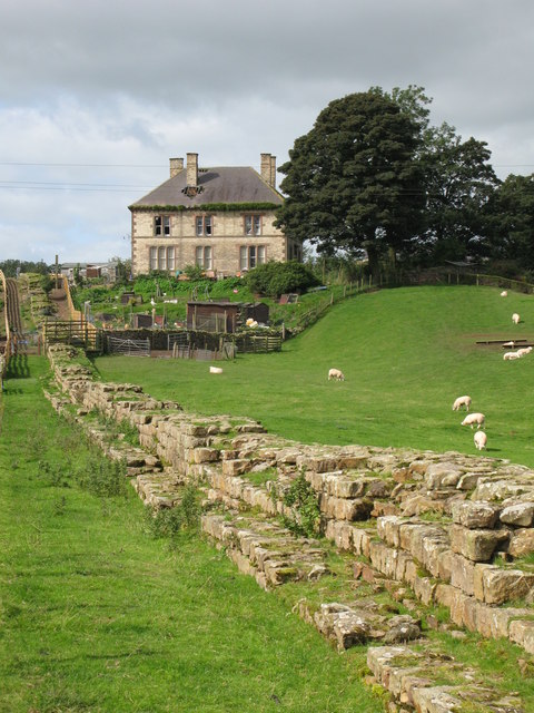
Poltross Burn Milecastle, Hadrian's Wall
- Overview About Milecastle 48 Map Street View Poltross Burn, located near Gilsland, is one of the best-preserved milecastles on Hadrian's Wall. It is larger than most other milecastles, housing two …
Co-Curate Page
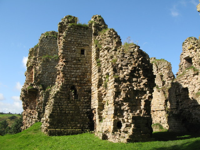
Thirlwall Castle
- Overview About Thirlwall Castle Map Street View Thirlwall Castle is a 12th-century castle in Northumberland, England, on the bank of the River Tipalt close to the village of Greenhead …
Co-Curate Page
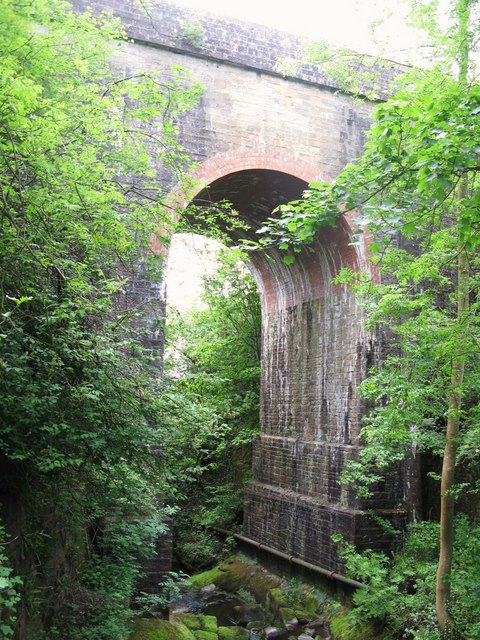
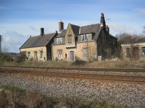
Former Station, Gilsland
- Overview Map Street View The railway station at Gilsland opened on the 9th July 1836 as Rose Hill (renamed Gilsland in 1869). It was built by the Newcastle and Carlisle …

Co-Curate Page
Wall Mile 48
- Overview Map Street View Interactive Glossary <Mile 47 | Mile 48 | Mile 49> Hadrian's Wall - Wall Mile 48 Hadrian's Wall stretches from the east to west coast of …

Co-Curate Page
Wall Mile 47
- <Mile 46 | Mile 47 | Mile 48> Hadrian's Wall - Wall Mile 47 Hadrian's Wall stretches from the east to west coast of England and was an important frontier …

Co-Curate Page
Chapel Rigg Roman temporary camp
- Map showing the Scheduled Monument area of Chapel Rigg Roman temporary camp Scheduled Monument (#1010954): Chapel Rigg Roman temporary camp Click the headings below to expand (selected extracts from the …
Co-Curate Page
Crooks Roman temporary camp
- Map showing the Scheduled Monument area of Crooks Roman temporary camp Scheduled Monument (#1010955): Crooks Roman temporary camp Click the headings below to expand (selected extracts from the Historic England …
Co-Curate Page
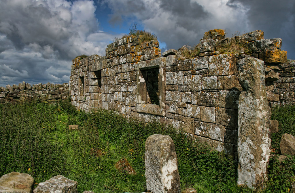
Burn Divot Drovers House and Sheepfold
- Overview Map Burn Divot is a ruined drover's house and surrounding sheepfold, located about 1¼ mile north-west of Whiteside in Northumberland. The house is dated 1736 on door lintel. The …

Co-Curate Page
Wall Mile 46
- <Mile 45 | Mile 46 | Mile 47> Hadrian's Wall - Wall Mile 46 Hadrian's Wall stretches from the east to west coast of England and was an important frontier …

Co-Curate Page
Poltross Burn Milecastle, Hadrian's Wall
- Overview About Milecastle 48 Map Street View Poltross Burn, located near Gilsland, is one of the best-preserved milecastles on Hadrian's Wall. It is larger than most other milecastles, housing two …
Co-Curate Page
Thirlwall Castle
- Overview About Thirlwall Castle Map Street View Thirlwall Castle is a 12th-century castle in Northumberland, England, on the bank of the River Tipalt close to the village of Greenhead …
Co-Curate Page
Former Station, Gilsland
- Overview Map Street View The railway station at Gilsland opened on the 9th July 1836 as Rose Hill (renamed Gilsland in 1869). It was built by the Newcastle and Carlisle …
Co-Curate Page
Wall Mile 48
- Overview Map Street View Interactive Glossary <Mile 47 | Mile 48 | Mile 49> Hadrian's Wall - Wall Mile 48 Hadrian's Wall stretches from the east to west coast of …
Co-Curate Page
Wall Mile 47
- <Mile 46 | Mile 47 | Mile 48> Hadrian's Wall - Wall Mile 47 Hadrian's Wall stretches from the east to west coast of England and was an important frontier …
Co-Curate Page
Chapel Rigg Roman temporary camp
- Map showing the Scheduled Monument area of Chapel Rigg Roman temporary camp Scheduled Monument (#1010954): Chapel Rigg Roman temporary camp Click the headings below to expand (selected extracts from the …
Co-Curate Page
Crooks Roman temporary camp
- Map showing the Scheduled Monument area of Crooks Roman temporary camp Scheduled Monument (#1010955): Crooks Roman temporary camp Click the headings below to expand (selected extracts from the Historic England …
Co-Curate Page
Burn Divot Drovers House and Sheepfold
- Overview Map Burn Divot is a ruined drover's house and surrounding sheepfold, located about 1¼ mile north-west of Whiteside in Northumberland. The house is dated 1736 on door lintel. The …