Topics > Northumberland > Civil Parishes in Northumberland > Thirlwall Civil Parish
Thirlwall Civil Parish
Area: 32.5 km²
Population:
479 (2021 Census)
455 (2011 Census)
461 (2001 Census)
Co-Curate Page
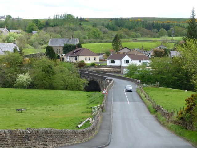
Gilsland
- Overview About Gilsland Map Street View Gilsland is a village which straddles the border between the counties of Cumbria and Northumberland. Gilsland is a village in northern England about 20 miles …

Co-Curate Page
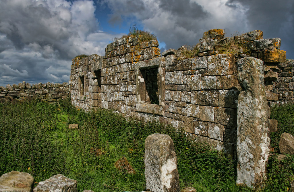
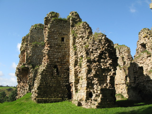
Thirlwall Castle
- Overview About Thirlwall Castle Map Street View Thirlwall Castle is a 12th-century castle in Northumberland, England, on the bank of the River Tipalt close to the village of Greenhead …

Co-Curate Page
Whiteside, Thirlwall
- Overview Map Street View Whiteside is a farm in Northumberland, located about 3 miles north of Haltwhistle. It is situated by Tipalt Burn. The present farmhouse here was built in …

Co-Curate Page
Gilsland
- Overview About Gilsland Map Street View Gilsland is a village which straddles the border between the counties of Cumbria and Northumberland. Gilsland is a village in northern England about 20 miles …
Co-Curate Page
Thirlwall Castle
- Overview About Thirlwall Castle Map Street View Thirlwall Castle is a 12th-century castle in Northumberland, England, on the bank of the River Tipalt close to the village of Greenhead …