Topics > Northumberland > Civil Parishes in Northumberland > Netherwitton Civil Parish > Historic Buildings and Monuments in Netherwitton Civil Parish
Historic Buildings and Monuments in Netherwitton Civil Parish
Listed buildings and scheduled monuments in Netherwitton Civil Parish, Northumberland, from the National Heritage List for England[1]. Use the Search (below) if looking for a specific building / monument.
| Structure | List No. | Grade | Built~ | Notes |
|---|---|---|---|---|
| Barn with Gingang Adjoining East End of Townhead Farmhouse | 1042877 | II | ||
| Church of St Giles | 1042909 | II* | C1th | Netherwitton |
| Claverings Cross | 1370644 | II | ||
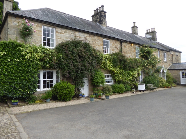
| Coachmans House and Adjacent Buildings North of Netherwitton Hall | 1304058 | II | ||
| Cottage 100 Metres North-East of Netherwitton Hall | 1370641 | II | ||
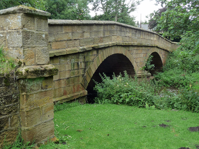
| Crossford Bridge over River Font | 1370623 | II | ||
| Farmbuildings to the North of Witton Shields Farmhouse | 1154027 | II | ||
| Folly 110 Metres West of Netherwitton Hall | 1042873 | II | ||
| Game Larder 60 Metres North of Netherwitton Hall | 1042871 | II | ||
| Garden and Yard Walls West of Witton Shields Tower | 1154042 | II | ||
| Garden House | 1153902 | II | ||
| Gate Piers and Screen Walls to South-East of Netherwitton Hall | 1370642 | II | ||
| Ha-Ha to South of Netherwitton Hall | 1042872 | II | ||
| Longwitton Hall | 1042907 | II | C18th | Longwitton |
| Netherwitton Bridge over River Font | 1153913 | II | C18th | Netherwitton |
| Netherwitton Farmhouse | 1042910 | II | Netherwitton | |
| Netherwitton Hall | 1042911 | I | 1685 | Netherwitton Country house by Robert Trollope |
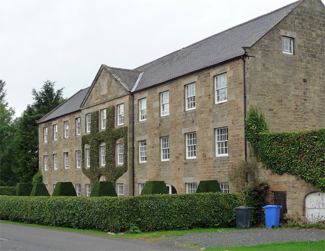
| Netherwitton Mill | 1304053 | II | 1794 | Netherwitton Former wool mill |
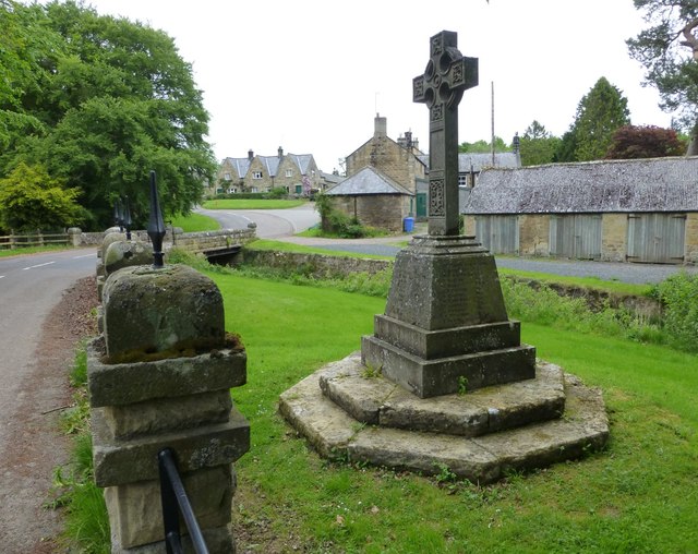
| Netherwitton Village Cross in Garden of Font House | 1042874 | II | Netherwitton | |
| Netherwitton War Memorial | 1407348 | II | c.1920 | Netherwitton |
| Selby House Farmhouse and Adjacent Outbuilding | 1042876 | II | ||
| Southwitton House | 1042908 | II | ||
| Stable Block North-West of Longwitton Hall | 1153909 | II | ||
| Stable Range North-East of Netherwitton Hall | 1042912 | II | ||
| Stanton Old Hall | 1370645 | II | Stanton | |
| Townhead Farmhouse and Adjacent Outbuilding to North-West | 1304023 | II | ||
| Wall on South Side of Walled Garden North-West Netherwitton Hall | 1370643 | II | ||
| Wellhouse in Garden 30 Metres South-West of Font House | 1042875 | II | ||
| Witton Shields Tower | 1042878 | II | 1608 | Witton Shields |
| Round cairn, 230m south of Netherwitton Hall | 1014730 | n/a | Scheduled Monument | |
| Round cairn, 400m north west of Bellion Farm | 1014057 | n/a | Scheduled Monument | |
| Round cairn, 700m NNW of Bellion Farm | 1014058 | n/a | Scheduled Monument | |
| Round cairn, 750m north west of Bellion Farm | 1014059 | n/a | Scheduled Monument | |
| Two defended settlements, 200m north of Gallowshaw | 1014060 | n/a | Scheduled Monument | |
| Netherwitton Conservation Area | - | n/a | Conservation Area |
Primary source: the National Heritage List for England - NHLE is the register of nationally protected historic buildings and sites in England, including listed buildings, scheduled monuments, protected wrecks, registered parks and gardens, and battlefields. The list is maintained by Historic England. Check NHLE for updates and new entries. Secondary sources: British Listed Buildings and Keys to the Past.
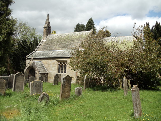
Co-Curate Page
Church of St. Giles, Netherwitton
- Overview Map Street View St Giles is the Parish Church in Netherwitton and dates from the 12th century, with subsequent alterations. The Church is Grade II* listed on the National …
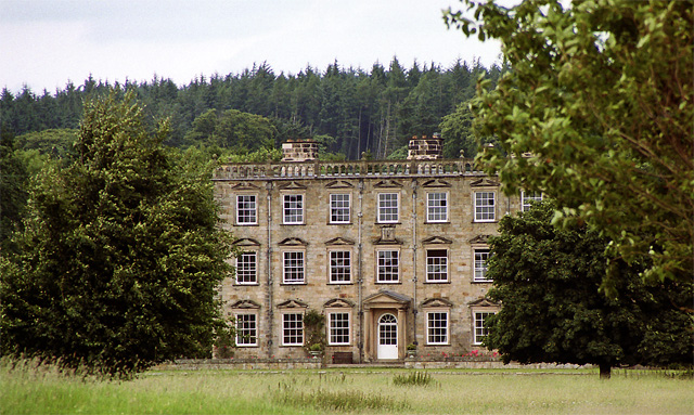
Co-Curate Page
Netherwitton Hall
- Overview About Netherwitton Hall Map Street View Netherwitton Hall is a grand country House, built in 1685, by Robert Trollope for Sir Nicholas Thornton.[1] It is located to the north …
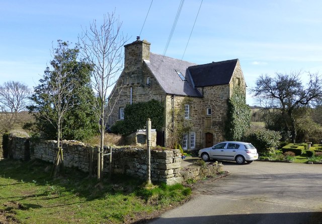
Co-Curate Page
Witton Shields
- Overview Map Witton Shields is a farm and hamlet in Northumberland. It is located just over half a mile west of the larer hamlet of Stanton and is today part …


Co-Curate Page
Church of St. Giles, Netherwitton
- Overview Map Street View St Giles is the Parish Church in Netherwitton and dates from the 12th century, with subsequent alterations. The Church is Grade II* listed on the National …

Co-Curate Page
Netherwitton Hall
- Overview About Netherwitton Hall Map Street View Netherwitton Hall is a grand country House, built in 1685, by Robert Trollope for Sir Nicholas Thornton.[1] It is located to the north …

