Topics > Cumbria > Gilderdale > Gilderdale Bridge

Gilderdale Bridge


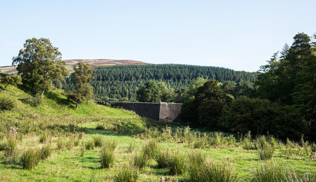
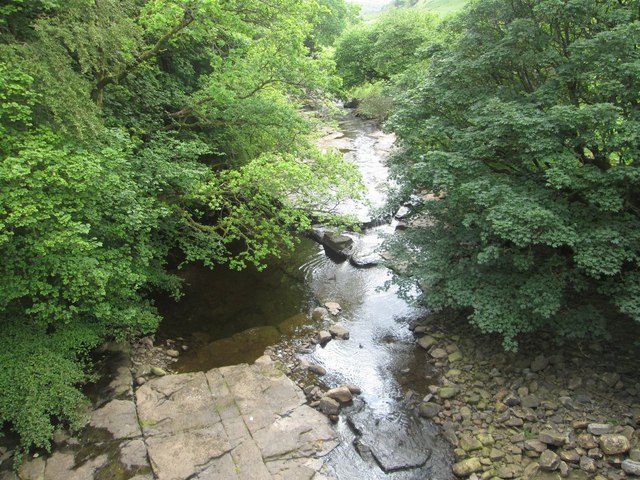
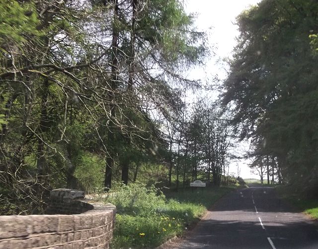
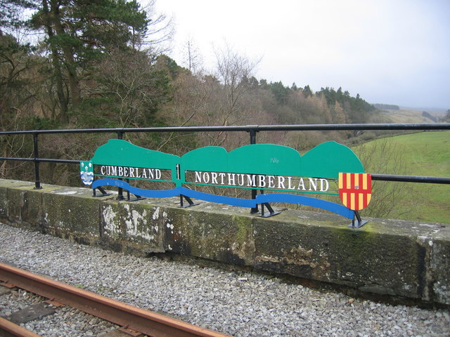
Gilderdale Bridge carries the A689 road over Gilderdale Burn, about 1 mile south-east of Kirkhaugh and 1½ miles north-west of Alston. The stone bridge was built in 1836 and is situated on the county boundry between Cumbria and Northumberland, straddling the civil parishes of Knaresdale with Kirkhaugh (Northumberland) and Alston Moor (Cumbria). Gilderdale Bridge is Grade II listed on the National Heritage List for England.

This BRIDGE was Built BY THE Counties of Northumberland & Cumberland 1836.

Gilderdale 1836 Bridges Historic Buildings and Monuments in Knaresdale with Kirkhaugh CP Gilderdale Burn Historic Buildings and Monuments in Alston Moor Civil Parish
from Geograph (geograph)
Gilderdale Bridge

Pinned by Simon Cotterill
from Geograph (geograph)
Looking south-west on the Gilderdale Burn

Pinned by Simon Cotterill
from Geograph (geograph)
Entering Cumbria at Howgill Rigg

Pinned by Simon Cotterill
Gilderdale Burn
  Co-Curate Page
Gilderdale Burn

Comments

Add a comment or share a memory.

Login to add a comment. Sign-up if you don't already have an account.


ABOUT US

Co-Curate is a project which brings together online collections, museums, universities, schools and community groups to make and re-make stories and images from North East England and Cumbria. Co-Curate is a trans-disciplinary project that will open up 'official' museum and 'un-officia'l co-created community-based collections and archives through innovative collaborative approaches using social media and open archives/data.

LATEST SHARED RESOURCES