Topics > Cumbria > Rivers in Cumbria > River Esk ('the Border Esk') > River Lyne (Cumbria) > White Lyne > Four medieval shielings on south bank of White Lyne overlooking confluence with Little Hare Grain
Four medieval shielings on south bank of White Lyne overlooking confluence with Little Hare Grain
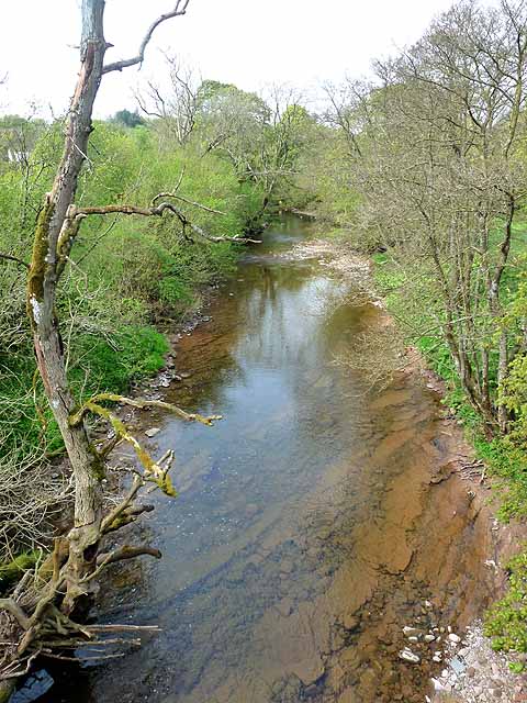
This group of four Medieval shielings is in a remote area about 3½ miles north of Bewcastle. The remains are situated by the White Lyne in an area which is now used for forestry. They are a Scheduled Monument (legally protected).
Scheduled Monument (#1016393): Four medieval shielings on south bank of White Lyne overlooking confluence with Little Hare Grain
Click the headings below to expand (selected extracts from the Historic England scheduling)
Despite some damage by afforestation, the four medieval shielings on the south bank of the White Lyne overlooking its confluence with Little Hare Grain survive reasonably well and are part of a larger group of shielings sited amongst the uplands and along the river valleys and tributaries of north east Cumbria which, taken together, will add to our knowledge and understanding of the wider border settlement and economy during the medieval period. Additionally this group of shielings is a rare example of different types of shielings occupying the same site, and as such will facilitate any further study of the developments in the construction of shielings throughout the medieval period.
The monument includes the upstanding and buried remains of a group of four stone built medieval shielings located on the south bank of White Lyne between 20m-55m north east of its confluence with Muckle Hare Grain. This group forms part of a larger group of 24 shielings strung out for approximately 800m along the valley floor of the White Lyne which were surveyed by the Royal Commission on the Historical Monuments of England in 1970 prior to afforestation of the area.
The most prominent and best preserved shieling in this group lies immediately south of a forestry track. It is a rectangular single-roomed shieling measuring 8.2m by 4.3m with its long axis aligned north east-south west and walls up to 1.7m high. There is an entrance on its south west side with a reused threshold stone. This shieling overlies the boulder footings of an earlier and slightly larger shieling which measures 9.3m by 4.5m.
A short distance to the south west are the large boulder walls of a single-roomed circular shieling measuring 3.8m in diameter and 0.8m high. There is an entrance in the north east side of this shieling. Approximately 25m to the south west there is a rectangular shieling with rounded corners at its western end. It measures 6.4m by 3.5m with walls up to 0.6m high, and has its long axis aligned east-west. There is a paved entrance in the south side slightly to the east of centre.
Documentary sources indicate that the Bewcastle Fells were first used by the Lords of Burgh on Solway in the 13th century to summer their cattle and build `shields and cabins'. This custom continued into the 17th century.

from https://historicengland.org.u…
Four medieval shielings on south bank of White Lyne overlooking confluence with Little Hare Grain - List Entry
- Shielings are small seasonally occupied huts which were built to provide shelter for herdsmen who tended animals grazing summer pasture on upland or marshland. These huts reflect a system called …
Added by
Simon Cotterill