Topics > Cumbria > Rivers in Cumbria > River Esk ('the Border Esk') > River Lyne (Cumbria)
River Lyne (Cumbria)
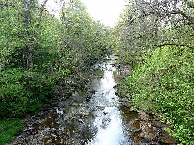
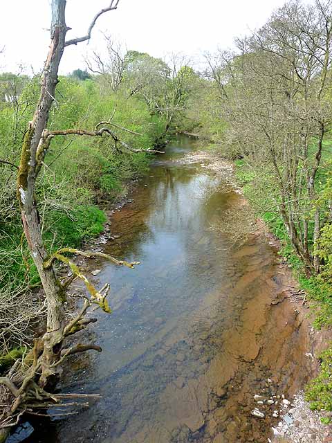
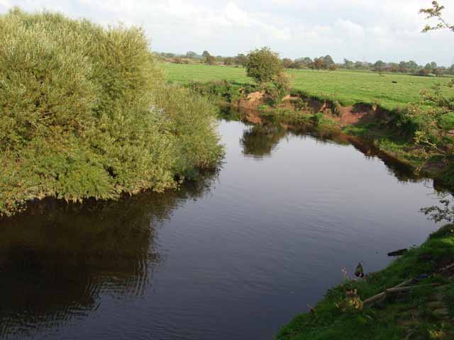
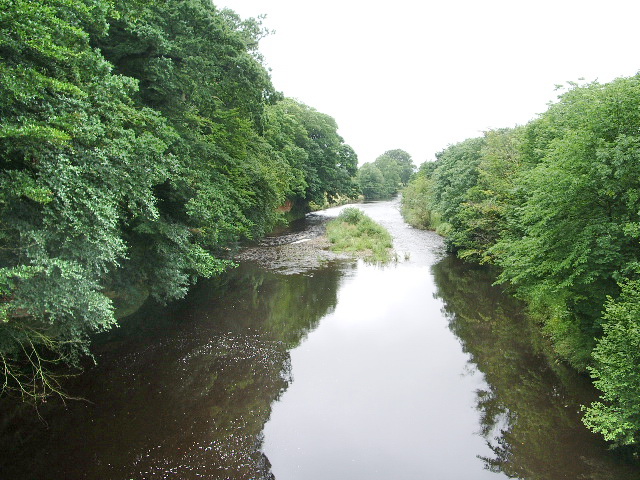
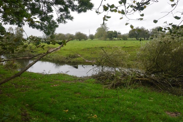
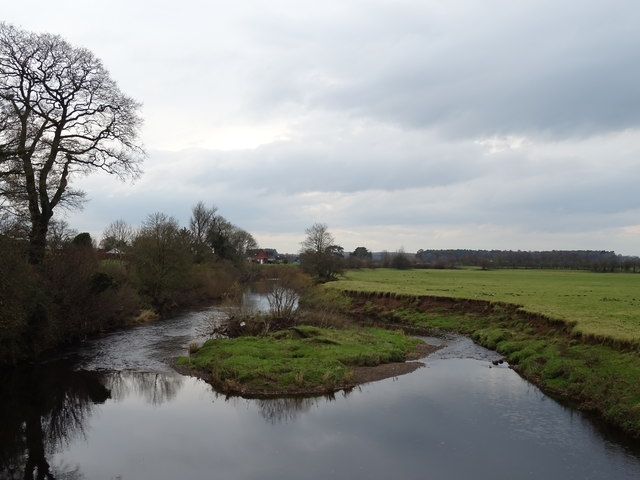
The Lyne is a river in Cumbria, which is a tributary of the Border Esk. It forms near Stapleton at the confluence of the Black Lyne and White Lyne. The Lyne is aproximately 41 km long.[1]
The Lyne is within the Esk and Irthing Operational Catchment Area (Environment Agency). Within this, the Lyne and upstream water bodies are:
| Water Body ID | Water Body Name | Area (km2) |
| GB102077074170 | Lyne | 57.7 |
| GB102077074210 | --White Lyne d/s Bewcastle | 16.9 |
| GB102077074270 | --White Lyne u/s Bewastle | 30.4 |
| GB102077074220 | ----Kirk Beck | 15.3 |
| GB102077074250 | --Black Lyne | 18.3 |
| GB102077074290 | --Black Lyne (upper) | 23.3 |
| GB102077074280 | ----Bailey Water | 25.2 |
| GB102077074240 | --Rae Burn | 21.8 |
| GB102077074150 | --Hether Burn | 30.9 |
The River Lyne is a river of Cumbria in England.
The river is formed near the hamlet of Stapleton, five miles west of Bewcastle, by the confluence of the Black Lyne (moving from the north) and the White Lyne (from northeast).
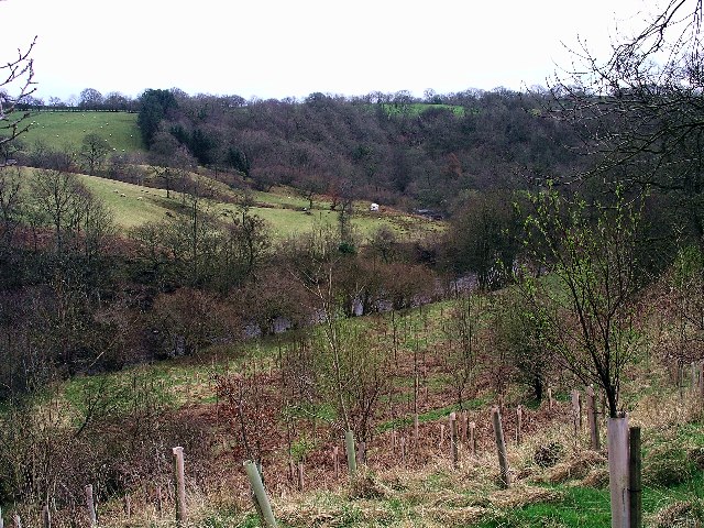
Both branches have sources in the remote north east of Cumbria in Kershope Forest close to the borders with Scotland and Northumberland, with the Black Lyne having its source at Blacklyne Common and the White Lyne at Whitelyne Common.
After the meeting of the waters, the river continues in a west-by-south-westerly direction to Lynefoot, where it flows into the Border Esk.
Visit the page: River Lyne for references and further details. You can contribute to this article on Wikipedia.
Co-Curate Page
Lyneside Township, 1848
- LINESIDE, a township, in the parish of Arthuret, union of Longtown, Eskdale ward, E. division of Cumberland, 3 miles (E.S.E.) from Longtown; containing 128 inhabitants. It lies at the confluence …

Co-Curate Page
Westlinton
- Overview About Westlinton Map Street View Westlinton is a village in the City of Carlisle district of Cumbria, located on the A7 road, about 5 miles north of the centre …
Co-Curate Page
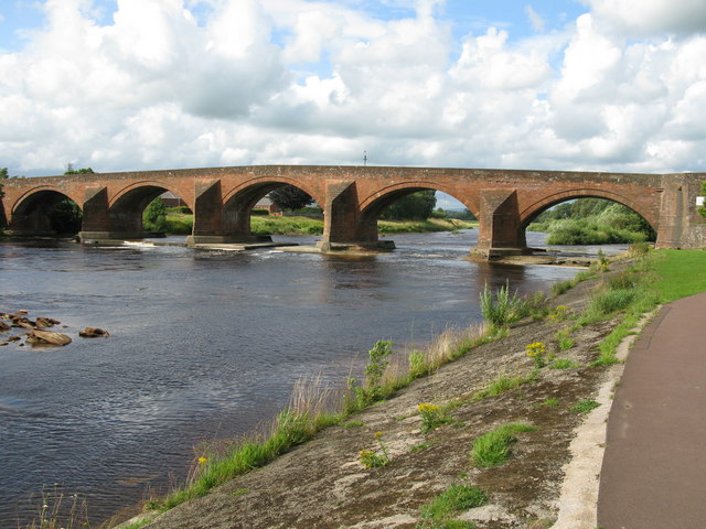
Westlinton Bridge
- Overview Map Street View Westlinton Bridge is located immediately north of the village of Westlinton and carries the A7 road over the River Lyne. The red sandstone bridge has 2 …

Co-Curate Page
Lyneside Township, 1848
- LINESIDE, a township, in the parish of Arthuret, union of Longtown, Eskdale ward, E. division of Cumberland, 3 miles (E.S.E.) from Longtown; containing 128 inhabitants. It lies at the confluence …
Co-Curate Page
Westlinton
- Overview About Westlinton Map Street View Westlinton is a village in the City of Carlisle district of Cumbria, located on the A7 road, about 5 miles north of the centre …