Topics > Northumberland > Druridge (village)
Druridge (village)
DRURIDGE, a hamlet, in the parochial chapelry of Widdrington, union of Morpeth, E. division of Morpeth ward, N. division of Northumberland, 9¼ miles (N.E. by E.) from Morpeth; containing 58 inhabitants. The village is situated on the shore of a bay of the same name in the North Sea, about a mile to the east of Widdrington: the fine sands of the bay, being smooth, firm, and level, are well adapted for bathing.
Extract from: A Topographical Dictionary of England comprising the several counties, cities, boroughs, corporate and market towns, parishes, and townships..... 7th Edition, by Samuel Lewis, London, 1848.

Co-Curate Page
Druridge Bay
- Overview Map Street View Druridge Bay is a seven mile-stretch of beach running from Amble to Cresswell in Northumberland, located about 7 miles north-east of Morpeth and immediately east of the …

from https://keystothepast.info/se…
Druridge
- This is the site of the deserted medieval village of Druridge. No remains can be seen here now.
Added by
Simon Cotterill

from https://historicengland.org.u…
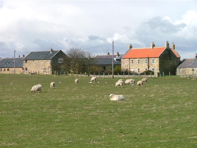
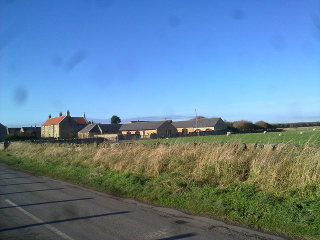
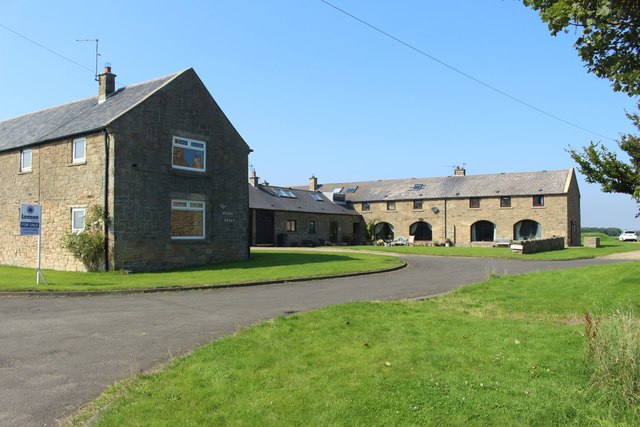
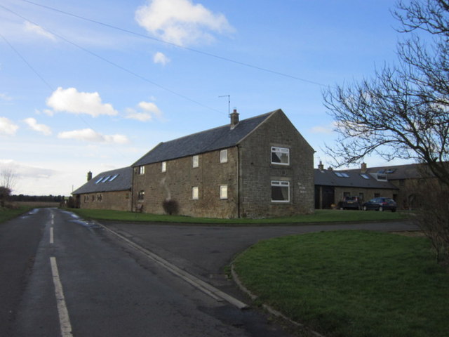
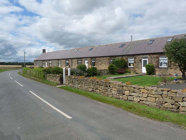
FARM BUILDINGS AND ATTACHED YARD WALLS TO NORTH EAST OF DRURIDGE FARMHOUSE - List Entry
- Farmbuildings. Barn C18, other buildings early C19. Rubble with dressings; slate roofs except for pantiles on barn. F-plan with barn at south end of north-south range and twin yards on …
Added by
Simon Cotterill

Co-Curate Page
Druridge Bay
- Overview Map Street View Druridge Bay is a seven mile-stretch of beach running from Amble to Cresswell in Northumberland, located about 7 miles north-east of Morpeth and immediately east of the …
from https://keystothepast.info/se…
Druridge
- This is the site of the deserted medieval village of Druridge. No remains can be seen here now.
Added by
Simon Cotterill
from https://historicengland.org.u…
FARM BUILDINGS AND ATTACHED YARD WALLS TO NORTH EAST OF DRURIDGE FARMHOUSE - List Entry
- Farmbuildings. Barn C18, other buildings early C19. Rubble with dressings; slate roofs except for pantiles on barn. F-plan with barn at south end of north-south range and twin yards on …
Added by
Simon Cotterill