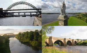
Topics > Geography > Rivers > River Tyne > Devil's Water
Devil's Water
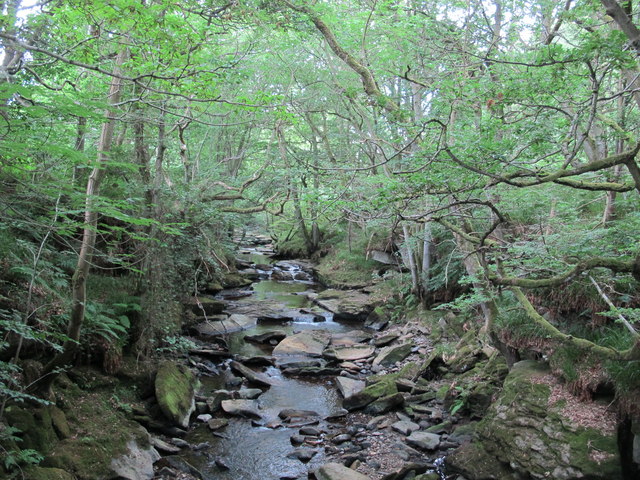
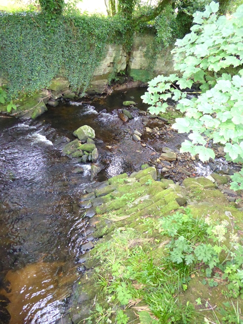
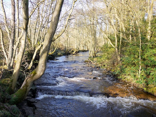
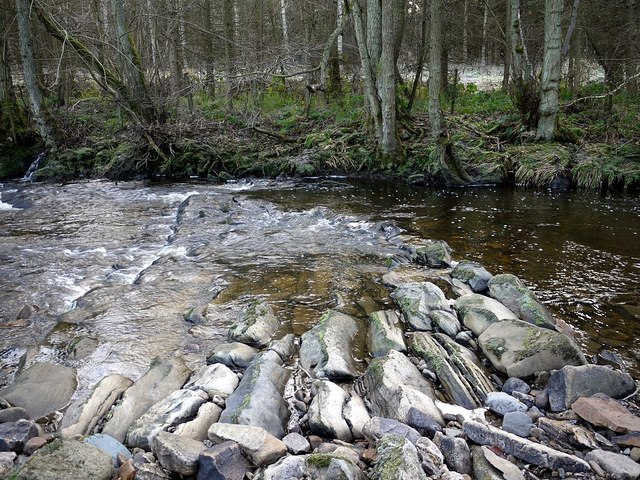
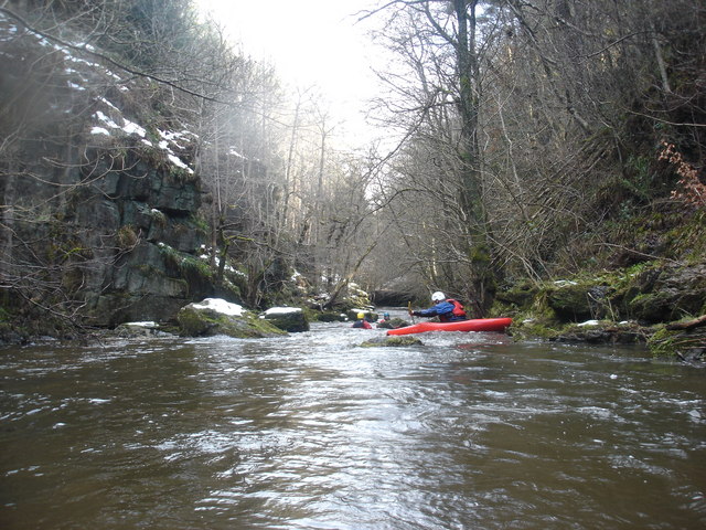
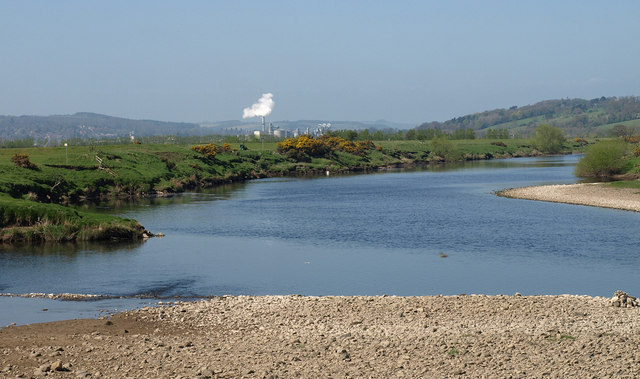
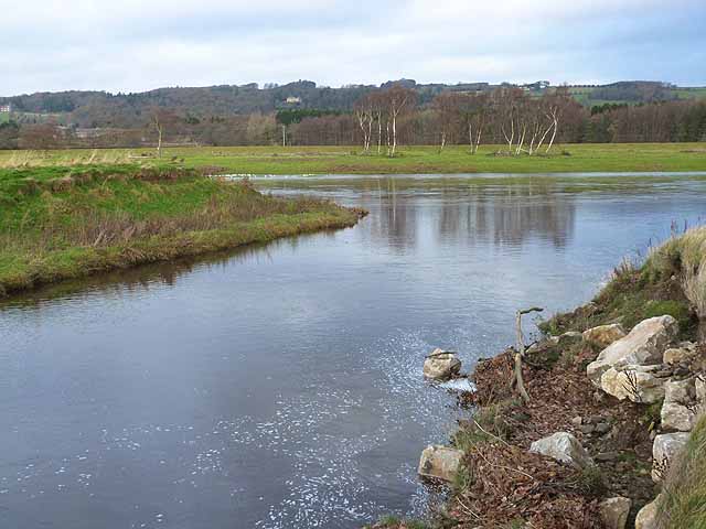
The Devil's Water is a river in Northumberland, which is a tributary of the River Tyne. The Devil's Water is aproximately 16km long, flowing roughly north-eastwards past Whitley Chapel and Dilston, to join the Tyne just south-west of Corbridge. Devil's Water has many tributaries, the two largest of which are Rowley Burn and West Diptopn Burn
Devil's Water is a river in Northumberland, England. A tributary of the River Tyne it joins that river from the south, near the village of Dilston about south-west of Corbridge. It is formed from the waters of several smaller burns and sikes between Embley and Hackford some to the south of Hexham.
Its tributaries include Rowley Burn and West Dipton Burn.
Devil's Water is of historical interest, figuring in the Battle of Hexham.
Visit the page: Devil's Water for references and further details. You can contribute to this article on Wikipedia.
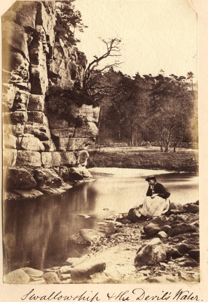
from Sunderland Public Libraries (flickr)
Swallowship - The Devils Water c1860
Pinned by Simon Cotterill
from Geograph (geograph)
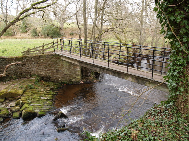
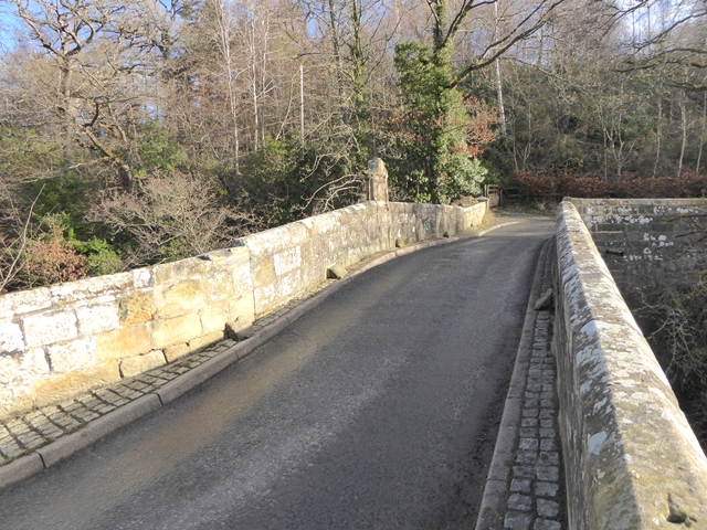
A695 Road Bridge at Dilston over the Devil's Water
Pinned by Simon Cotterill
Co-Curate Page
Dilston
- Overview Map Street View Dilston is a small settlement located by the Devil's Water, just over a mile south-west of Corbridge in Northumberland. Dilston is the site of a deserted …

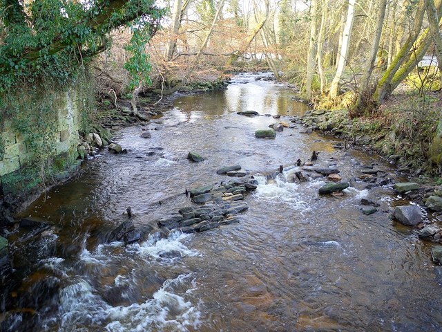
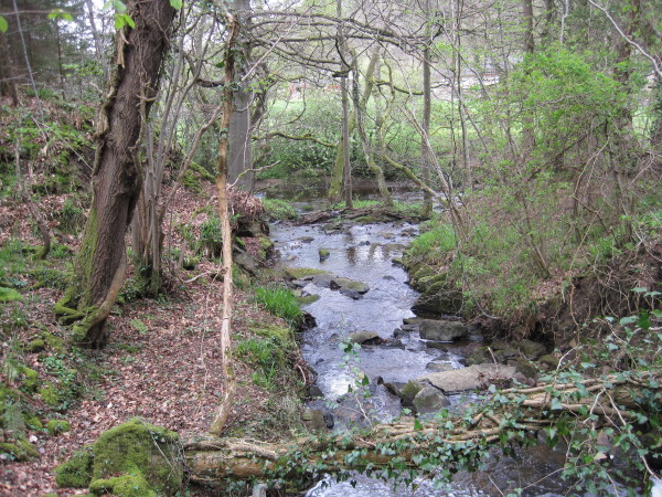
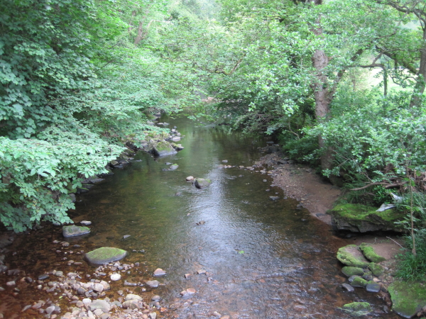
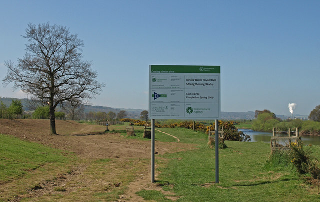
from https://environment.data.gov.…
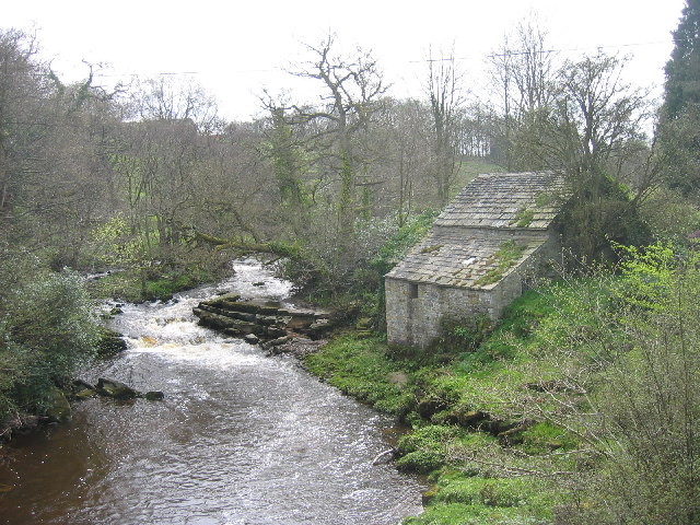
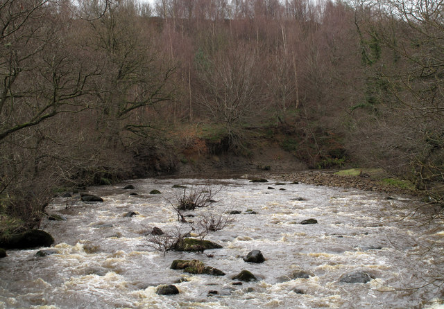
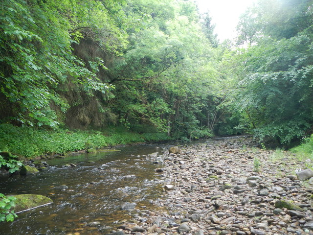
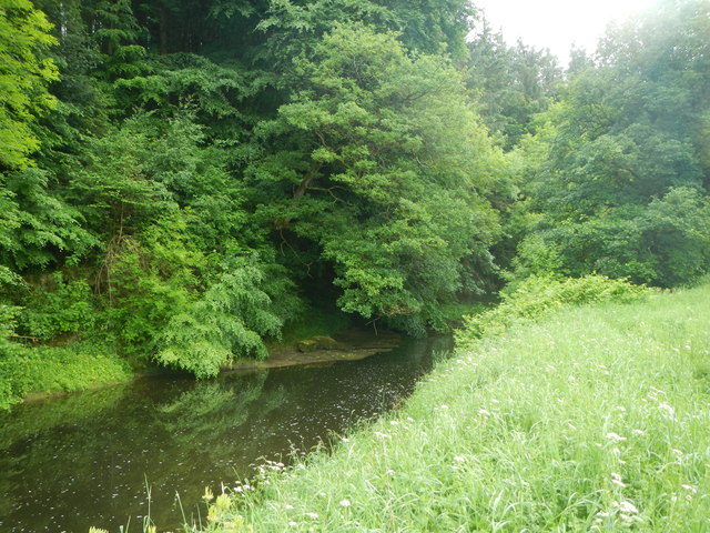
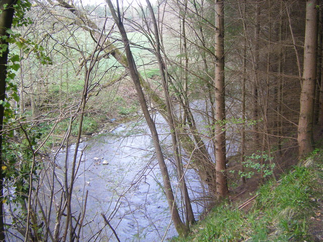
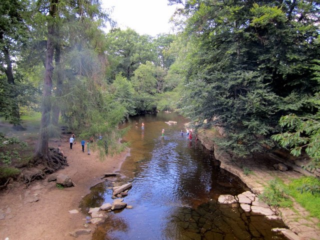
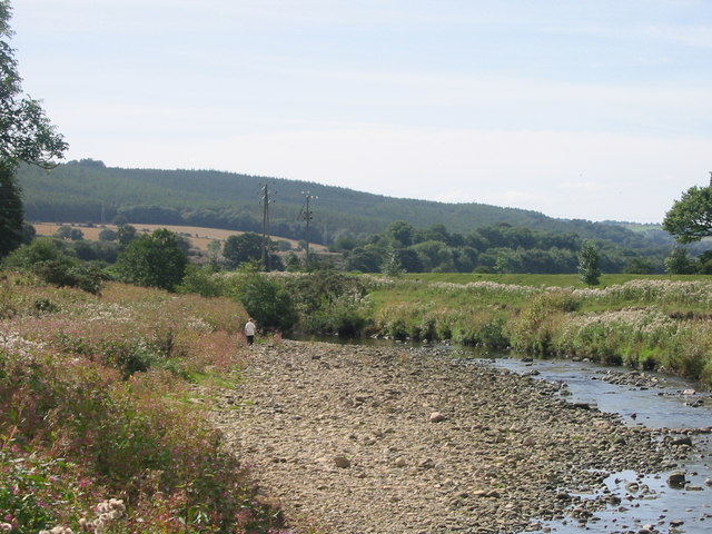
Devils Water from Source to Rowley Burn
Added by
Simon Cotterill
Co-Curate Page
Whitley Chapel
- Overview About Whitley Chapel Map Street View Whitley Chapel is a village in Northumberland, located about 4 miles south of Hexham. It is within the civil parish of Hexhamshire. The parish …
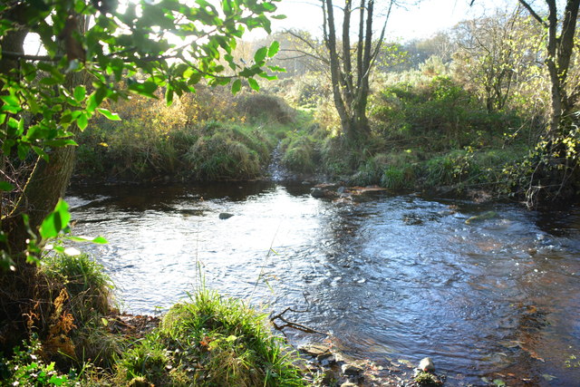
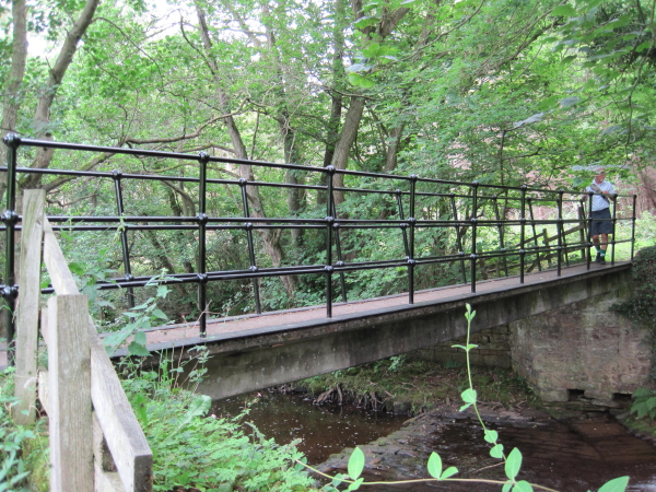
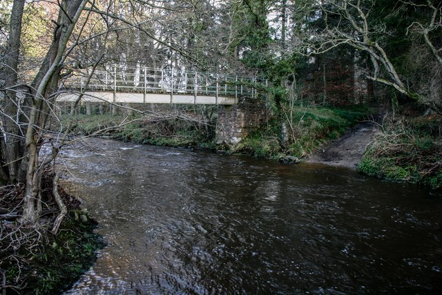
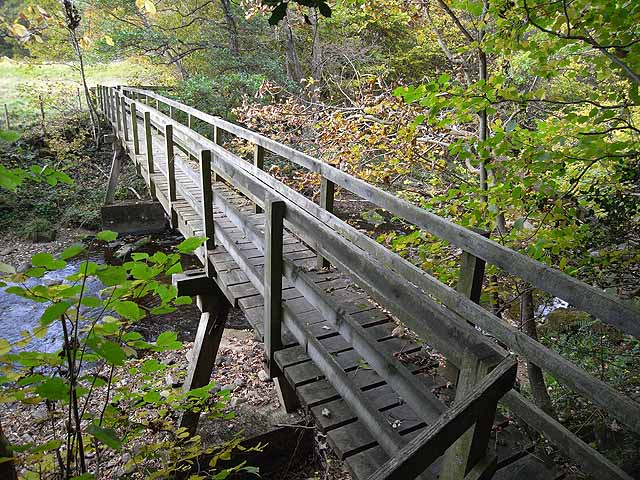
from Geograph (geograph)
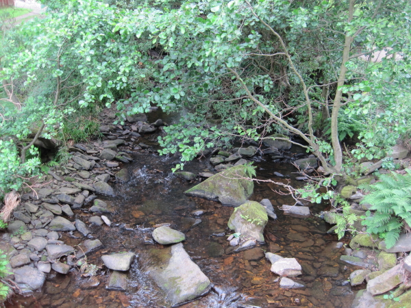
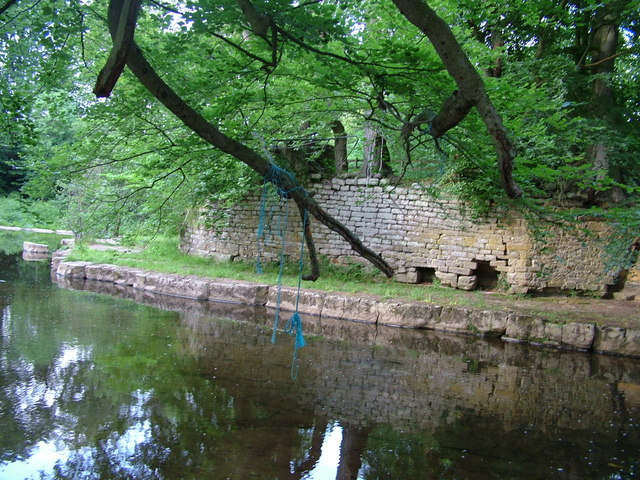
Site of former dam on Devil's Water, above footbridge
Pinned by Simon Cotterill
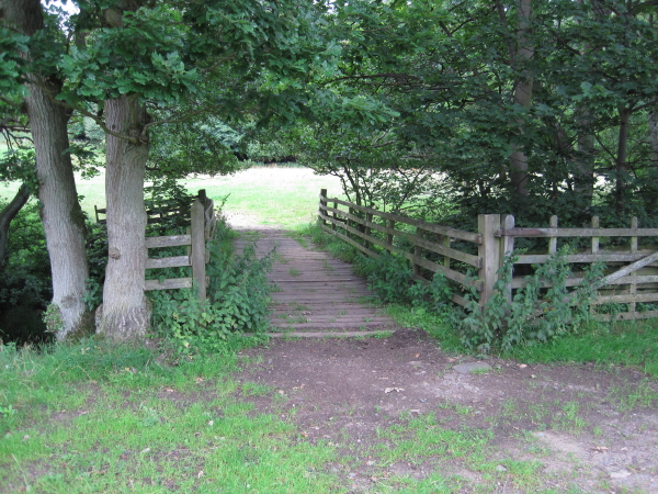
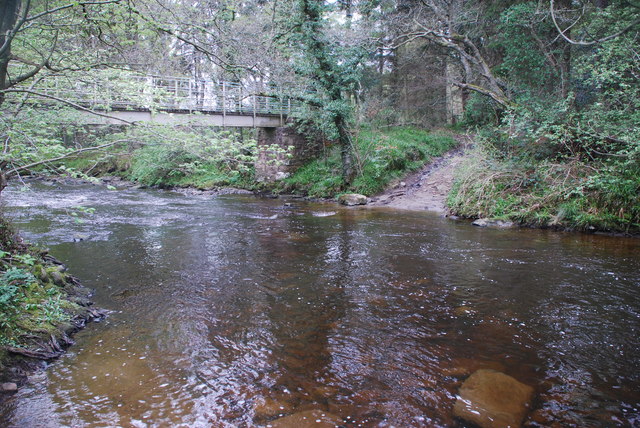
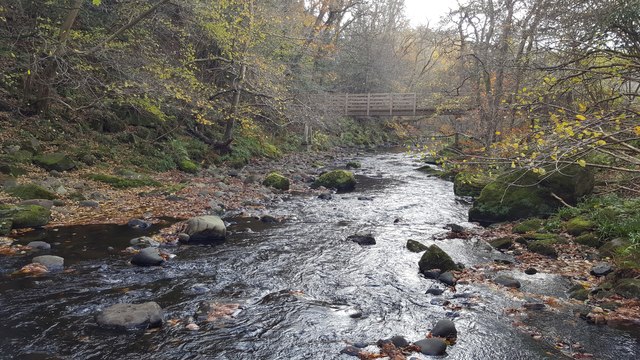
from Geograph (geograph)
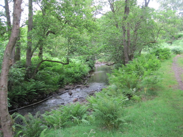
Site of old dam on Devil's Water, east of footbridge
Pinned by Simon Cotterill
Co-Curate Page
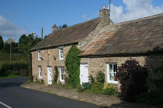
Linnels
- Overview Map Street View Linnels is a hamlet by Devil's Water, located about a mile and a half south-east of Hexham and 3 miles south-west of Corbridge.
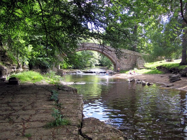
Co-Curate Page
Linnels Bridge
- Overview Map Street View The stone bridge over Devil's Water in Linnels in Northumberland is thought to have been built in 1698.[1] It incorporate and inscribed tablet from an earlier bridge …
Co-Curate Page
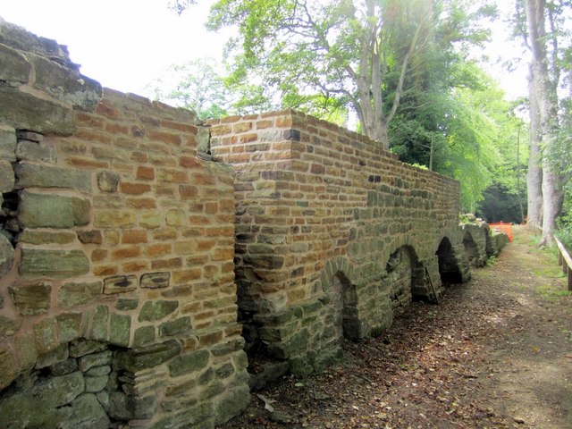
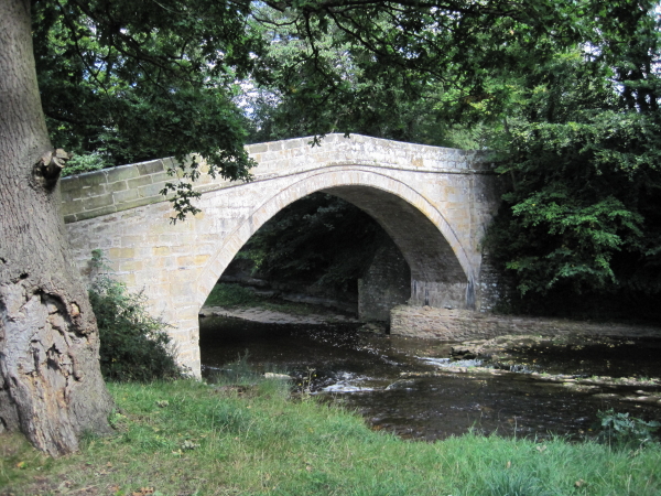
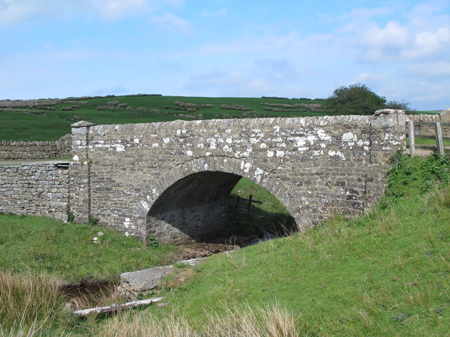
Bridge over Devil's Water, Harwood Shield
- Overview Map The stone segmental arch bridge over Devil's Water, south of Harwood Shield, was built in 1832. The bridge is Grade II listed on the National Heritage List for …

from Sunderland Public Libraries (flickr)
Swallowship - The Devils Water c1860
Pinned by Simon Cotterill
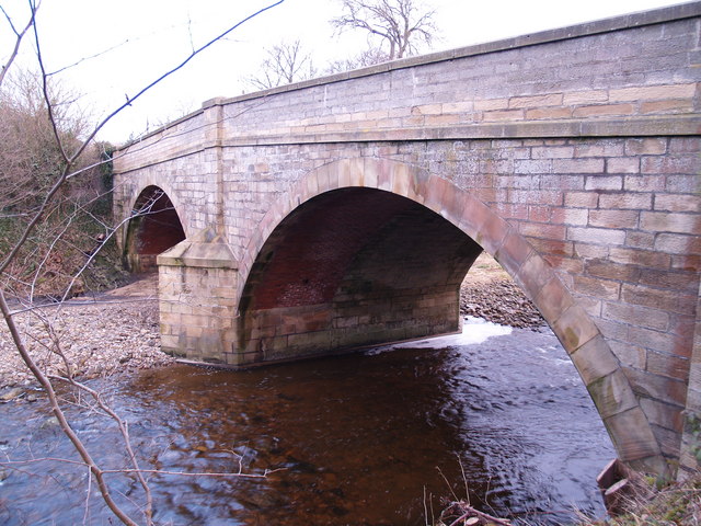
from Geograph (geograph)
A695 Road Bridge at Dilston over the Devil's Water
Pinned by Simon Cotterill
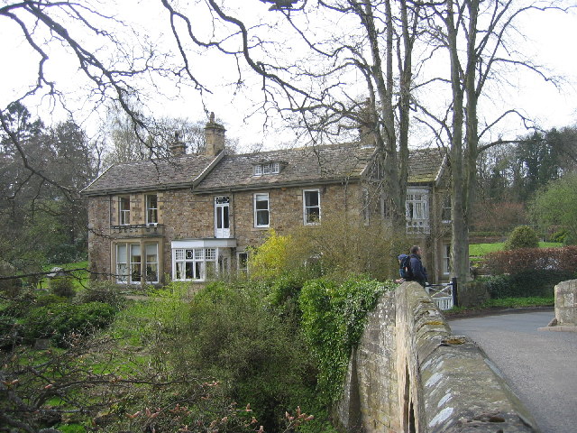
Co-Curate Page
Dilston
- Overview Map Street View Dilston is a small settlement located by the Devil's Water, just over a mile south-west of Corbridge in Northumberland. Dilston is the site of a deserted …
from https://environment.data.gov.…
Devils Water from Source to Rowley Burn
Added by
Simon Cotterill
Co-Curate Page
Whitley Chapel
- Overview About Whitley Chapel Map Street View Whitley Chapel is a village in Northumberland, located about 4 miles south of Hexham. It is within the civil parish of Hexhamshire. The parish …
from Geograph (geograph)
Site of former dam on Devil's Water, above footbridge
Pinned by Simon Cotterill
from Geograph (geograph)
Site of old dam on Devil's Water, east of footbridge
Pinned by Simon Cotterill
Co-Curate Page
Linnels
- Overview Map Street View Linnels is a hamlet by Devil's Water, located about a mile and a half south-east of Hexham and 3 miles south-west of Corbridge.
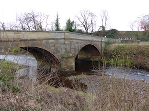
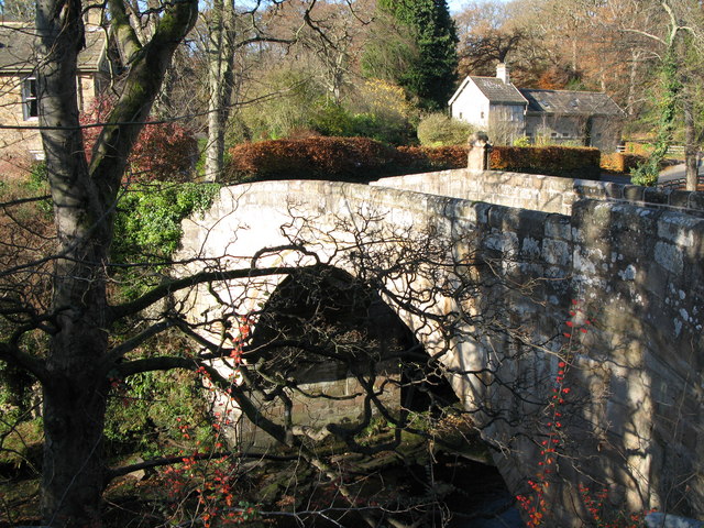
Co-Curate Page
Linnels Bridge
- Overview Map Street View The stone bridge over Devil's Water in Linnels in Northumberland is thought to have been built in 1698.[1] It incorporate and inscribed tablet from an earlier bridge …