Topics > Civil Parishes in Cumbria > Dalston Civil Parish > Dalston Parish, 1848
Dalston Parish, 1848
DALSTON (St. Michael), a parish, in the union of Carlisle, ward, and E. division of the county, of Cumberland; comprising the townships of Buckabank, Cumdivock, Dalston, Hawkesdale, and Raughton with Gaitsgill, and the chapelry of Highhead; and containing 2,874 inhabitants, of whom 1,024 are in the township of Dalston, 4½ miles (S.S.W.) from Carlisle. This place, from various circumstances, appears to have been visited by the Romans; and from some extensive quarries of freestone here, it is supposed a great part of the stone used for building the Roman wall from Carlisle to Bowness was dug; an opinion confirmed by the discovery, about the middle of the last century, of a Roman inscription on the face of a rock, and by the vestiges of three Roman encampments, that exist in the neighbourhood. Rose Castle, in the parish, is supposed to have been the principal residence of the bishops of Carlisle from the year 1228: in 1322 it was burnt by Robert Bruce, and, about 1366, was twice attacked and ravaged by the Scots. Before the civil war in the seventeenth century, the building formed a complete quadrangle, had five towers, and was surrounded by a turreted wall. In 1648, being then held for the king, it was attacked by General Lambert, and taken by storm; shortly afterwards, the Duke of Hamilton's army was here reinforced by that under Sir Marmaduke Langdale, and the castle, after having been used as a prison for the royalists, was burnt by order of Major Cholmeley. Since the Restoration it has been rebuilt, and improved by successive prelates. The parish comprises about 10,850 acres; the surface, though hilly, is not mountainous, and the valleys are watered by the river Caldew, which, after receiving the Raugh and the Ive, gives name to a beautiful vale. Stone of excellent quality is found, and at Shalk are some very extensive quarries: the cotton manufacture is carried on to a considerable extent, there being several mills; and an iron and plating forge is conducted on a large scale, for spades and implements of husbandry. The village is well built, and at the eastern extremity is an ancient cross, raised on a flight of steps, and bearing several coats of arms; a customary market is held on Friday, and the village is a polling-place for the eastern division of the county. The living is a vicarage, valued in the king's books at £8. 18. 1½.; net income, £201; patron and appropriator, the Bishop. The church was rebuilt about a century ago. At Highhead is a separate incumbency. There is a place of worship for Wesleyans; and a school, rebuilt in 1815, is endowed with £33 per annum. Remains exist of a Druidical circle about thirty yards in circumference. The celebrated Dr. Paley was vicar of Dalston from 1774 to 1793.
Extract from: A Topographical Dictionary of England comprising the several counties, cities, boroughs, corporate and market towns, parishes, and townships..... 7th Edition, by Samuel Lewis, London, 1848.
Co-Curate Page
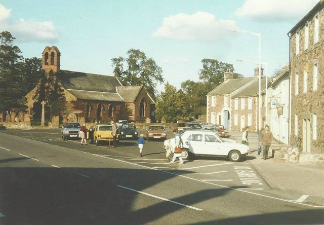
Dalston
- Overview About Dalston Map Street View Dalston is a village in the City of Carlisle district of Cumbria, located by the River Caldew and about 4 miles south-west of the …
from https://www.cumbriacountyhist…
Dalston Parish
- "Ancient parish in Cumberland ward, Cumberland, comprising townships of Buckabank, Cumdivock, Dalston, Hawksdale, Ivegill or Highhead, and Raughton & Gaitsgill. CP enlarged by gaining part of Castle Sowerby CP and …
Added by
Simon Cotterill
Co-Curate Page
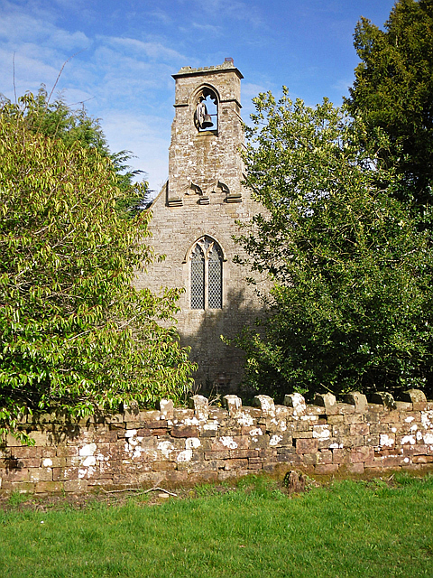
Cumdivock
- Overview Map Street View Cumdivock is a hamlet in the City of Carlisle district of Cumbria, located about 5 miles south-west of the centre of Carlisle and 1½ miles from the …
Co-Curate Page
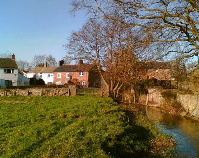
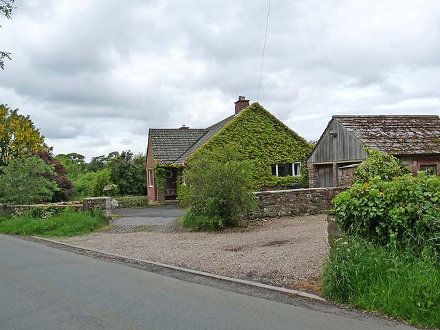
Buckabank
- BUCKHOW-BANK, a township, in the parish of Dalston, union of Carlisle, ward, and E. division of the county, of Cumberland, 5½ miles (S. S. W.) from Carlisle; containing 636 inhabitants. …
Co-Curate Page
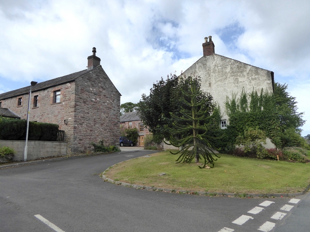
Hawksdale
- Overview Map Street View Hawksdale is a distributed hamlet in the City of Carlisle district of Cumbria, located by the River Caldew and about 1½ miles south of the village …
Co-Curate Page
Ivegill
- Overview About Ivegill Map Street View HIGHEAD, or Ivegill, a chapelry, in the parish of Dalston, union of Carlisle, ward, and E. division of the county, of Cumberland, 4 miles …


Co-Curate Page
Dalston
- Overview About Dalston Map Street View Dalston is a village in the City of Carlisle district of Cumbria, located by the River Caldew and about 4 miles south-west of the …

from https://www.cumbriacountyhist…
Dalston Parish
- "Ancient parish in Cumberland ward, Cumberland, comprising townships of Buckabank, Cumdivock, Dalston, Hawksdale, Ivegill or Highhead, and Raughton & Gaitsgill. CP enlarged by gaining part of Castle Sowerby CP and …
Added by
Simon Cotterill

Co-Curate Page
Cumdivock
- Overview Map Street View Cumdivock is a hamlet in the City of Carlisle district of Cumbria, located about 5 miles south-west of the centre of Carlisle and 1½ miles from the …

Co-Curate Page
Buckabank
- BUCKHOW-BANK, a township, in the parish of Dalston, union of Carlisle, ward, and E. division of the county, of Cumberland, 5½ miles (S. S. W.) from Carlisle; containing 636 inhabitants. …

Co-Curate Page
Hawksdale
- Overview Map Street View Hawksdale is a distributed hamlet in the City of Carlisle district of Cumbria, located by the River Caldew and about 1½ miles south of the village …


