Topics > Civil Parishes in Cumbria > Dalston Civil Parish
Dalston Civil Parish
Parish boundaries may have changed - for the latest map see the Parish Council or Cumbria County Council.
About the Parish
| Main Settlements: | Dalston (village) and several hamlets, including: Buckabank, Cardew, Cardewlees, Cumdivock, Gaitsgill, Hawksdale, Lakerigg, Lingey, Low Mill, Orton Grange, Raughton, Raughton Head, Stockdalewath, Unthank |
| Population: |
2,796 (2021 Census) 2,590 (2011 Census) 2,643 (2001 Census) |
| Area: | 48.2 km2 |
| Parish Council: | Dalston Parish Council |
| Unitary Authority: | Cumberland Council |
| Ceremonial County: | Cumbria |
Historical |
|
| Ancient Parish: |
Composed of: Raughton with Gaitsgill Township Highhead Chapelry Ancient parishes refer to the parishes before the split between ecclesiastical (church) and civil parishes in the 19th century. They had a parish church and often were composed of multiple townships and chapelries. In many cases, townships and parishes were originally based on the territory of manors from the feudal system during medieval times. Civil parishes were created following the Poor Law Amendment Act 1866, in which Church of England parishes, extra-parochial areas, townships and chapelries, became "civil parishes" which could set their own poor rate (tax). Then the reforms of Local Government Act 1894 established elected civil parish councils (or parish meetings for parishes with less than 300 residents) and created urban and rural districts. Boundaries of parishes and civil parishes may have changed over time. |
| Ancient District: |
East (ward) |
| Poor Law Union: |
Carlisle Poor Law Union, formed in 1838 (replacing an earlier Union). The main Carlisle Union Workhouse was located on Fusehill Street in Carlisle, built in 1863. St Cuthbert's workhouse at Harraby Hill was used to accomodate children. Under the Poor Law Amendment Act of 1834 parishes were grouped into Unions, each of which had to build a workhouse if they did not already have one. It ended the old system of locally provided poor relief which had come under strain as numbers out of work grew, following increasing mechanisation of agriculture and the economic downturn after the Napoleonic Wars, along with changing social attitudes. The workhouse provided those unable to support themselves financially with accommodation and work. Inmates were generally segregated into men, women, boys and girls. The workhouse system was abolished by the Local Government Act 1929, but many workhouses lived on as ‘Public Assistance Institutions’ until the National Assistance Act 1948. |
| County: |
Cumberland, until 1974, then: Cumbria, which was created on the 1st of April 1974, following the Local Government Act 1972. The new county absorbed Cumberland and Westmorland, and added some parts of Lancashire and the West Riding of Yorkshire. Cumbria County Council was abolished in 2023 and replaced by 2 new Unitary authorities. Cumbria remains a ceremonial county; retaining ceremonial boundary and the roles and responsibilities of the Lord Lieutenant and High Sheriff of Cumbria - based on 'The Cumbria (Structural Changes) Order 2022'. |
|
District Council: |
Carlisle Rural District (1894 - 1934) Border Rural District (1934 - 1974). Created in 1934, this combined the old rural districts of Longtown, Brampton, Carlisle, and a part of Penrith Rural District. City of Carlisle (1974 - 2023) Created by the Local Government Act 1972. The City of Carlise and the 5 other district councils of Cumbria, along with the county council, were abolished as part of local government reorganisation in 2023; and replaced by two unitary authorities on 1st April 2023. |
|
Unitary Authority: |
Cumberland Council was created on the 1st April 2023. The 'new' Cumberland unitary authority area includes most of the historic county, with the exception of Penrith and it's surrounding area, which is part the 'new' Westmorland and Furness unitary authority. |
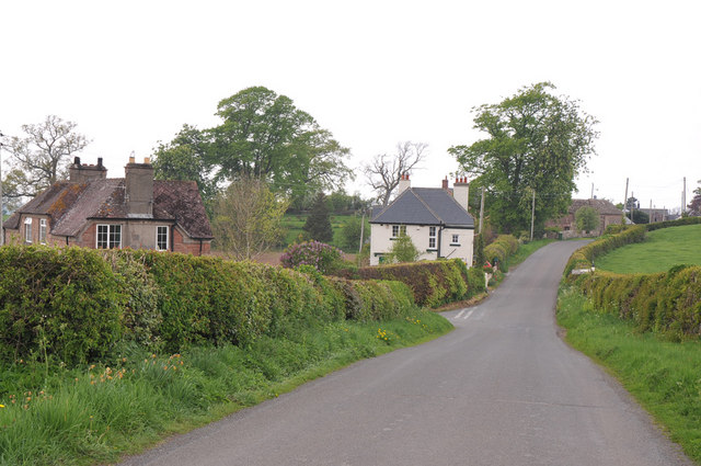
See also: ![]() Historic Buildings and Monuments in Dalston Civil Parish. Note: listed buildings are generally the responsibility of the county council / unitary authority, rather than the parish council.
Historic Buildings and Monuments in Dalston Civil Parish. Note: listed buildings are generally the responsibility of the county council / unitary authority, rather than the parish council.
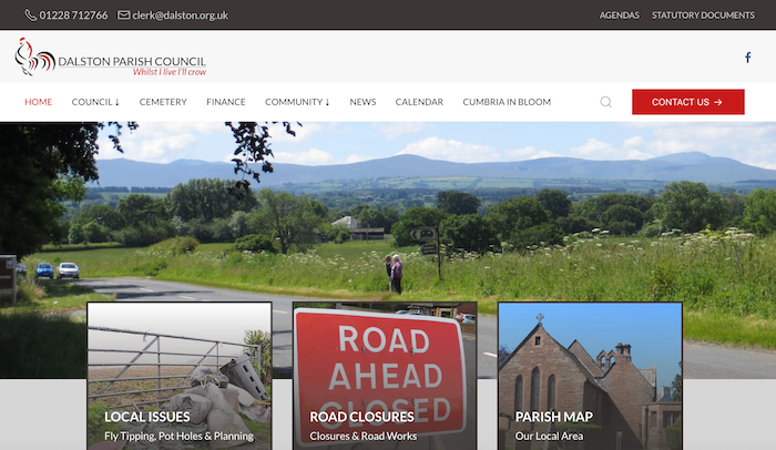
from https://www.dalston.org.uk/
Dalston Parish Council
- "Dalston parish is one of the larger ones in Cumbria with a population of 2590 (2011 census results) and covers a geographical area of about 11,900 acres (4,822 hectares). The …
Added by
Edmund Anon
Co-Curate Page
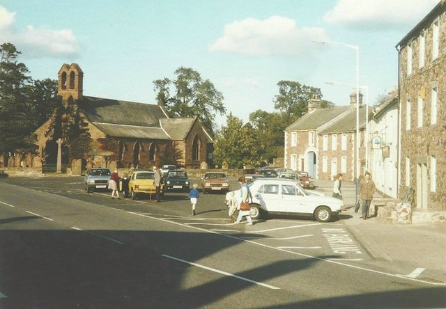
Dalston
- Overview About Dalston Map Street View Dalston is a village in the City of Carlisle district of Cumbria, located by the River Caldew and about 4 miles south-west of the …
Co-Curate Page
Buckabank
- BUCKHOW-BANK, a township, in the parish of Dalston, union of Carlisle, ward, and E. division of the county, of Cumberland, 5½ miles (S. S. W.) from Carlisle; containing 636 inhabitants. …
Co-Curate Page
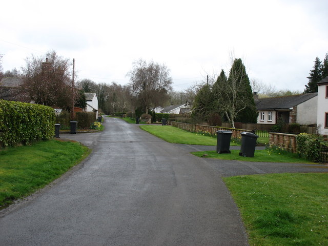
Raughton Head
- Overview About Raughton Head Map Street View Raughton Head is a hamlet in Cumbria, located about 3 miles south of Dalston and 6 miles south of the centre of Carlisle. …
Co-Curate Page
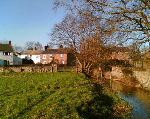
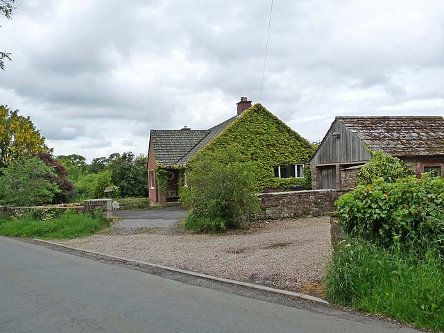
Hawksdale
- Overview Map Street View Hawksdale is a distributed hamlet in the City of Carlisle district of Cumbria, located by the River Caldew and about 1½ miles south of the village …
Co-Curate Page
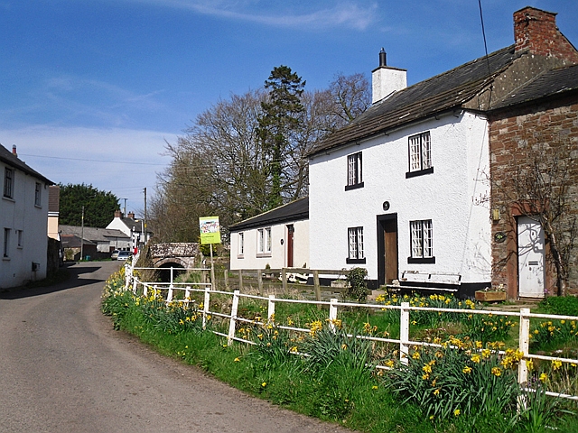
Stockdalewath
- Overview About Stockdalewath Map Street View Stockdalewath is a village in the City of Carlisle district of Cumbria, situated by the River Roe and located about 6 miles south of …
Co-Curate Page
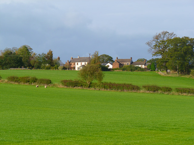
Cumdivock
- Overview Map Street View Cumdivock is a hamlet in the City of Carlisle district of Cumbria, located about 5 miles south-west of the centre of Carlisle and 1½ miles from the …

from https://www.dalston.org.uk/
Dalston Parish Council
- "Dalston parish is one of the larger ones in Cumbria with a population of 2590 (2011 census results) and covers a geographical area of about 11,900 acres (4,822 hectares). The …
Added by
Edmund Anon
Co-Curate Page
Dalston
- Overview About Dalston Map Street View Dalston is a village in the City of Carlisle district of Cumbria, located by the River Caldew and about 4 miles south-west of the …
Co-Curate Page
Buckabank
- BUCKHOW-BANK, a township, in the parish of Dalston, union of Carlisle, ward, and E. division of the county, of Cumberland, 5½ miles (S. S. W.) from Carlisle; containing 636 inhabitants. …
Co-Curate Page
Raughton Head
- Overview About Raughton Head Map Street View Raughton Head is a hamlet in Cumbria, located about 3 miles south of Dalston and 6 miles south of the centre of Carlisle. …
Co-Curate Page
Hawksdale
- Overview Map Street View Hawksdale is a distributed hamlet in the City of Carlisle district of Cumbria, located by the River Caldew and about 1½ miles south of the village …
Co-Curate Page
Stockdalewath
- Overview About Stockdalewath Map Street View Stockdalewath is a village in the City of Carlisle district of Cumbria, situated by the River Roe and located about 6 miles south of …


