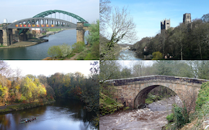
Topics > Geography > Rivers > River Wear > Chester Burn (aka Cong Burn)
Chester Burn (aka Cong Burn)
Chester Burn (also know as Cong Burn) is a tributary of the River Wear. The burn flows through Chester-le-Street, where it joins the River Wear. Burn had been culverted under the Market Place at Cherster-le-Street in 1962. But after the floods in 2012 this was identified as the key cause. A £6.2m flood prevention scheme (funded by Durham County Council, Environment Agency, and the EU Regional Development Fund) uncovered sections of burn and built flood walls to increase capacity of the burn in the event of exceptional rainfall.
Co-Curate Page
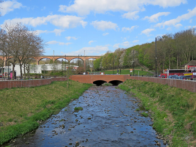
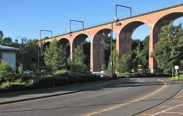
Railway Viaduct over Chester Burn
- Overview Map Street View The red brick railway viaduct over North Burns (road), to the west of the Market Place, is an important feature of the townscape of Chester-le-Street. The …

from https://environment.data.gov.…
Cong Burn from Twizell Burn to Wear Water Body
Added by
Simon Cotterill
from https://environment.data.gov.…
Cong Burn from Source to Twizell Burn Water Body
Added by
Simon Cotterill
Co-Curate Page
Burnhope
- Overview About Burnhope Map Street View Burnhope is a village and civil parish in County Durham, England. It is located in the Craghead valley on the opposite side to …
Co-Curate Page
Waldridge
- Overview About Waldridge Map Street View Waldridge is a village in County Durham, just west of Chester-le-Street. Waldridge developed in association with coal mining, particularly Waldridge Colliery. The village costsists …
Co-Curate Page
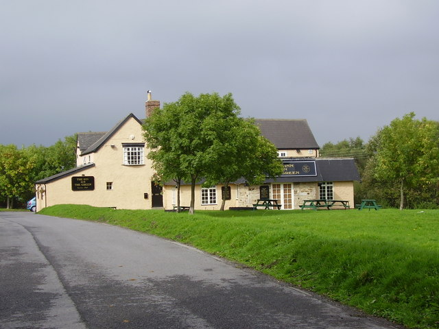
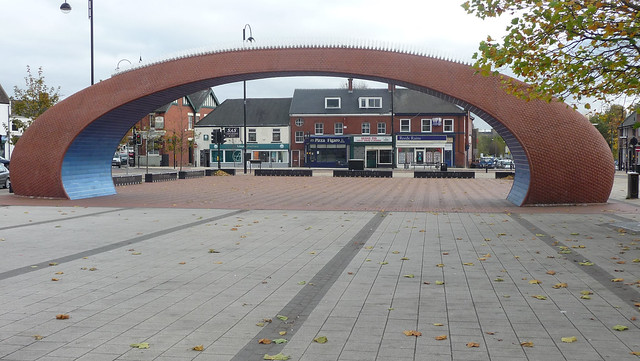
Chester-le-Street
- Overview About Chester-le-Street Map Street View Chester-le-Street is a historic market town in County Durham, located about 4 miles north of Durham (city). It is situated on the River Wear, at …
Co-Curate Page
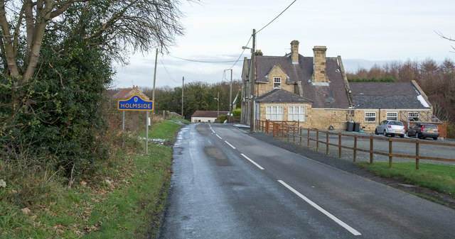
Holmside
- HOLMSIDE, a township, in the parish and union of Lanchester, W. division of Chester ward, N. division of the county of Durham, 7¼ miles (N.W.) from Durham; containing 610 inhabitants. …

Co-Curate Page
Railway Viaduct over Chester Burn
- Overview Map Street View The red brick railway viaduct over North Burns (road), to the west of the Market Place, is an important feature of the townscape of Chester-le-Street. The …
from https://environment.data.gov.…
Cong Burn from Twizell Burn to Wear Water Body
Added by
Simon Cotterill
from https://environment.data.gov.…
Cong Burn from Source to Twizell Burn Water Body
Added by
Simon Cotterill
Co-Curate Page
Burnhope
- Overview About Burnhope Map Street View Burnhope is a village and civil parish in County Durham, England. It is located in the Craghead valley on the opposite side to …
Co-Curate Page
Waldridge
- Overview About Waldridge Map Street View Waldridge is a village in County Durham, just west of Chester-le-Street. Waldridge developed in association with coal mining, particularly Waldridge Colliery. The village costsists …
Co-Curate Page
Chester-le-Street
- Overview About Chester-le-Street Map Street View Chester-le-Street is a historic market town in County Durham, located about 4 miles north of Durham (city). It is situated on the River Wear, at …