Topics > County Durham > Burnhope

Burnhope


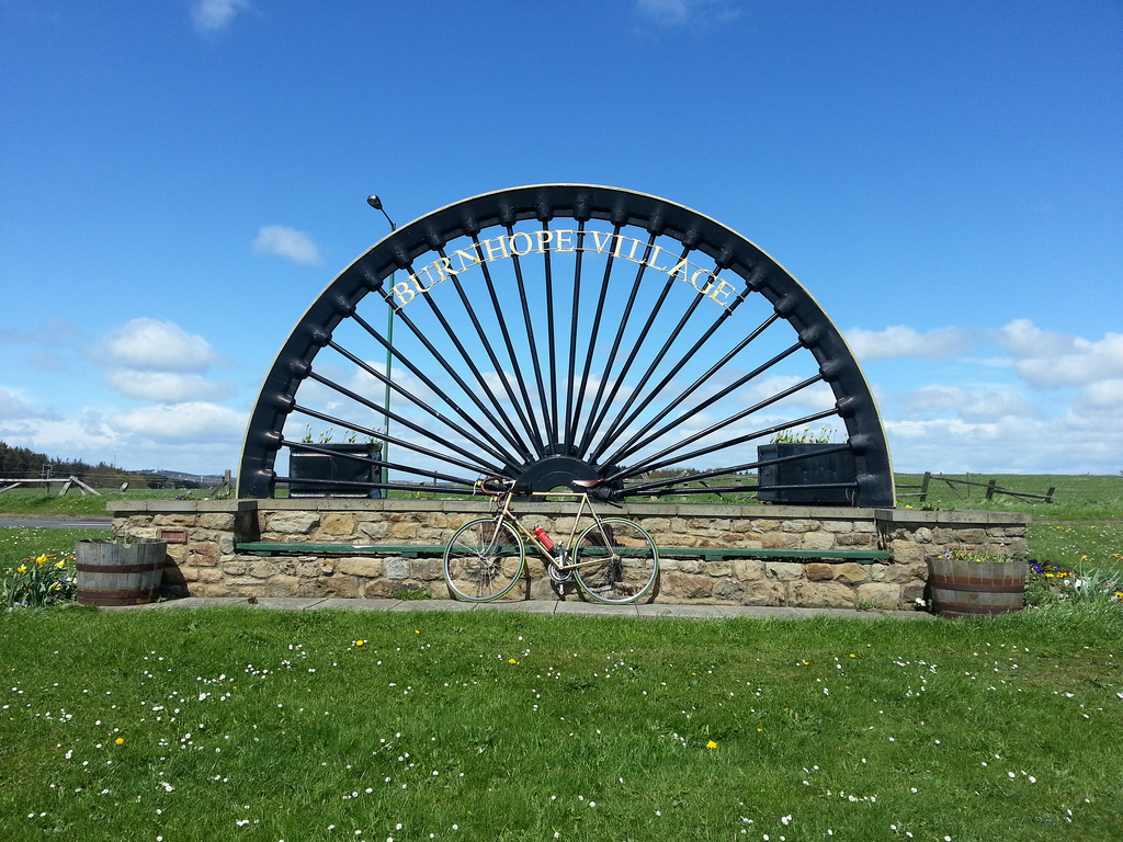
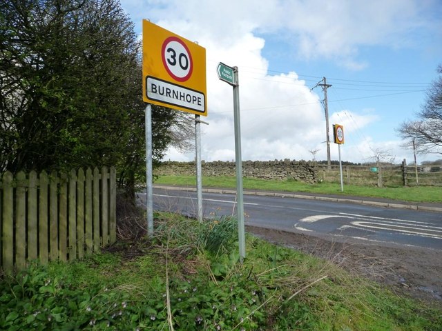
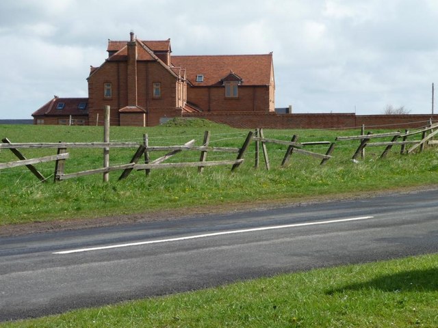
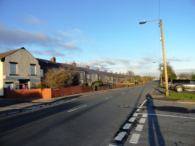
Burnhope is a village and civil parish in County Durham, England. It is located in the Craghead valley on the opposite side to Stanley and has 1,564 inhabitants, as measured in the 2011 census.

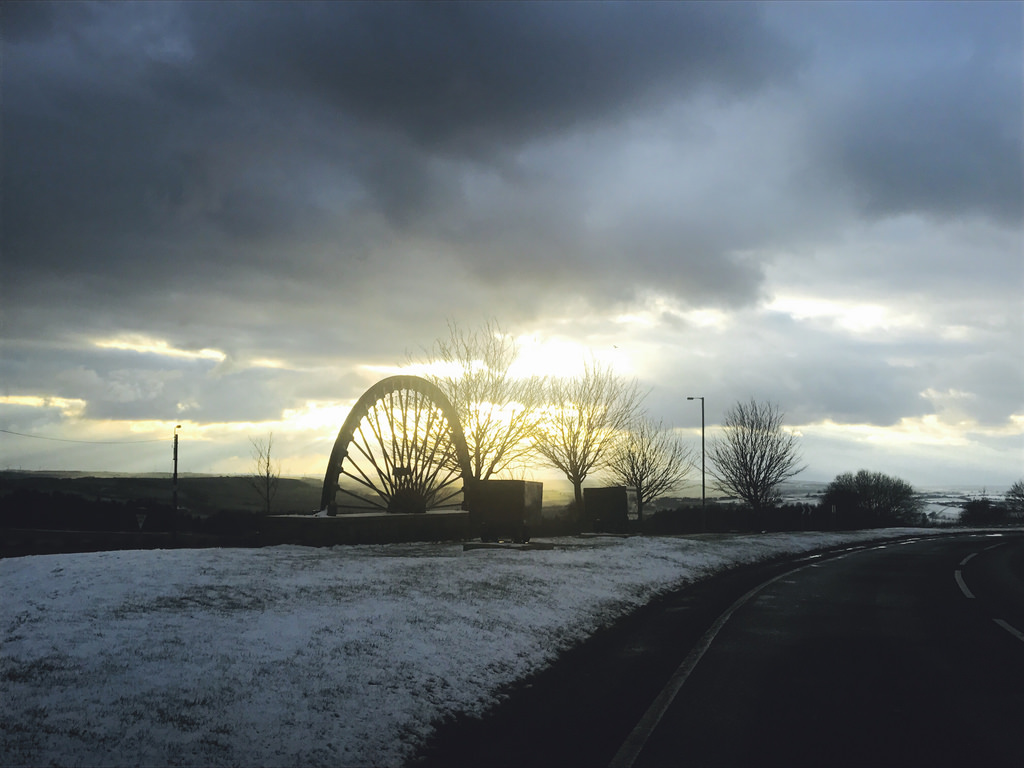
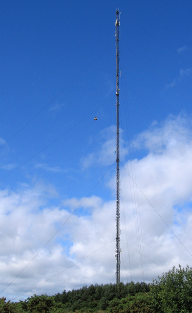
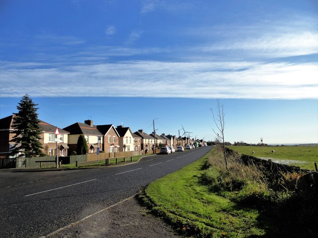
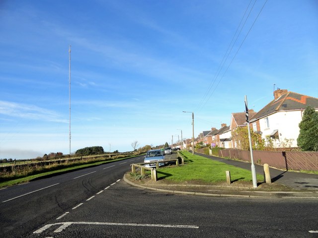
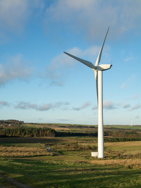
Burnhope is a village of contrasts, being home to many of the area's poorest and richest people (among them, children's author Terry Deary). In 2003 two wind turbines were erected in a field between the village and nearby Craghead, creating a new landmark to accompany the transmission mast. Burnhope is the only place that the Durham Miners' Gala has been held apart from Durham. This was in 1926 the year of the General Strike when it was banned at Durham so it was moved to Burnhope. In 1986 a 60th anniversary was held to mark this event.

Two miles south-east are the ruins of Langley Hall, a 16th-century fortified manor house.

Burnhope has increased in size rapidly within the last few years with over 120 new homes being built by developer, Keepmoat Homes.

Burnhope was also the name of a village in upper Weardale, which is further west in County Durham. The village was inundated in the 1930s by the filling of Burnhope Reservoir.

Text from Wikipedia, available under the Creative Commons Attribution-ShareAlike License (accessed: 06/08/2018).
Visit the page: Burnhope for references and further details. You can contribute to this article on Wikipedia.
County Durham Burnhope Civil Parish Chester Burn (aka Cong Burn) Map and Aerial View Burnhope at War Burnhope Colliery (1850 - 1949) Burnhope Primary School Burnhope War Memorial Church of St. John the Evangelist, Burnhope Map and Aerial View
from Flickr (flickr)
Three-wheeling at Burnhope

Pinned by Simon Cotterill
from Flickr (flickr)
Burnhope wheel

Pinned by Simon Cotterill
from Geograph (geograph)
The first and last house in Burnhope

Pinned by Simon Cotterill
from Geograph (geograph)
Cottage in Burnhope

Pinned by Simon Cotterill
from Geograph (geograph)
St John's Church, Burnhope

Pinned by Simon Cotterill
from Geograph (geograph)
Burnhope Hall

Pinned by Simon Cotterill
from Geograph (geograph)
Looking up Holmside Lane

Pinned by Simon Cotterill
from Geograph (geograph)
Footpath to Green Lane

Pinned by Simon Cotterill
from Geograph (geograph)
Entrance to Burnhope

Pinned by Simon Cotterill
from Geograph (geograph)
The first and last house in Burnhope

Pinned by Simon Cotterill
from Geograph (geograph)
Burnhope Radio Mast

Pinned by Simon Cotterill
from Geograph (geograph)
Houses at Fair View, Burnhope

Pinned by Simon Cotterill
from Geograph (geograph)
View along Langley Lane, Burnhope

Pinned by Simon Cotterill
from Geograph (geograph)
Path the woods at Dowfit Hill

Pinned by Simon Cotterill
from Geograph (geograph)
Nature reserve at Burnhope Pond

Pinned by Simon Cotterill
from Geograph (geograph)
The main road through Burnhope

Pinned by Simon Cotterill
from Geograph (geograph)
Burnhope Pond and Nature Reserve

Pinned by Simon Cotterill
from Geograph (geograph)
Burnhope Pond Plantation

Pinned by Simon Cotterill
from Geograph (geograph)
Pavilion Terrace, Burnhope

Pinned by Simon Cotterill
from Geograph (geograph)
Wind turbine of Langley Wind Farm

Pinned by Simon Cotterill

Comments

Add a comment or share a memory.

Login to add a comment. Sign-up if you don't already have an account.


ABOUT US

Co-Curate is a project which brings together online collections, museums, universities, schools and community groups to make and re-make stories and images from North East England and Cumbria. Co-Curate is a trans-disciplinary project that will open up 'official' museum and 'un-officia'l co-created community-based collections and archives through innovative collaborative approaches using social media and open archives/data.

LATEST SHARED RESOURCES