Topics > Northumberland > Civil Parishes in Northumberland > Tillside Parish Council area > Chatton Parish, 1848
Chatton Parish, 1848
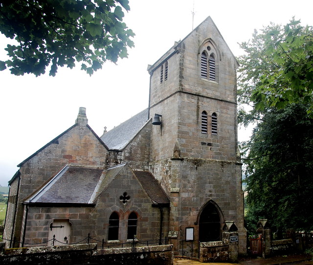
CHATTON (Holy Cross), a parish, in the union of Glendale, E. division of Glendale ward, N. division of Northumberland, 4 miles (E.) from Wooler, on the road to Belford; containing 1,725 inhabitants. This parish, which is intersected by the river Till, comprises by measurement 15,830 acres, whereof 7,035 are arable, 8,311 pasture, and 484 woodland. It abounds with limestone and coal, the working of which affords employment to a considerable number of the population; the latter is chiefly for home consumption. Clay of good quality is found for the making of bricks and tiles, which is carried on to a moderate extent; and there are several quarries of freestone of excellent quality for building. A large fair is held at Weetwood Bank, on the third Tuesday in May, for all kinds of stock, and also for cloth, shoes, hardware, and various other articles. The living is a vicarage, valued in the king's books at £12. 16. 0½.; net income, £198; patron, the Duke of Northumberland; impropriators, the Earl of Tankerville and others. The church was rebuilt about 1763. A curious stone coffin was discovered in the churchyard a few years since, while digging a grave, and has been placed in the chancel of the church; it contained some human bones, pieces of armour, and a coin of Robert Bruce. There are vestiges of encampments in various parts of the parish; and numerous fossils are found in the limestone-quarries.
Extract from: A Topographical Dictionary of England comprising the several counties, cities, boroughs, corporate and market towns, parishes, and townships..... 7th Edition, by Samuel Lewis, London, 1848.

from https://openlibrary.org/books…
A topographical dictionary of England, Samuel Lewis, 7th Ed., 1848
- A topographical dictionary of England
comprising the several counties, cities, boroughs, corporate and market towns, parishes, and townships, and the islands of Guernsey, Jersey, and Man, with historical and statistical …
Added by
Simon Cotterill
Co-Curate Page
Chatton
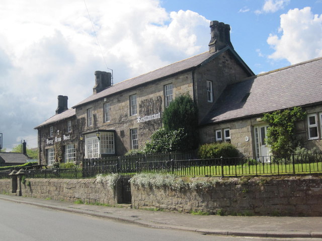
- Overview About Chatton Map Street View Chatton is a village in Northumberland, in England. It is roughly 6km to the east of Wooler. History A rock overhang at nearby …
Co-Curate Page
Lyham
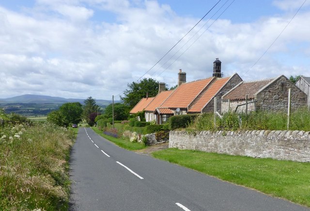
- The hamlets of Old Lyham, North Lyham, South Lyham, and West Lyham are located by Lyham Moor in Northumberland, about 3 miles south-west of Belford and 5 miles north-east of …
Co-Curate Page
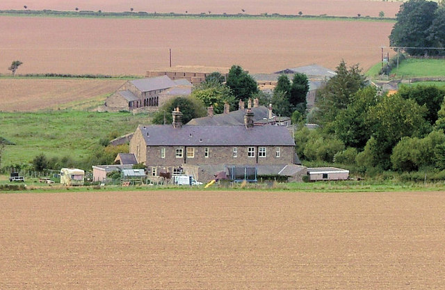
Hazlerigg
- Overview Map Street View South Hazlerigg, Hazlerigg Mill and North Hazlerigg are farms / hamlets, which are located roughly 5 miles north-east of Wooler and 3 miles north of the …
Co-Curate Page
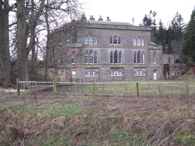
Fowberry
- Overview Map Street View Fowberry is a hamlet situated by the River Till in Northumberland, located about 3 miles east of Wooler and a mile north-west of Chatton. There was …


from https://openlibrary.org/books…
A topographical dictionary of England, Samuel Lewis, 7th Ed., 1848
- A topographical dictionary of England
comprising the several counties, cities, boroughs, corporate and market towns, parishes, and townships, and the islands of Guernsey, Jersey, and Man, with historical and statistical …
Added by
Simon Cotterill

Co-Curate Page
Chatton
- Overview About Chatton Map Street View Chatton is a village in Northumberland, in England. It is roughly 6km to the east of Wooler. History A rock overhang at nearby …

Co-Curate Page
Lyham
- The hamlets of Old Lyham, North Lyham, South Lyham, and West Lyham are located by Lyham Moor in Northumberland, about 3 miles south-west of Belford and 5 miles north-east of …

Co-Curate Page
Hazlerigg
- Overview Map Street View South Hazlerigg, Hazlerigg Mill and North Hazlerigg are farms / hamlets, which are located roughly 5 miles north-east of Wooler and 3 miles north of the …

