Topics > Transport and Travel > Carlisle Canal
Carlisle Canal
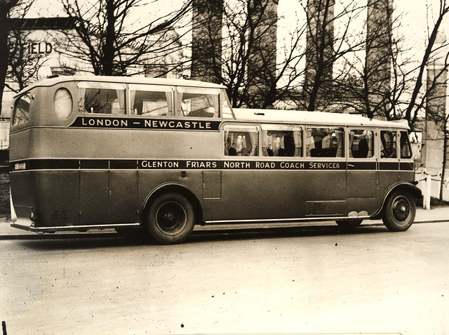
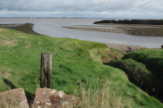
The Carlisle Canal was an 11¼ mile long waterway built from 1819-1823, to connect Carlisle to the Solway Firth at Port Carlisle. It was built to provide Carlisle with sea access for trade with Ireland, Scotland, and Liverpool. The canal company was created by Act of Parliament; the Carlisle Canal Act 1819 (59 Geo. 3. c. xiii), passed in April 1819. The completed canal included a sea lock, basins, and seven other locks, accommodating vessels up to 100 tons. The canal was officially opened, with a grand parade of boats, on the 12th March, 1823.
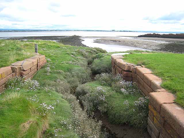
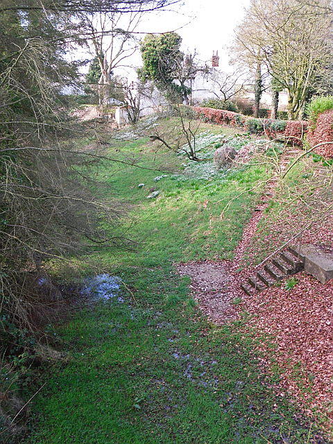
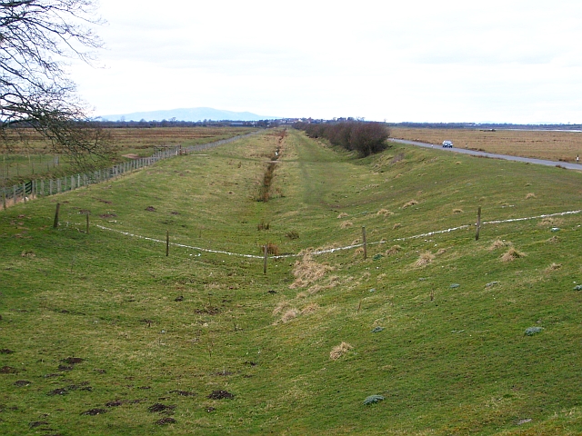
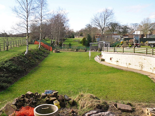
However, the canal was relatively short-lived because of the advent of the railway. The canal closed in 1853, to be replaced by the Port Carlisle Railway. The railway used much of the canal's route. The filled canal bed is now a public footpath, with old bridges and other structures still visible, after the railway branch closed. It appears on OS maps as a dismantled railway. The Hadrian's Way Path follows the footpath for some of its route.
from Geograph (geograph)
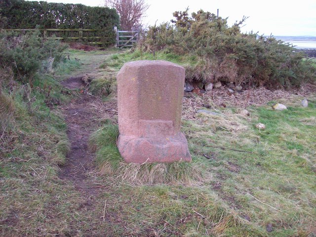
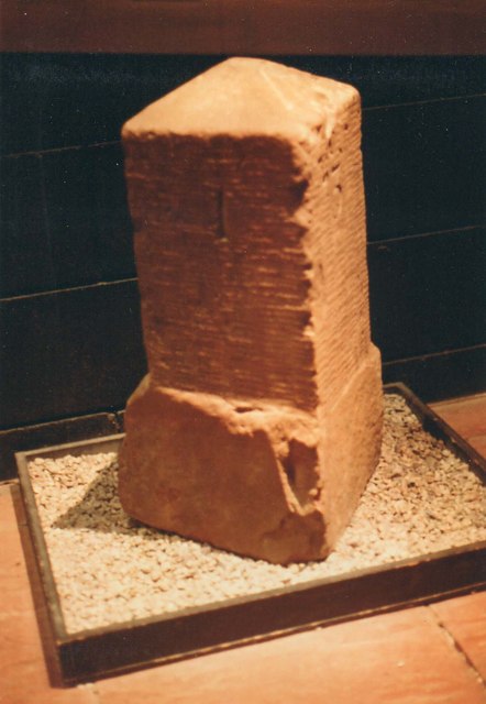
Old milemarker from the Carlisle Canal, in Tullie House Museum.
Pinned by Simon Cotterill

from Geograph (geograph)
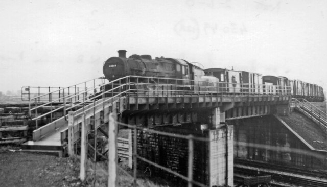
Down freight on Waverley Route crossing WCML at Kingmoor, Carlisle
Pinned by Simon Cotterill
Co-Curate Page
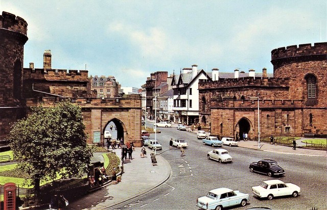
Port Carlisle
- Overview Map Street View Port Carlisle is a coastal village on the Solway Firth in Cumbria, located about 1 mile east of Bowness-on-Solway and 10 miles north-west of Carlisle. It …

Co-Curate Page
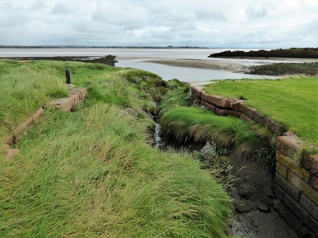
Canal Aqueduct, west of Boustead Hill
- Overview Map Street View This old red brick bridge, west of Boustead Hill by the Solway Firth, was originally an aqueduct for the Carlisle Canal, built 1819-1823. It has two …


Co-Curate Page
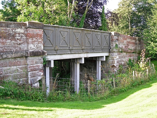
Glasson Bridge
- Overview Map Street View The bridge in Glasson was originally built to carry the road over the Carlisle Canal, which was built 1819-1823. After the canal closed and was replaced …
Co-Curate Page
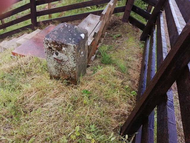
Canal Mile Marker, Boustead Hill
- Overview Map Street View There is an old Mile Marker at the north of Boustead Hill, which is a remider that the Carlisle Canal once passed here. The canal closed …


Co-Curate Page
Dykesfield Bridge
- Overview Map Street View The bridge in Dykesfield was originally built as a draw-bridge to carry the road to Longburgh over the Carlisle Canal, which was built 1819-1823. After the …

from Geograph (geograph)
Old milemarker from the Carlisle Canal, in Tullie House Museum.
Pinned by Simon Cotterill
from Geograph (geograph)
Down freight on Waverley Route crossing WCML at Kingmoor, Carlisle
Pinned by Simon Cotterill
Co-Curate Page
Port Carlisle
- Overview Map Street View Port Carlisle is a coastal village on the Solway Firth in Cumbria, located about 1 mile east of Bowness-on-Solway and 10 miles north-west of Carlisle. It …
Co-Curate Page
Canal Aqueduct, west of Boustead Hill
- Overview Map Street View This old red brick bridge, west of Boustead Hill by the Solway Firth, was originally an aqueduct for the Carlisle Canal, built 1819-1823. It has two …
Co-Curate Page
Glasson Bridge
- Overview Map Street View The bridge in Glasson was originally built to carry the road over the Carlisle Canal, which was built 1819-1823. After the canal closed and was replaced …
Co-Curate Page
Canal Mile Marker, Boustead Hill
- Overview Map Street View There is an old Mile Marker at the north of Boustead Hill, which is a remider that the Carlisle Canal once passed here. The canal closed …