Port Carlisle


-
Description
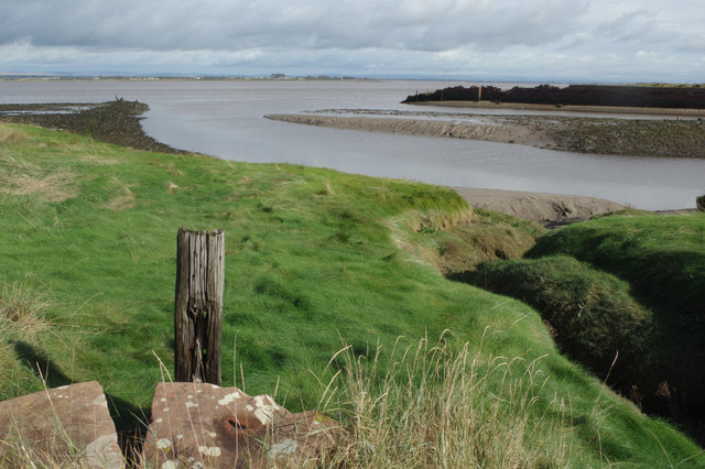
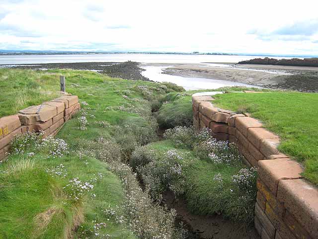
"For a period in the 19th century Port Carlisle was a thriving port - the highest point on the Solway Firth reachable by 100 ton ships. To provide a connection to Carlisle itself a canal was built; the remains of the lock structure can be seen here in the foreground. However, by the 1870s - even though by then the canal had been replaced by a railway - the port had fallen into disuse ." Photo by Stephen McKay, 2014. -
Owner
Stephen McKay -
Source
Geograph (Geograph) -
License
What does this mean? Creative Commons License
-
Further information
Link: http://www.geograph.org.uk/photo/4207151
Resource type: Image
Added by: Simon Cotterill
Last modified: 3 years ago
Viewed: 537 times
Picture Taken: 2014-10-04 -
Co-Curate tags


