Topics > Cumbria > Penrith > Brougham Castle Bridge
Brougham Castle Bridge
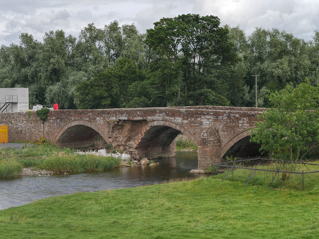
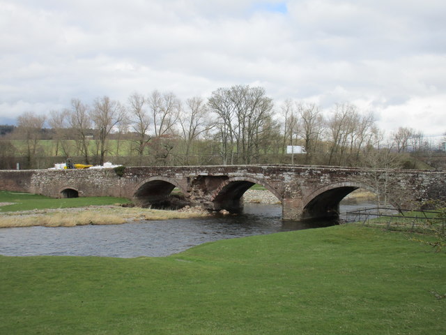
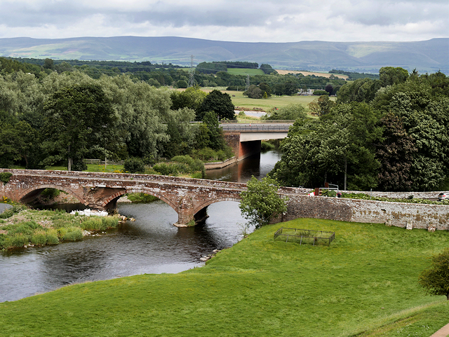
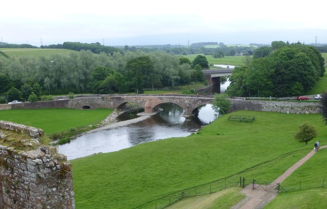
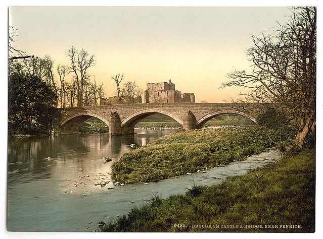
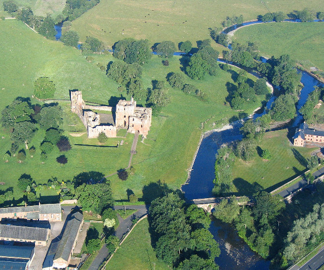
The red sandstone bridge over the River Eamont, near Brougham Castle, was built in 1813. The bridge, near Penrith, was built to carry the Penrith-Appleby turnpike road over the River Eamont, and is located on the former boundary between Westmorland and Cumberland. The bridge is Grade II listed.[1]
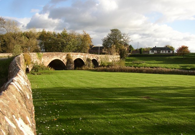
from Geograph (geograph)
Brougham Castle Bridge, Carleton, Penrith / Brougham
Pinned by Simon Cotterill

from https://historicengland.org.u…
BROUGHAM CASTLE BRIDGE - List Entry
- "Roadbridge. Dated on centre of parapet 1813. Red Penrith sandstone. 3 segmental arches with recessed voussoirs on rounded cutwaters. Solid chamfered parapet. A broad County Council bridge on the Penrith-Appleby …
Added by
Simon Cotterill
Co-Curate Page
Brougham
- Overview About Brougham Map Street View Brougham is a dispersed hamlet, located just over a mile south-east of Penrith Cumbria. There are are a number of farms in the area …
Co-Curate Page
River Eamont
- Overview About the River Eamont The River Eamont is a river which forms from the outflow from Ullswater (lake) in Cumbria. It is one of the major tributaries of the …


from Geograph (geograph)
Brougham Castle Bridge, Carleton, Penrith / Brougham
Pinned by Simon Cotterill

from https://historicengland.org.u…
BROUGHAM CASTLE BRIDGE - List Entry
- "Roadbridge. Dated on centre of parapet 1813. Red Penrith sandstone. 3 segmental arches with recessed voussoirs on rounded cutwaters. Solid chamfered parapet. A broad County Council bridge on the Penrith-Appleby …
Added by
Simon Cotterill

Co-Curate Page
Brougham
- Overview About Brougham Map Street View Brougham is a dispersed hamlet, located just over a mile south-east of Penrith Cumbria. There are are a number of farms in the area …

