Topics > Civil Parishes in Cumbria > Bromfield Civil Parish
Bromfield Civil Parish
Parish boundaries may have changed - for the latest map see the Parish Council or Cumbria County Council.
About the Parish
| Main Settlements: |
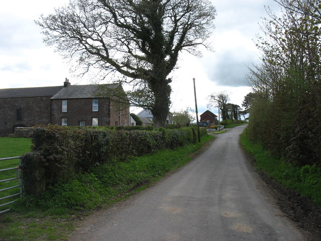
Bromfield (village), Blencogo, Langrigg, Crookdake, High Scales |
| Population: |
555 (2021 Census) 510 (2011 Census) 530 (2001 Census) |
| Area: | 25.9 km2 |
| Parish Council: | Bromfield Parish Council |
| Unitary Authority: | Cumberland Council |
| Ceremonial County: | Cumbria |
Historical |
|
|
Ancient Townships (in modern CP area) |
Bromfield with Crookdake and Scales Township Langrigg with Mealrigg Township Townships became civil parishes in their own right in 1866 (see below). |
| Ancient Parish: |
The ancient parish covered a much wider area than todays Bromfield Civil Parish. It included the chapelry of Allonby, and the townships of Blencogo, Dundraw with Kelsick, Langrigg with Mealrigg, and West Newton. Ancient parishes refer to the parishes before the split between ecclesiastical (church) and civil parishes in the 19th century. They had a parish church and often were composed of multiple townships and chapelries. In many cases, townships and parishes were originally based on the territory of manors from the feudal system during medieval times. Civil parishes were created following the Poor Law Amendment Act 1866, in which Church of England parishes, extra-parochial areas, townships and chapelries, became "civil parishes" which could set their own poor rate (tax). Then the reforms of Local Government Act 1894 established elected civil parish councils (or parish meetings for parishes with less than 300 residents) and created urban and rural districts. Boundaries of parishes and civil parishes may have changed over time. |
| Ancient Districts: |
Mostly in Allerdale below Derwent (ward) Partly in Cumberland (ward) |
| Poor Law Union: |
Wigton Poor Law Union, formed in 1836. Wigton Union Workhouse was located on Cross Street, Wigton, which was built in 1842 to house up to 250 inmates. Prior to that there had been smaller workhouses in Caldbeck, Oulton, Glasson, and Wigton. Under the Poor Law Amendment Act of 1834 parishes were grouped into Unions, each of which had to build a workhouse if they did not already have one. It ended the old system of locally provided poor relief which had come under strain as numbers out of work grew, following increasing mechanisation of agriculture and the economic downturn after the Napoleonic Wars, along with changing social attitudes. The workhouse provided those unable to support themselves financially with accommodation and work. Inmates were generally segregated into men, women, boys and girls. The workhouse system was abolished by the Local Government Act 1929, but many workhouses lived on as ‘Public Assistance Institutions’ until the National Assistance Act 1948. |
| Major Boundary Change: |
In 1934 Bromfield Civil Parish was enlarged by the abolition of: Langrigg with Mealrigg Civil Parish (1866 - 1934) Blencogo Civil Parish (1866 - 1934) |
| County: |
Cumberland, until 1974, then: Cumbria, which was created on the 1st of April 1974, following the Local Government Act 1972. The new county absorbed Cumberland and Westmorland, and added some parts of Lancashire and the West Riding of Yorkshire. Cumbria County Council was abolished in 2023 and replaced by 2 new Unitary authorities. Cumbria remains a ceremonial county; retaining ceremonial boundary and the roles and responsibilities of the Lord Lieutenant and High Sheriff of Cumbria - based on 'The Cumbria (Structural Changes) Order 2022'. |
|
District Council: |
Wigton Rural District (1894 - 1974) Allerdale Borough (1974 - 2023) Created by the Local Government Act 1972. Allerdale absorbed the former municipal borough of Workington; the urban districts of Maryport, Cockermouth and Keswick; and the rural districts of Cockermouth and Wigton. Allerdale and the 5 other district councils of Cumbria, along with the county council, were abolished as part of local government reorganisation in 2023; and replaced by two unitary authorities on 1st April 2023. |
|
Unitary Authority: |
Cumberland Council was created on the 1st April 2023. The 'new' Cumberland unitary authority area includes most of the historic county, with the exception of Penrith and it's surrounding area, which is part the 'new' Westmorland and Furness unitary authority. |
See also: ![]() Historic Buildings and Monuments in Bromfield Civil Parish. Note: listed buildings are generally the responsibility of the county council / unitary authority, rather than the parish council.
Historic Buildings and Monuments in Bromfield Civil Parish. Note: listed buildings are generally the responsibility of the county council / unitary authority, rather than the parish council.
from http://www.blencogo.com/bromf…
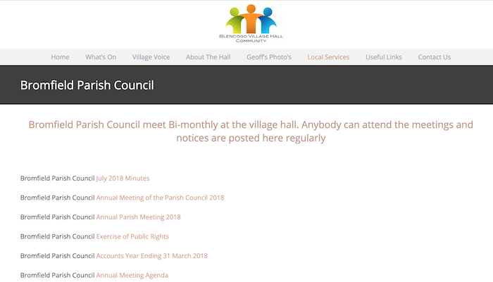
Bromfield Parish Council
- "Bromfield Parish Council meet Bi-monthly at the village hall. Anybody can attend the meetings and notices are posted here regularly...."
Added by
Simon Cotterill
Co-Curate Page
Bromfield
- Overview About Bromfield Map Street View Bromfield is a village in the Allerdale district of Cumbria, located about 5 miles west of Wigton and 4 miles north-east of Aspatria. The …
Co-Curate Page
Blencogo
- Overview About Blencogo Map Street View Blencogo is a small farming village in the Allerdale district of Cumbria, located just over 3 miles west of Wigton. The Village Hall and …
Co-Curate Page
Langrigg
- Overview About Langrigg Map Street View Langrigg is a hamlet in the Allerdale district of Cumbria, located about 6 miles south-west of Wigton and 3 miles north-east of Aspatria. It …

from https://www.cumbriacountyhist…
Bromfield
- "Township in Bromfield parish, Allerdale below Derwent ward, Cumberland. Enlarged by absorption of Blencogo and Langrigg & Mealrigg CPs 1934....township contained two manors. Manor of Bromfield was granted to Holme …
Added by
Simon Cotterill

Co-Curate Page
Crookdake
- Overview Map Street View Crookdake is a distributed hamlet in the Allerdale district of Cumbria, located about 5 miles south-west of Wigton and 3 miles north-east of Aspatria. The old …

Co-Curate Page
Sandraw
- Sandraw is a farm / hamlet near High Scales in Bromfield Civil Parish, Cumbria.

from http://www.blencogo.com/bromf…
Bromfield Parish Council
- "Bromfield Parish Council meet Bi-monthly at the village hall. Anybody can attend the meetings and notices are posted here regularly...."
Added by
Simon Cotterill
Co-Curate Page
Bromfield
- Overview About Bromfield Map Street View Bromfield is a village in the Allerdale district of Cumbria, located about 5 miles west of Wigton and 4 miles north-east of Aspatria. The …
Co-Curate Page
Blencogo
- Overview About Blencogo Map Street View Blencogo is a small farming village in the Allerdale district of Cumbria, located just over 3 miles west of Wigton. The Village Hall and …
Co-Curate Page
Langrigg
- Overview About Langrigg Map Street View Langrigg is a hamlet in the Allerdale district of Cumbria, located about 6 miles south-west of Wigton and 3 miles north-east of Aspatria. It …
from https://www.cumbriacountyhist…
Bromfield
- "Township in Bromfield parish, Allerdale below Derwent ward, Cumberland. Enlarged by absorption of Blencogo and Langrigg & Mealrigg CPs 1934....township contained two manors. Manor of Bromfield was granted to Holme …
Added by
Simon Cotterill
Co-Curate Page
Crookdake
- Overview Map Street View Crookdake is a distributed hamlet in the Allerdale district of Cumbria, located about 5 miles south-west of Wigton and 3 miles north-east of Aspatria. The old …


