Topics > Civil Parishes in Cumbria > Bromfield Civil Parish > Bromfield Parish, 1848
Bromfield Parish, 1848
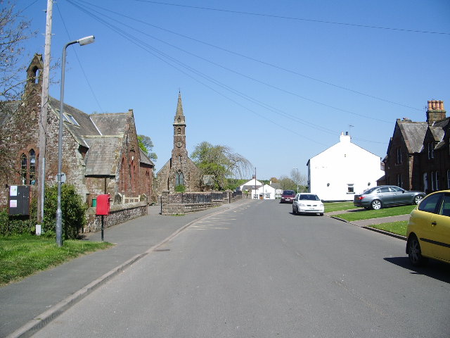
BROMFIELD (St. Kentigern), a parish, in the union of Wigton, partly in Cumberland ward, E. division, but chiefly in Allerdale ward below Derwent, W. division, of Cumberland; comprising the chapelry of Allonby, and the townships of Blencogo, Dundraw with Kelsick, Langrigg with Mealrigg, and West Newton; and containing 2,312 inhabitants, of whom 364 are in the township of Bromfield with Crookdake and Scales, 6 miles (W. by S.) from Wigton. It is situated on the shore of the Solway Firth. The living is a vicarage, endowed with part of the rectorial tithes, and valued in the king's books at £22; net income, £270; patron, the Bishop of Carlisle; impropriator of the remainder of the great tithes, Sir Henry Fletcher, Bart. The tithes were commuted for land in 1817. There is a separate incumbency at Allonby. A free school, in the churchyard, was founded by Richard Osmotherly in 1612, and endowed with £10 a year: this was subsequently augmented by a donation of £100 from the family of Tomlinson; and in 1805, Mr. Tomlinson bequeathed £1400, one-fourth of which was assigned to the school. In a field belonging to the vicar, the site of Mungo Castle is visible.
Extract from: A Topographical Dictionary of England comprising the several counties, cities, boroughs, corporate and market towns, parishes, and townships..... 7th Edition, by Samuel Lewis, London, 1848.

Co-Curate Page
Allonby, 1848
- ALLONBY, a chapelry, in the parish of Bromfield, union of Wigton, Allerdale ward below Derwent, W. division of Cumberland, 9 miles (N.N.W.) from Cockermouth; containing 811 inhabitants. The village, comprising …
Co-Curate Page
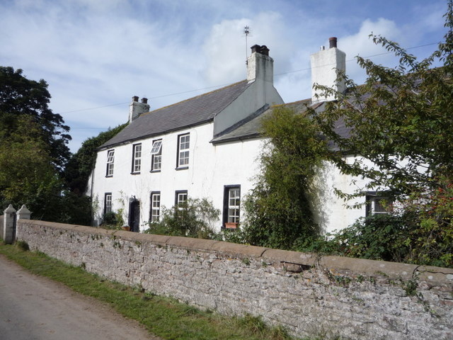
Langrigg
- Overview About Langrigg Map Street View Langrigg is a hamlet in the Allerdale district of Cumbria, located about 6 miles south-west of Wigton and 3 miles north-east of Aspatria. It …
Co-Curate Page
Blencogo Township, 1848
- BLENCOGO, a township, in the parish of Bromfield, union of Wigton, Cumberland ward, E. division of Cumberland, 4½ miles (W. by S.) from Wigton; containing 211 inhabitants. The Rev. Jonathan …

from https://www.cumbriacountyhist…
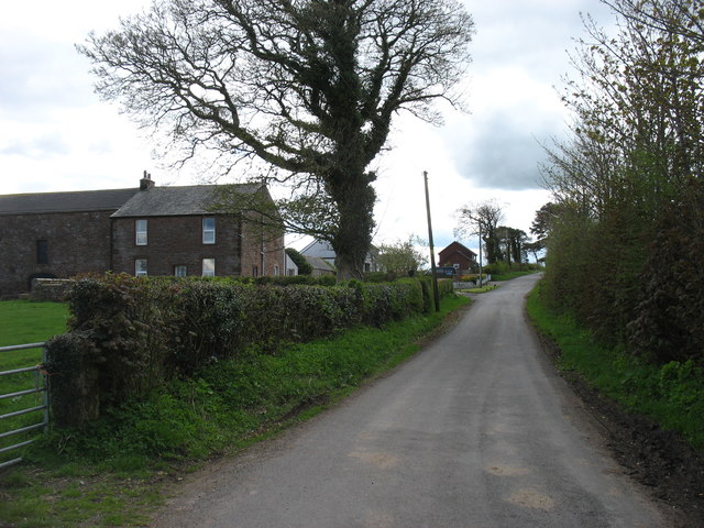
Dundraw Township
- "Township in Bromfield parish, Cumberland ward, Cumberland....part of barony of Wigton. Manor of Dundraw held by Gilbert de Dundraw in late 12th century and passed by descent to Crofton family, …
Added by
Simon Cotterill
Co-Curate Page
Dundraw
- Overview About Dundraw Map Street View DUNDRAW, a township, in the parish of Broomfield, union of Wigton, Cumberland ward, and E. division of the county of Cumberland, 3 miles (W.N.W.) …
Co-Curate Page
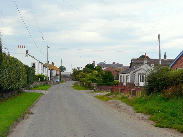
Crookdake
- Overview Map Street View Crookdake is a distributed hamlet in the Allerdale district of Cumbria, located about 5 miles south-west of Wigton and 3 miles north-east of Aspatria. The old …
Co-Curate Page
Westnewton, Cumbria
- Westnewton (formerly West Newton) is a village in Cumberland in the ceremonial county of Cumbria. Westnewton Beck flows westward through the village, with greens on either side. In the village …

Co-Curate Page
Allonby, 1848
- ALLONBY, a chapelry, in the parish of Bromfield, union of Wigton, Allerdale ward below Derwent, W. division of Cumberland, 9 miles (N.N.W.) from Cockermouth; containing 811 inhabitants. The village, comprising …
Co-Curate Page
Langrigg
- Overview About Langrigg Map Street View Langrigg is a hamlet in the Allerdale district of Cumbria, located about 6 miles south-west of Wigton and 3 miles north-east of Aspatria. It …
Co-Curate Page
Blencogo Township, 1848
- BLENCOGO, a township, in the parish of Bromfield, union of Wigton, Cumberland ward, E. division of Cumberland, 4½ miles (W. by S.) from Wigton; containing 211 inhabitants. The Rev. Jonathan …
from https://www.cumbriacountyhist…
Dundraw Township
- "Township in Bromfield parish, Cumberland ward, Cumberland....part of barony of Wigton. Manor of Dundraw held by Gilbert de Dundraw in late 12th century and passed by descent to Crofton family, …
Added by
Simon Cotterill
Co-Curate Page
Dundraw
- Overview About Dundraw Map Street View DUNDRAW, a township, in the parish of Broomfield, union of Wigton, Cumberland ward, and E. division of the county of Cumberland, 3 miles (W.N.W.) …
Co-Curate Page
Crookdake
- Overview Map Street View Crookdake is a distributed hamlet in the Allerdale district of Cumbria, located about 5 miles south-west of Wigton and 3 miles north-east of Aspatria. The old …


