Topics > County Durham > Bolam
Bolam
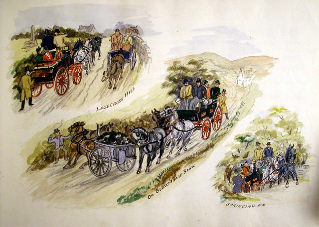
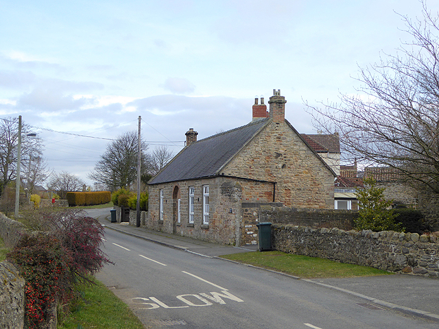
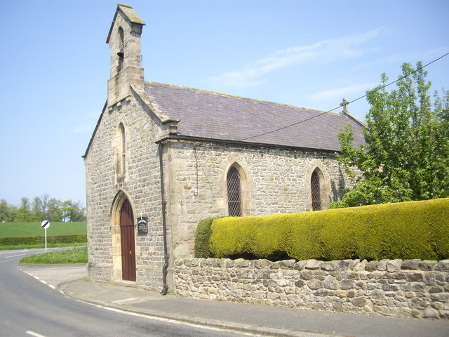
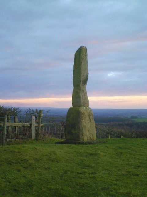
Bolam is a village in County Durham located 6 miles north west of Darlington and 3 miles south of Bishop Auckland. The parish Church of St Andrew here, was built 1835 and is Grade II listed. A school was built in 1854; now converted to a private residence. Legs Cross (a 9th century monument) on Dere Street (road, on the route of a former Roman Road) is located about half a mile east of the village. The village and surrounding area form Bolam Civil Parish.
List of buildings that were evident on the First Edition Ordnance Survey map 1856:
Source: Bolam Conservation Area Appraisal. Durham County Council, March 2010.
| Building | Interest |
| St Andrew's Church | 1835, Grade II listed building |
| Old Vicarage | C17th, Grade II listed building |
| Church Farm | The first house on ancient east side of village |
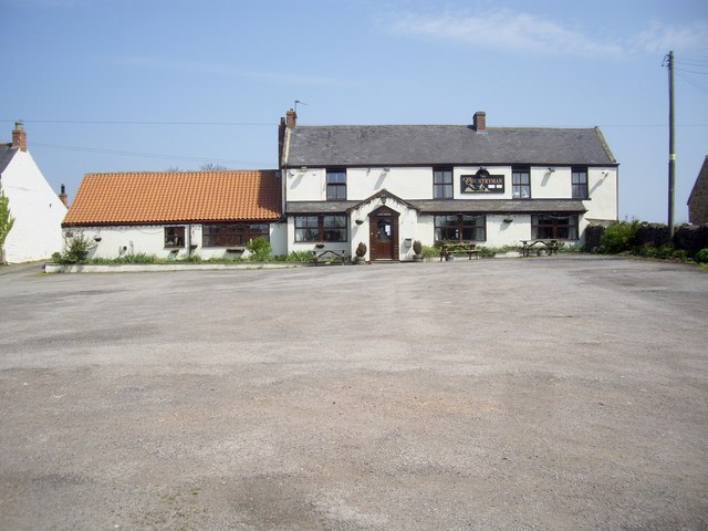
| Countryman Inn | Homestead, Garth & public house |
| Township House | Homestead & Garth |
| West View | Formerly West House Farm |
| Yatima | House & Garden |
| South View | Originally South Farm |
| Ashley | Cottage House |
| Ivy House | On land formerly belonged to Vicarage |
| Killriggs | Homestead & Garth |
| Prospect Cottages | Occupied in 1824 by one of two blacksmiths |
| White House Farm | Homestead & Garth |
| Quarry Cottage | Originally two cottages |
| The Old School | 1854 |
| Prospect House | Farmhouse |
| Prospect Farm | Vernacular farm buildings, highly visible |
| Moresby House | House & Garth over former village green |
| Pear Tree House | House & Garth over former village green |
| Quarry Grange | House & Garth over former village green |
| Wellfield House | House & Garth over former village green |
| Chapel House | House & Garth over former village green |
| Garth Cottage | House & Garth over former village green |
| Chapel Cottage | House & Garth over former village green |
| Chapel Barn | Residential conversion of former barn |
| Boundary Walls | Stone walls throughout |
| Stone Gate Posts | Stone gate posts throughout |
from https://www.durham.gov.uk/med…
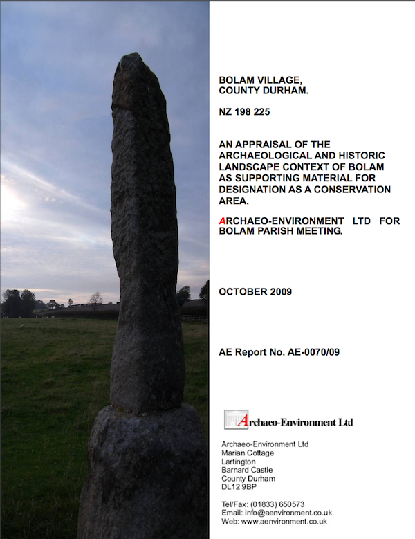
Bolam - Conservation Area Appraisal, March 2010
- "This appraisal was prepared by Durham County Council to
allow an informed decision to be made about the designation
of Bolam as a conservation area and to determine the
boundary. …
Added by
Simon Cotterill
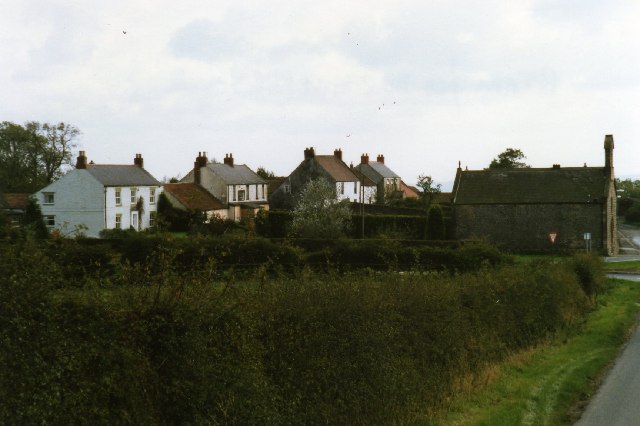
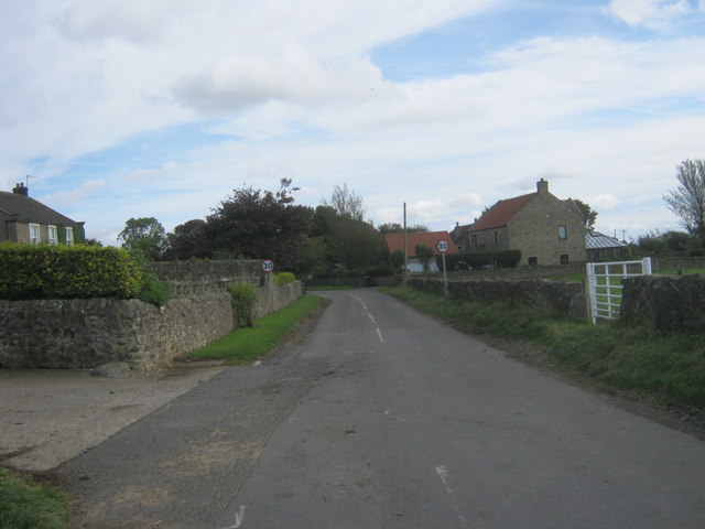
from http://s0.geograph.org.uk/pho…
Bolan village
- Photograph of Bolan village by Vivienne Smith and licensed for reuse under this Creative Commons Licence.
Added by
Simon Cotterill
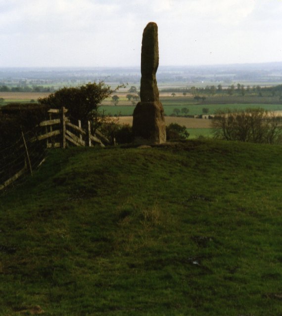
from http://upload.wikimedia.org/w…
Ancient monument at Legs Cross near Bolam Co Durham
- Photograph by Vivienne Smith and published under a Creative Commons CC BY-SA 2.0 licence.
Added by
Simon Cotterill

from http://upload.wikimedia.org/w…
St. Andrew's Church : Bolam Parish Church of Heighington : Built 1835
- Photograph by Hugh Mortime published under the Creative Commons Attribution-Share Alike 2.0 Generic license.
Added by
Simon Cotterill
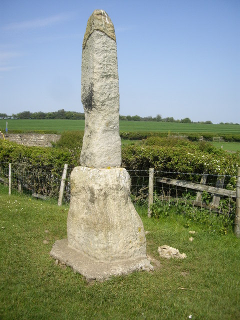
Co-Curate Page
Legs Cross
- Overview Map Street View Near Bolam, County Durham. "The base and fragment of a cross shaft dating from the 9th century. A rough cut rectangular sandstone base, badly worn, but …


from https://www.durham.gov.uk/med…
Bolam - Conservation Area Appraisal, March 2010
- "This appraisal was prepared by Durham County Council to
allow an informed decision to be made about the designation
of Bolam as a conservation area and to determine the
boundary. …
Added by
Simon Cotterill

from http://s0.geograph.org.uk/pho…
Bolan village
- Photograph of Bolan village by Vivienne Smith and licensed for reuse under this Creative Commons Licence.
Added by
Simon Cotterill

from http://upload.wikimedia.org/w…
Ancient monument at Legs Cross near Bolam Co Durham
- Photograph by Vivienne Smith and published under a Creative Commons CC BY-SA 2.0 licence.
Added by
Simon Cotterill

from http://upload.wikimedia.org/w…
St. Andrew's Church : Bolam Parish Church of Heighington : Built 1835
- Photograph by Hugh Mortime published under the Creative Commons Attribution-Share Alike 2.0 Generic license.
Added by
Simon Cotterill

