Topics > Northumberland > Blyth > Blyth Heritage Conservation Area
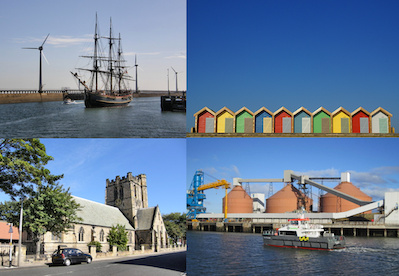
Blyth Heritage Conservation Area
%
Note: Map data from Northumberland County Council c/o Open Data UK, under the Open Government Licence, imported into Google MyMaps, February 2026. Check with NCC for amendments and updates.
Co-Curate Page
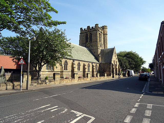
Church of St. Cuthbert
- Overview Map Street View The Church of St. Cuthbert in Blyth, Northumberland was built in 1892. It replaced an earlier church built in 1751; at that time Blyth was part …
Co-Curate Page
Historic Buildings and Monuments in Blyth
- Listed Buildings, Scheduled Monuments and Conservation Areas in Blyth, Northumberland, from the National Heritage List for England. Also including buildings on the 'local list' of non-designated heritage assets. Use the …
Co-Curate Page
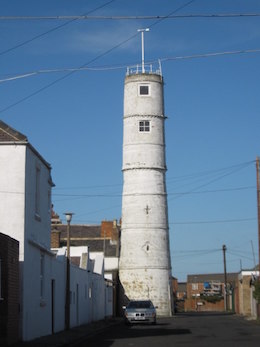
High Light, Lighthouse
- Overview Map Street View The High Light in Blyth was built c.1788 and worked in conjunction with the Low light (rebuilt 1936). It was heightened twice and the light was in …
Co-Curate Page
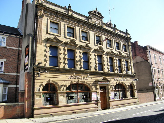
The King's Head, Blyth
- Overview Map Street View The Kings Head Cafe is located on Bridge Street in Blyth. Formerly, it was the Kings Head Hotel. The hotel was built in the late 19th century …


Co-Curate Page
Church of St. Cuthbert
- Overview Map Street View The Church of St. Cuthbert in Blyth, Northumberland was built in 1892. It replaced an earlier church built in 1751; at that time Blyth was part …
Co-Curate Page
Historic Buildings and Monuments in Blyth
- Listed Buildings, Scheduled Monuments and Conservation Areas in Blyth, Northumberland, from the National Heritage List for England. Also including buildings on the 'local list' of non-designated heritage assets. Use the …
Co-Curate Page
High Light, Lighthouse
- Overview Map Street View The High Light in Blyth was built c.1788 and worked in conjunction with the Low light (rebuilt 1936). It was heightened twice and the light was in …