Topics > Civil Parishes in Cumbria > Bewcastle Civil Parish
Bewcastle Civil Parish
About the Parish
Bewcastle Civil Parish is geographically, one of the largest parishes in Cumbria, bordering Northumberland and Scotland.
| Main Settlements: | Bewcastle, Roadhead, and numerous farms/hamlets including The Knowe, Blackpool Gate, Oakshaw Ford, Sleetbeck & Bailey Mill |
| Population: |
397 (2021 Census) 391 (2011 Census) 411 (2001 Census) |
| Area: | 116 km² |
| Parish Council: | Bewcastle Parish Council |
| Ceremonial County: | Cumbria |
|
Unitary Authority: |
Cumberland Council |
Historical |
|
| Ancient Township: |
Townships became civil parishes in their own right in 1866 (see below). |
| Ancient Parish: |
Bewcastle Parish (St. Cuthbert) Ancient parishes refer to the parishes before the split between ecclesiastical (church) and civil parishes in the 19th century. They had a parish church and often were composed of multiple townships and chapelries. In many cases, townships and parishes were originally based on the territory of manors from the feudal system during medieval times. Civil parishes were created following the Poor Law Amendment Act 1866, in which Church of England parishes, extra-parochial areas, townships and chapelries, became "civil parishes" which could set their own poor rate (tax). Then the reforms of Local Government Act 1894 established elected civil parish councils (or parish meetings for parishes with less than 300 residents) and created urban and rural districts. Boundaries of parishes and civil parishes may have changed over time. |
| County: |
Cumberland (~12th centurty to 1974) Cumbria - county established on 1st April 1974, by the Local Government Act 1972. Cumbria County Council was abolished in 2023 and replaced by 2 new Unitary authorities. Cumbria remains a ceremonial county; retaining ceremonial boundary and the roles and responsibilities of the Lord Lieutenant and High Sheriff of Cumbria - based on 'The Cumbria (Structural Changes) Order 2022'. |
| District: |
Eskdale (ward) Longtown Rural District (1894 to 1934) - established by the Local Government Act 1894 Border Rural District (1934 to 1974) - which merged Longtown, Brampton & Carlisle Rural Districts. The Border Rural District was abolished in 1974, under the Local Government Act 1972. The former district area then formed part of the City of Carlisle district. The City of Carlisle and the 5 other district councils of Cumbria, along with the county council, were abolished as part of local government reorganisation in 2023; and replaced by two unitary authorities on 1st April 2023. |
| Unitary Authority: |
Cumberland Council was created on the 1st April 2023. The 'new' Cumberland unitary authority area includes most of the historic county, with the exception of Penrith and it's surrounding area, which is part the 'new' Westmorland and Furness unitary authority. |
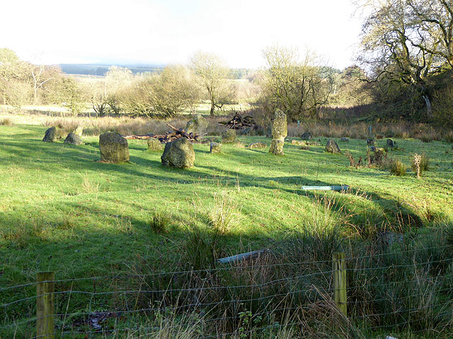
See also: ![]() Historic Buildings and Monuments in Bewcastle Civil Parish Note: listed buildings are generally the responsibility of the county council, rather than the parish council.
Historic Buildings and Monuments in Bewcastle Civil Parish Note: listed buildings are generally the responsibility of the county council, rather than the parish council.
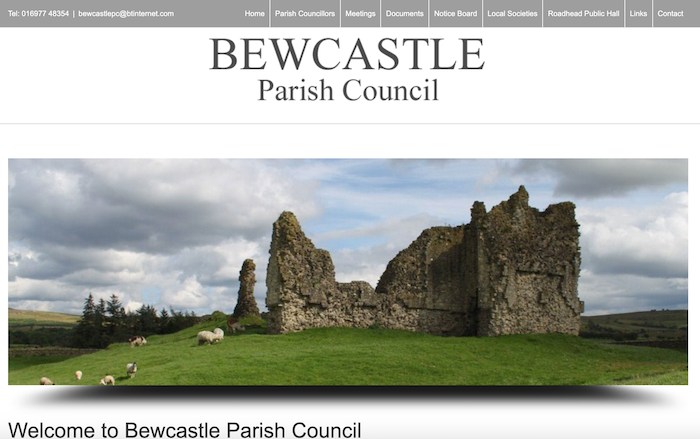
from http://bewcastleparishcouncil…
Bewcastle Parish Council
- "...Bewcastle is one of the largest parishes in Cumbria, bordering Northumberland and Scotland.
It is sparsely populated numbering about 330 inhabitants, the vast majority of whom are engaged in farming, …
Added by
Simon Cotterill
Co-Curate Page
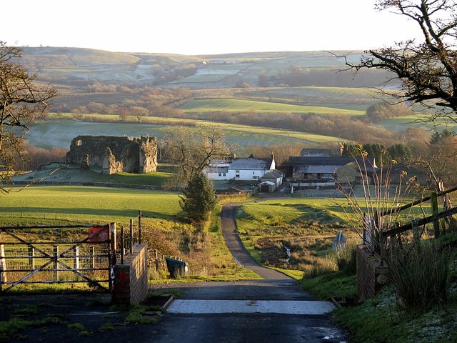
Bewcastle
- Overview About Bewcastle Map Street View Bewcastle is located in the City of Carlisle district of Cumbria. Historically, Bewcastle was an ancient parish in the county of Cumberland. Today it …
Co-Curate Page
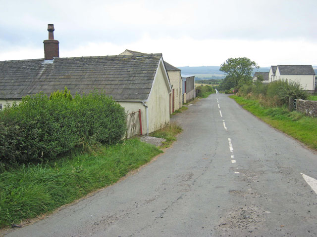
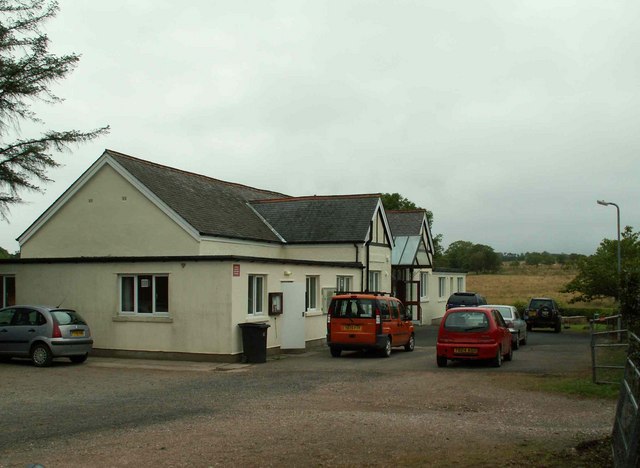
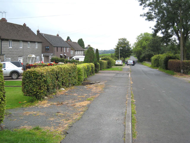
Roadhead
- Overview Map Street View Roadhead is a village in the Carlisle district of Cumbria, located about 13 miles north-east of the centre of Carilse and 8 miles north of Brampton. …

from https://www.visionofbritain.o…
Bewcastle - Cumberland
- includes information on many different historical units, including census data and other statistics...
Added by
Simon Cotterill
Co-Curate Page
The Knowe, Bewcastle
- Overview Map The Knowe is a hamlet in the Civil Parish of Bewcastle, located near Blackpool Gate and roughly 2 miles north-west of the village of Roadhead. On OS maps …
Co-Curate Page
Bailey
- Overview Map Street View Bailey is an area in the north-east of Cumbria, around the valley of Bailey Water, extending up to the border with Scotland. Historically, Bailey (aka Bailie) …
Co-Curate Page
Blackpool Gate
- Overview Map Street View Blackpool Gate is a hamlet in the City of Carlisle district of Cumbria, located about 15 miles north-west of Carlisle and is 5½ miles from the …
Co-Curate Page
Sleetbeck
- Overview Map Street View Sleetbeck is a hamlet in the City of Carlisle district of Cumbria. It is located near the boarder with Scotland and is about 14 miles north-east …

from http://bewcastleparishcouncil…
Bewcastle Parish Council
- "...Bewcastle is one of the largest parishes in Cumbria, bordering Northumberland and Scotland.
It is sparsely populated numbering about 330 inhabitants, the vast majority of whom are engaged in farming, …
Added by
Simon Cotterill
Co-Curate Page
Bewcastle
- Overview About Bewcastle Map Street View Bewcastle is located in the City of Carlisle district of Cumbria. Historically, Bewcastle was an ancient parish in the county of Cumberland. Today it …
Co-Curate Page
Roadhead
- Overview Map Street View Roadhead is a village in the Carlisle district of Cumbria, located about 13 miles north-east of the centre of Carilse and 8 miles north of Brampton. …
from https://www.visionofbritain.o…
Bewcastle - Cumberland
- includes information on many different historical units, including census data and other statistics...
Added by
Simon Cotterill
Co-Curate Page
The Knowe, Bewcastle
- Overview Map The Knowe is a hamlet in the Civil Parish of Bewcastle, located near Blackpool Gate and roughly 2 miles north-west of the village of Roadhead. On OS maps …
Co-Curate Page
Bailey
- Overview Map Street View Bailey is an area in the north-east of Cumbria, around the valley of Bailey Water, extending up to the border with Scotland. Historically, Bailey (aka Bailie) …
Co-Curate Page
Blackpool Gate
- Overview Map Street View Blackpool Gate is a hamlet in the City of Carlisle district of Cumbria, located about 15 miles north-west of Carlisle and is 5½ miles from the …


