Topics > Northumberland > Civil Parishes in Northumberland > Belford Civil Parish
Belford Civil Parish
Area: 32.5 km²
Population (including Easington):
1,431 (2021 Census)
1,401 (2011 Census)
1,194 (2001 Census)
Co-Curate Page
Mousen
- Overview Map New Mousen Old Mousen The hamlet of New Mousen and Mousen Hall are located by the A1 road about 1½ miles south-east of Belford. Old Mousen is ¾ …
from https://northumberlandparishe…
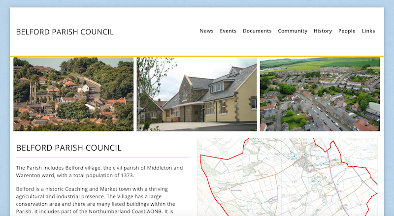
Belford Parish Council
- "The Parish includes Belford village, the civil parish of Middleton and Warenton ward, with a total population of 1373.
Belford is a historic Coaching and Market town with a thriving …
Added by
Simon Cotterill

Co-Curate Page
Belford
- Overview About Belford Map Street View Belford is a village and civil parish in Northumberland, England, about halfway between Alnwick and Berwick-upon-Tweed, a few miles inland from the east …
Co-Curate Page
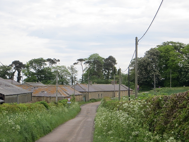
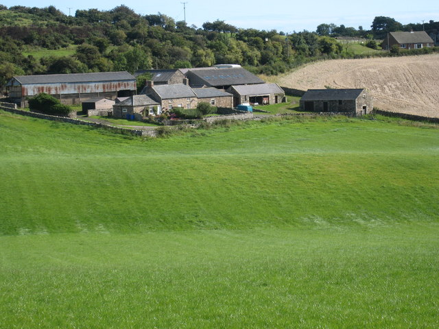
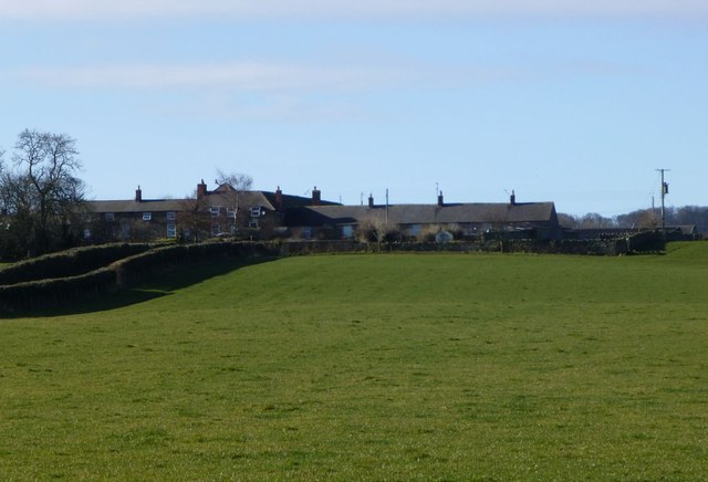
Craggyhall
- Craggyhall Farm is located just over half a mile north-west of Belford in Northumberland.
Co-Curate Page
Warenton
- Overview Map Street View Warenton is a hamlet in Northumberland, located about 2 miles south of Belford. It is situated to the south of Mousen Burn as it flows through Warenton …

Co-Curate Page
Mousen
- Overview Map New Mousen Old Mousen The hamlet of New Mousen and Mousen Hall are located by the A1 road about 1½ miles south-east of Belford. Old Mousen is ¾ …
from https://northumberlandparishe…
Belford Parish Council
- "The Parish includes Belford village, the civil parish of Middleton and Warenton ward, with a total population of 1373.
Belford is a historic Coaching and Market town with a thriving …
Added by
Simon Cotterill
Co-Curate Page
Belford
- Overview About Belford Map Street View Belford is a village and civil parish in Northumberland, England, about halfway between Alnwick and Berwick-upon-Tweed, a few miles inland from the east …
Co-Curate Page
Craggyhall
- Craggyhall Farm is located just over half a mile north-west of Belford in Northumberland.


