Topics > Northumberland > Civil Parishes in Northumberland > Bavington Civil Parish
Bavington Civil Parish
Parish boundaries may have changed - for the latest map see the Parish Council or Northumberland County Council.
Area: 74.4 km²
Population:
255 (2021 Census)
Co-Curate Page
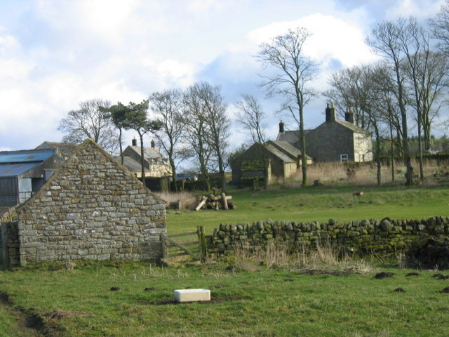
Sweethope
- Overview About Sweethope Loughs Map Sweethope was recorded as a manor and village in the 13th century, once with defences, and 6 houses noted in the 17th century.[1] Sweethope was …
Co-Curate Page
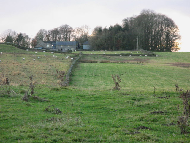
Hawick, near Kirkwhelpington
- Overview Map Hawick is located near Sweethope Loughs, about 2 miles north-west of the village of Great Bavington and 2 miles south-west of Kirkwhelpington in Northumberland. Today this is essentially …
Co-Curate Page
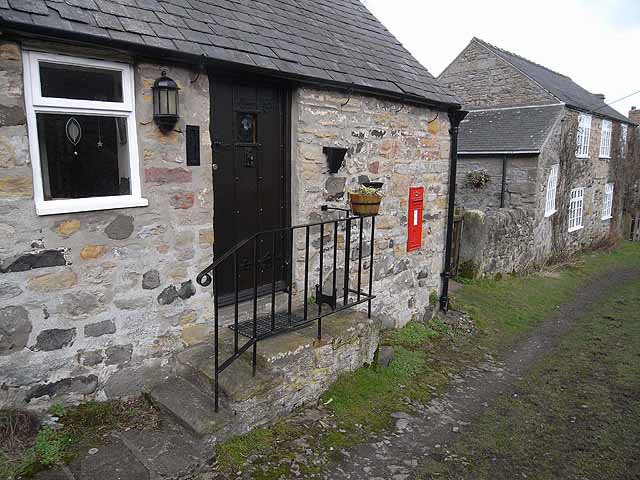
Thockrington
- Overview Map Street View Thockrington is a remote hamlet in Northumberland, located about 2 miles south-west of Great Bavington and 5 miles north-east of Chollerton. Today the settlement consists of …

Co-Curate Page
Sweethope
- Overview About Sweethope Loughs Map Sweethope was recorded as a manor and village in the 13th century, once with defences, and 6 houses noted in the 17th century.[1] Sweethope was …
Co-Curate Page
Hawick, near Kirkwhelpington
- Overview Map Hawick is located near Sweethope Loughs, about 2 miles north-west of the village of Great Bavington and 2 miles south-west of Kirkwhelpington in Northumberland. Today this is essentially …


