Topics > Northumberland > Civil Parishes in Northumberland > Ashington Town Council area
Ashington Town Council area
Parish boundaries may have changed - for the latest map see the Parish Council or Northumberland County Council.
Area: 23.6 km²
Population:
28,278 (2021 Census)
27,789 (2011 Census)
27,462 (2001 Census)
Co-Curate Page
Ashington
- Overview History Map Street View Early history The name Ashington possibly originates from Essendene which has been referenced since 1170, but may instead have originated from Æsc, a Saxon …

Co-Curate Page
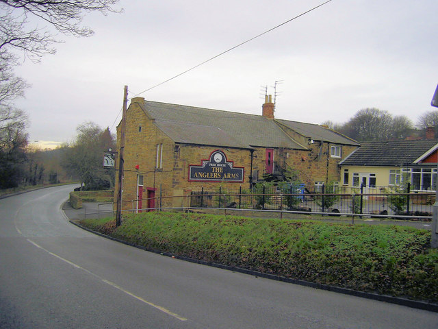
Bothal
- Overview About Bothal Map Street View Bothal is a village in Northumberland, located near the River Wansbeck between Morpeth and Ashington. Historic buildings include Bothal Castle and the 12th century …
Co-Curate Page
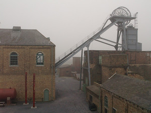
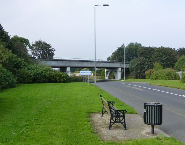
Woodhorn (village)
- Overview About Woodhorn Map Street View Woodhorn is a village in Northumberland, England about 2 miles east of Ashington. The village is sometimes identified with Wucestre, given to St …
Co-Curate Page
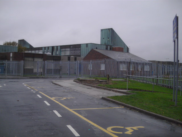
Hirst, Ashington
- Hirst is an area in the town of Ashington in Northumberland. It grew rapidly in association with coal mining, with 5 collieries developed in the Ashington area by the late …

from http://www.ashingtontowncounc…
Ashington Town Council
- Website of Ashington Town Council
Added by
Simon Cotterill
Co-Curate Page
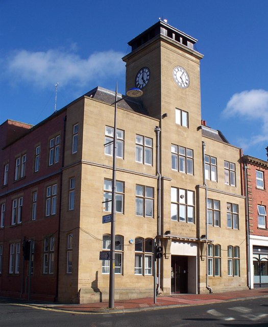
Ashington Town Hall
- Overview Map Street View Ashington Town Hall is located on Station Road, by the junction with Council Road, in Ashington. The foundation stone for the neoclassical-style building was laid by …

Co-Curate Page
Ashington
- Overview History Map Street View Early history The name Ashington possibly originates from Essendene which has been referenced since 1170, but may instead have originated from Æsc, a Saxon …
Co-Curate Page
Bothal
- Overview About Bothal Map Street View Bothal is a village in Northumberland, located near the River Wansbeck between Morpeth and Ashington. Historic buildings include Bothal Castle and the 12th century …
Co-Curate Page
Woodhorn (village)
- Overview About Woodhorn Map Street View Woodhorn is a village in Northumberland, England about 2 miles east of Ashington. The village is sometimes identified with Wucestre, given to St …
Co-Curate Page
Hirst, Ashington
- Hirst is an area in the town of Ashington in Northumberland. It grew rapidly in association with coal mining, with 5 collieries developed in the Ashington area by the late …
from http://www.ashingtontowncounc…
Ashington Town Council
- Website of Ashington Town Council
Added by
Simon Cotterill


