Topics > Northumberland > Civil Parishes in Northumberland > Alnham Civil Parish > Alnham Parish, 1848
Alnham Parish, 1848
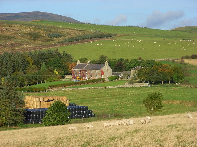
ALNHAM (St. Michael), a parish, in the union of Rothbury, N. division of Coquetdale ward and of Northumberland; consisting of the townships of Alnham, Prendwick, Screnwood, and Unthank; and containing 256 inhabitants, of whom 141 are in the township of Alnham, 6 miles (W. by S.) from Whittingham, and 14 (W. by S.) from Alnwick. The parish forms part of the Cheviot range of mountains, and comprises about 12,000 acres, almost entirely occupied as sheep-walks: excellent building-stone is obtained. The living is a discharged vicarage, endowed with part of the great tithes, and valued in the king's books at £3. 17. 1.; net income, £74; patron, the Duke of Northumberland; impropriator of the remainder of the great tithes, J. C. Tarleton, Esq. There are about ten acres of glebe. The church has a plain Norman arch between the nave and chancel. Near it are the ruins of an ancient tower. which the late duke fitted up for a parsonage; and on Castle Hill is a semicircular encampment, defended by a high double rampart and deep trench, within which is a range of uncemented stones.
Extract from: A Topographical Dictionary of England comprising the several counties, cities, boroughs, corporate and market towns, parishes, and townships..... 7th Edition, by Samuel Lewis, London, 1848.
Co-Curate Page
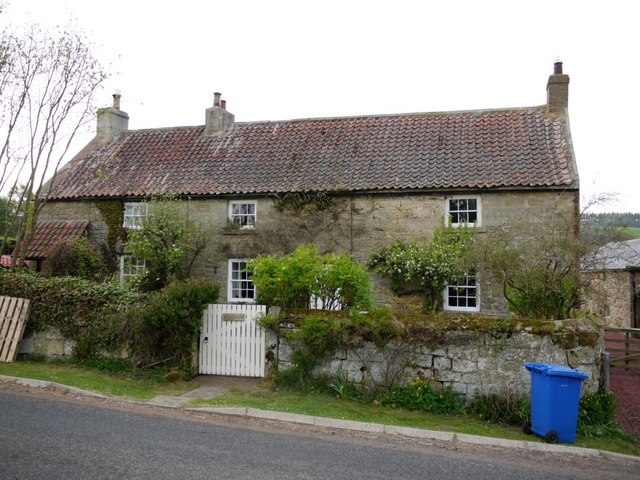
Unthank, Alnham
- Overview Map Street View Unthank is a farm in Northumberland, located about 11 miles west of Alnwick and ¾ mile north-east of the village of Alnham. There was a small …
Co-Curate Page
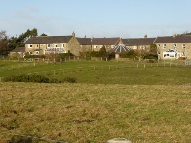
Prendwick
- Overview Map Street View Prendwick is a hamlet by Prendwick Burn in Northumberland, located about 12 miles west of Alnwick and a mile north of Alnham. Some of the farm …
Co-Curate Page
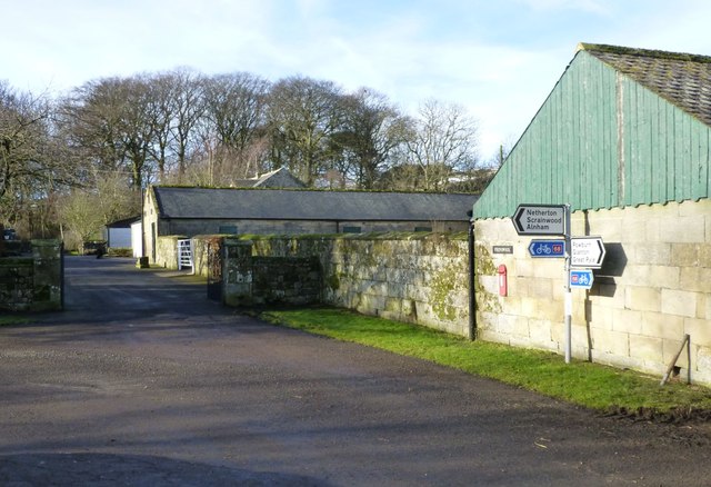
Scrainwood
- Overview Map Street View Scrainwood is a farm and hamlet in Northumberland, located just under a mile south-west of Alnham and a mile north of Netherton. Scrainwood Burn runs through the …

Co-Curate Page
Unthank, Alnham
- Overview Map Street View Unthank is a farm in Northumberland, located about 11 miles west of Alnwick and ¾ mile north-east of the village of Alnham. There was a small …
Co-Curate Page
Prendwick
- Overview Map Street View Prendwick is a hamlet by Prendwick Burn in Northumberland, located about 12 miles west of Alnwick and a mile north of Alnham. Some of the farm …