Topics > Northumberland > Allenheads

Allenheads


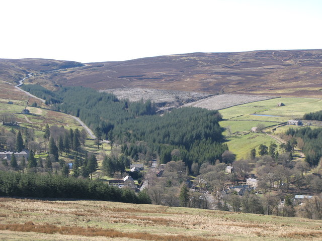
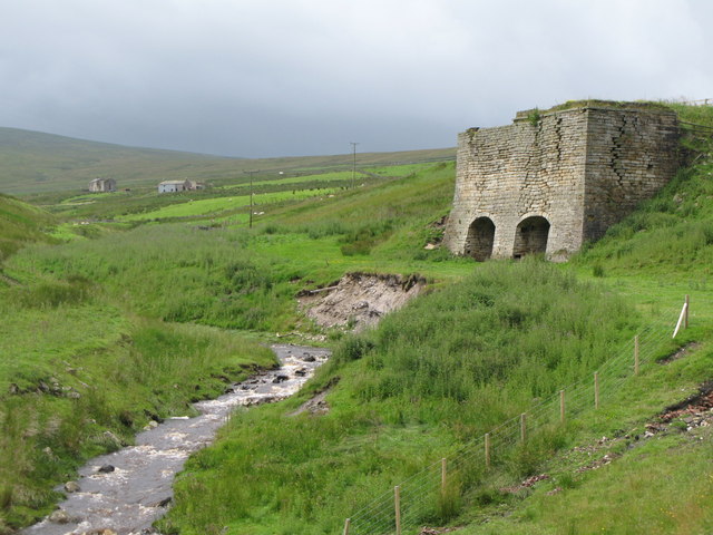
Allenheads is a village in Northumberland by the River East Allen and located about 7 miles south of Allendale Town and 3 miles north of Wearhead in Weardale. Allenheads originally developed as a lead mining community. Local landmarks include the distinctive Thorngreen Lime Kilns.

Allenheads is a village in Northumberland, England, situated in the Pennines to the north of Weardale. Allenheads is situated 8 miles further along the river East Allen from Allendale. Being a former lead mining community, it is widely believed that it would not have existed if it wasn't for the industry, it being too high for other types of settlement.

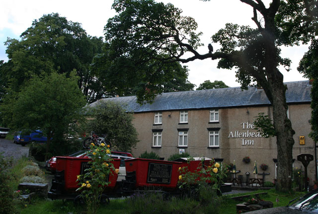
The village currently hosts The Hemmel (café), Allenheads Contemporary Arts (www.acart.org.uk) The Allenheads Inn and the Heritage Centre.

The Highforest Show is held on the first Saturday of September each year. The show is a community event, organised by a local committee, and allows the village to showcase its various talents. Each year there is usually a quoits competition, dog show and children's attractions and stalls.

Governance

Allenheads is in the parliamentary constituency of Hexham.

Economy

In the 21st century agriculture and tourism provide income. But this community was built on lead mining. It was one of the prime North Pennine mines and when it shut in 1896 this was a devastating blow to the community. The British Steel Corporation reopened the mine as the Beaumont Mine in the 1970s but this was not a success. Fluorspar was then being sought.

Landmarks

It is the location of a preserved William Armstrong, 1st Baron Armstrong of Elswick, Tyne and Wear hydraulic engine. This had been located in the Sawmill. It is now located in a purpose made exhibition hall in the village centre. Several hydraulic engines of this make were installed at the mine here. Drawings of another one still exist.

Text from Wikipedia, available under the Creative Commons Attribution-ShareAlike License (accessed: 21/01/2017).
Visit the page: Allenheads for references and further details. You can contribute to this article on Wikipedia.
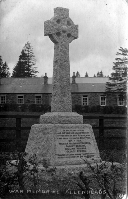
Northumberland High Forest Community Centre Allendale Civil Parish Ropehaugh (Dirt Pot) Allenheads at War Allenheads Church Allenheads Estate Offices Allenheads Hall Allenheads, 1848 Mining, Allenheads Old Post Office, Allenheads The Iron Well, Allenheads Thorngreen Lime Kilns War Memorial
from Allen Valleys Local History (flickr)
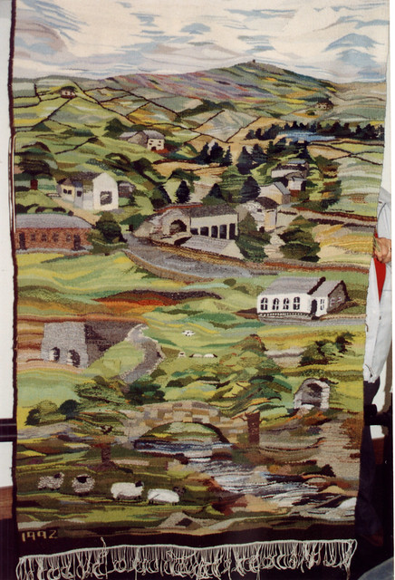
Allenheads [0002-220]

Pinned by Simon Cotterill
from http://www.northumberland.gov…
Allenheads: Northumberland Extensive Urban Survey
- PDF (2009) The Northumberland Extensive Urban Survey Project was carried out between 1995 and 2008 by Northumberland County Council with the support of English Heritage.

Added by
Simon Cotterill
from Geograph (geograph)
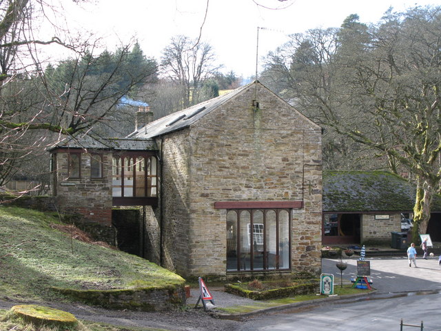
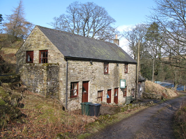
Allenheads Heritage Centre

Pinned by Simon Cotterill
from Geograph (geograph)
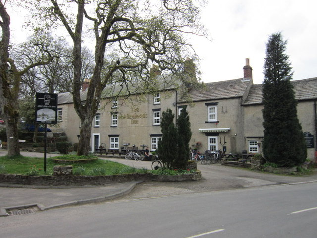
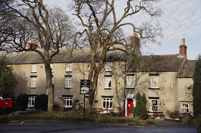
Allenheads Inn, Allenheads

Pinned by Simon Cotterill
from Flickr (flickr)
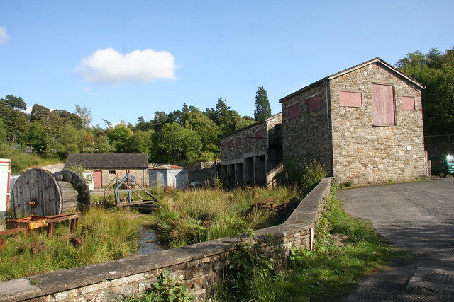
Allenheads mine winder house and the mine yard

Pinned by Simon Cotterill
from Flickr (flickr)
The Allenheads Inn

Pinned by Simon Cotterill
from Allen Valleys Local History (flickr)
Allenheads [0002-128]

Pinned by Simon Cotterill
from Allen Valleys Local History (flickr)
Allenheads [0023-018]

Pinned by Simon Cotterill
from Allen Valleys Local History (flickr)
Allenheads 1905 [0025-006]

Pinned by Simon Cotterill
from Allen Valleys Local History (flickr)
Allenheads 1900 [0027-052]

Pinned by Simon Cotterill
from Allen Valleys Local History (flickr)
Allenheads [0038-008]

Pinned by Simon Cotterill
from Allen Valleys Local History (flickr)
Allenheads [0030-008]

Pinned by Simon Cotterill
from Allen Valleys Local History (flickr)
Allenheads [0031-062]

Pinned by Simon Cotterill
from Allen Valleys Local History (flickr)
Allenheads 1909 [0008-010]

Pinned by Simon Cotterill
from Allen Valleys Local History (flickr)
Allenheads July 1940 [0027-002]

Pinned by Simon Cotterill
from Allen Valleys Local History (flickr)
Allenheads 1985 [0002-143]

Pinned by Simon Cotterill
from Allen Valleys Local History (flickr)
Allenheads 1978 [0005-008]

Pinned by Simon Cotterill
from Allen Valleys Local History (flickr)
Allenheads [0002-284]

Pinned by Simon Cotterill
from Allen Valleys Local History (flickr)
Allenheads [0002-145]

Pinned by Simon Cotterill
from Allen Valleys Local History (flickr)
Allenheads [0005-021]

Pinned by Simon Cotterill
from Allen Valleys Local History (flickr)
Allenheads 1963 [0005-037]

Pinned by Simon Cotterill
from Allen Valleys Local History (flickr)
Allenheads 1942 [0013-001]

Pinned by Simon Cotterill
from Allen Valleys Local History (flickr)
Allenheads [0002-260]

Pinned by Simon Cotterill
from Allen Valleys Local History (flickr)
Allenheads 1900 [0018-085]

Pinned by Simon Cotterill
from Allen Valleys Local History (flickr)
Allenheads 1925 [0002-155]

Pinned by Simon Cotterill
from Allen Valleys Local History (flickr)
Allenheads 1967 [0013-004]

Pinned by Simon Cotterill
from Allen Valleys Local History (flickr)
Allenheads 1942 [0013-002]

Pinned by Simon Cotterill
from Geograph (geograph)
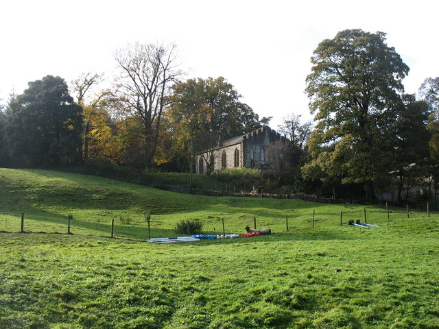
Former church in Allenheads

Pinned by Simon Cotterill
from Geograph (geograph)
Allenheads village centre

Pinned by Simon Cotterill
from Geograph (geograph)
The Allenheads Inn (4)

Pinned by Simon Cotterill
from Geograph (geograph)
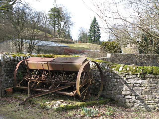
Old farm machinery near the Allenheads Inn

Pinned by Simon Cotterill
from Geograph (geograph)
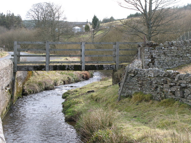
Footbridge over the River East Allen

Pinned by Simon Cotterill
from Geograph (geograph)
The blacksmith's shop (2)

Pinned by Simon Cotterill
from Geograph (geograph)
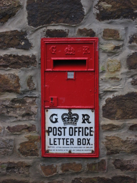
George V "Ludlow" postbox at the Allenheads Heritage Centre

Pinned by Simon Cotterill
from Geograph (geograph)
Allenheads Hotel

Pinned by Simon Cotterill
from Geograph (geograph)
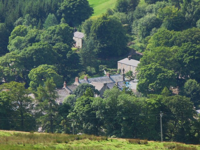
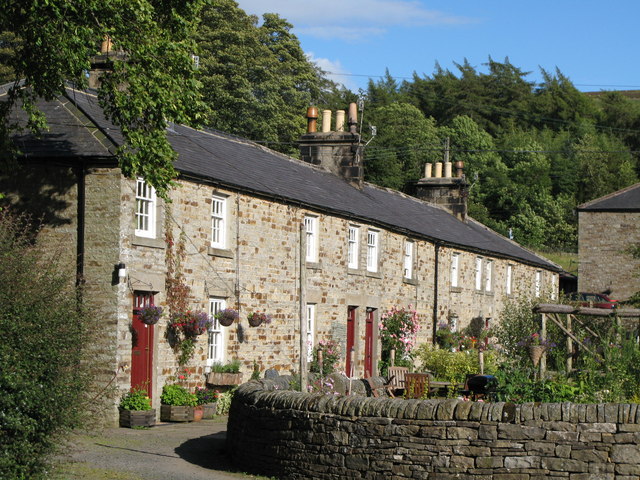
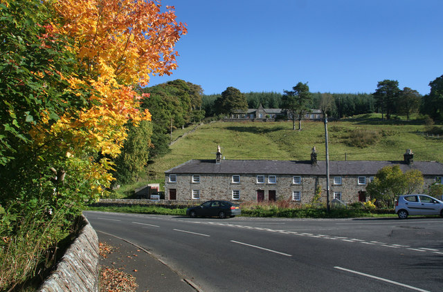
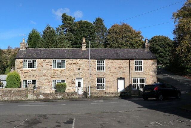
Cottages in Allenheads

Pinned by Simon Cotterill
from Geograph (geograph)
Cottages in Allenheads

Pinned by Simon Cotterill
from Geograph (geograph)
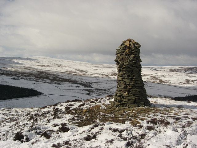
Currick below Dodd End

Pinned by Simon Cotterill
from Geograph (geograph)
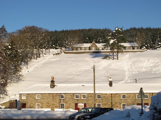
Cottages and the Old School in the snow

Pinned by Simon Cotterill
from Geograph (geograph)
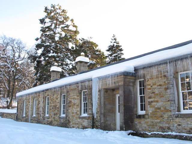
Mega-icicles in Allenheads

Pinned by Simon Cotterill
from Geograph (geograph)
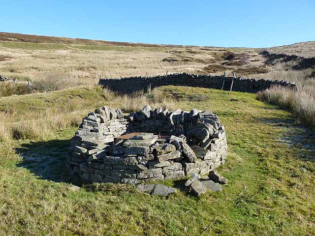
Head of disused mine shaft

Pinned by Simon Cotterill
from Geograph (geograph)
Allenheads

Pinned by Simon Cotterill
from Geograph (geograph)
Allenheads (2)

Pinned by Simon Cotterill
from Geograph (geograph)
Allendale Hall

Pinned by Simon Cotterill
from Geograph (geograph)
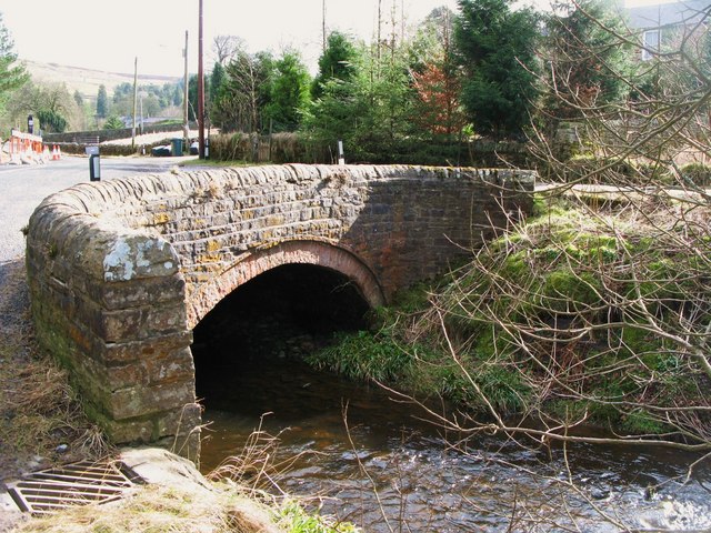
Bridge over the River East Allen

Pinned by Simon Cotterill
Ropehaugh (Dirt Pot)
  Co-Curate Page
Ropehaugh (Dirt Pot)
- Overview Map Street View Ropehaugh (Dirt Pot) is a hamlet in Northumberland, located about half mile north-west of Allenheads and within the North Pennines AONB. It is a linear settlement, …
High Forest Community Centre
  Co-Curate Page
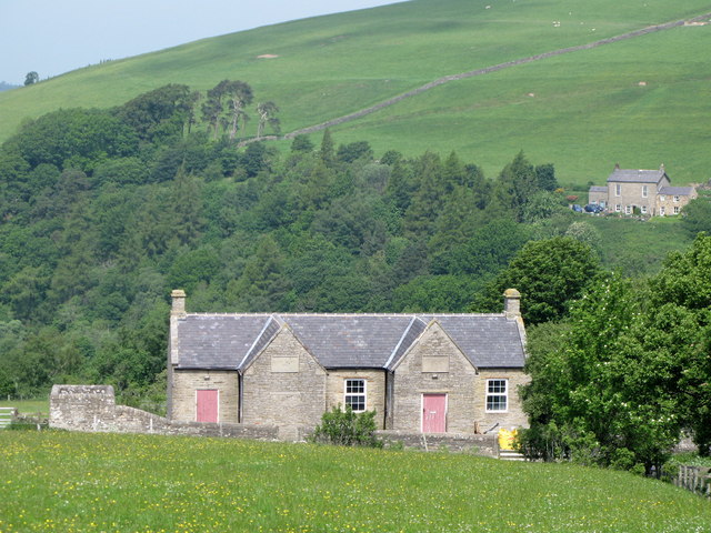
High Forest Community Centre
- Overview Map Street View High Forest Community Centre is located in Sinderhope, Northumberland. Originally a Board school, built in 1881, the building now serves as a community centre for the …

Comments

Add a comment or share a memory.

Login to add a comment. Sign-up if you don't already have an account.


ABOUT US

Co-Curate is a project which brings together online collections, museums, universities, schools and community groups to make and re-make stories and images from North East England and Cumbria. Co-Curate is a trans-disciplinary project that will open up 'official' museum and 'un-officia'l co-created community-based collections and archives through innovative collaborative approaches using social media and open archives/data.

LATEST SHARED RESOURCES