Topics > Historical Periods > 19th Century > 1820s > 1824
from http://books.google.co.uk/boo…
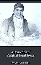
A Collection of Original Local Songs. Robert Gilchrist, 1824
- Lyrics of local songs published in 1824, digitised and available as a free Google eBook.
Added by
Simon Cotterill
from Newcastle libraries (flickr)
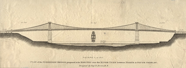
055509:Proposed Bridge North Shields unknown 1824
Pinned by Simon Cotterill

from http://www.twsitelines.info/S…
HER(6055): Houghton-le-Spring, Union Workhouse
- "Shown on 1st edition Ordnance Survey map. Built on William Street in 1824. Rebuilt in 1877 at a cost of £11,000. It could accommodate 203 destitute wives, children and the …
Added by
Simon Cotterill
Co-Curate Page
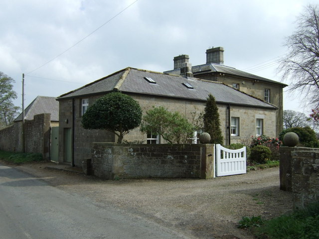
Blackheddon Hall
- Former manor house in Black Heddon, Northumberland. Built in 1824, this is a Grade II Listed Building.
Co-Curate Page
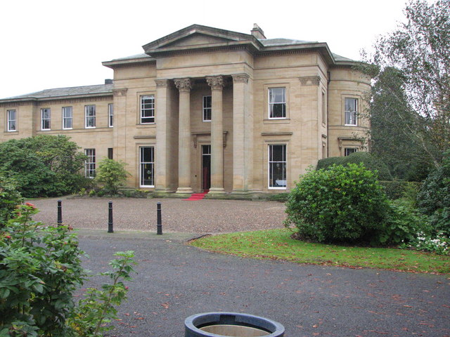
Longhirst Hall
- Overview Map Street View Longhirst Hall near Morpeth in Northumberland was built in 1824. It was designed by John Dobson for the land owner, William Lawson, who became wealthy from …
Co-Curate Page
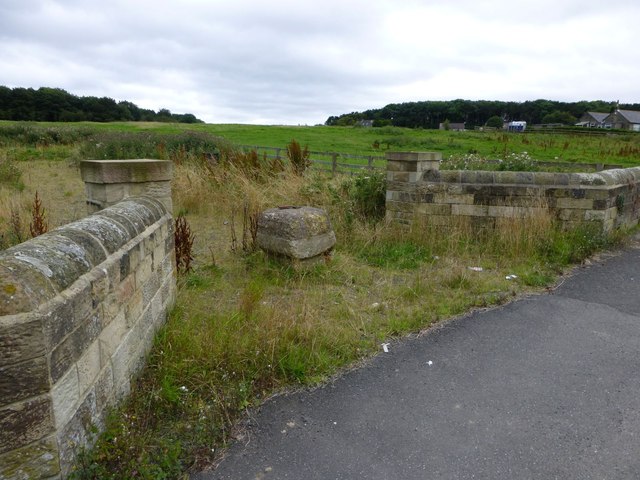
Cresswell Hall (former)
- Cresswell Hall, built 1821-4, had become structurally unsound and was demolished in 1937. In Hall Woods, stand the grand Stable Block and arched stone Gallery which flanked the approach to …
Co-Curate Page
Stowell Street
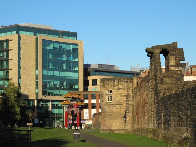
- Overview Map Street View Stowell Street in Newcastle was originally built in 1824 with new residential town houses, and to provide a route through the Blackfriars precinct. The street was named …
Co-Curate Page
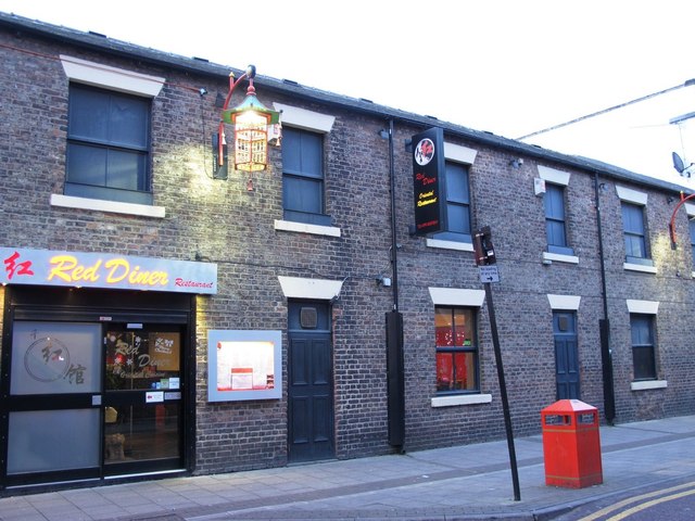
Nos. 34-46 Stowell Street
- Overview Map Street View Nos. 34-46 are the only remaining original buildings from when Stowell Street was first built c.1824.[1] The buildings now house a number of restaurants.
Co-Curate Page
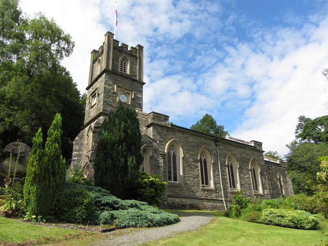
Church of St Mary, Rydal
- Overview Map Street View St Mary's is the parish church in Rydal. It was originally built as a chapel-of-ease in 1824, under the patronage of Lady le Fleming of Rydal …
Co-Curate Page
Titlington Hall
- Overview Map Street View Tiltington Hall is a large country house at Titlington, built in 1824 for W.M. Pawson.[1] This replaced an earlier house here which was built in 1745 …
Co-Curate Page
Rowley Baptist Church
- Overview Map Street View In 1717 a Baptist meeting house was built in Cold Rowley (the old name for Rowley); the church's roots can be traced back to 1652. With …
Co-Curate Page
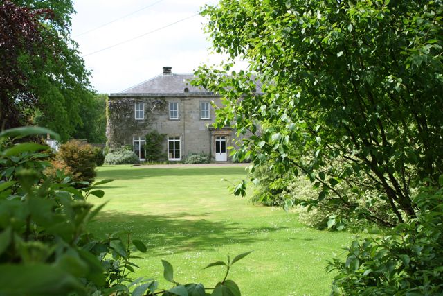
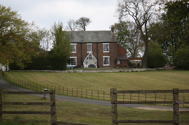
Hutton House
- Overview Map Street View Hutton House is located about ¼ mile east of the village of Hutton Henry. The red brick house was built in 1824 for the Reverend Thomas …
Co-Curate Page
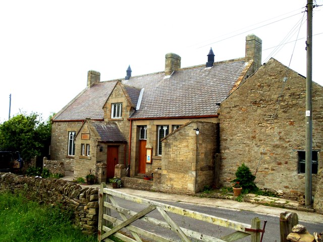
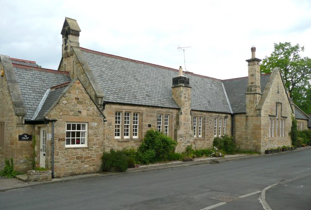
Old School, Warkworth
- Overview Map Street View Old School East and Old School West are residences located on The Butts in Warkworth. They are a former National School, which was founded in 1824, …

from http://books.google.co.uk/boo…
A Collection of Original Local Songs. Robert Gilchrist, 1824
- Lyrics of local songs published in 1824, digitised and available as a free Google eBook.
Added by
Simon Cotterill
from Newcastle libraries (flickr)
055509:Proposed Bridge North Shields unknown 1824
Pinned by Simon Cotterill
from http://www.twsitelines.info/S…
HER(6055): Houghton-le-Spring, Union Workhouse
- "Shown on 1st edition Ordnance Survey map. Built on William Street in 1824. Rebuilt in 1877 at a cost of £11,000. It could accommodate 203 destitute wives, children and the …
Added by
Simon Cotterill
Co-Curate Page
Blackheddon Hall
- Former manor house in Black Heddon, Northumberland. Built in 1824, this is a Grade II Listed Building.
Co-Curate Page
Longhirst Hall
- Overview Map Street View Longhirst Hall near Morpeth in Northumberland was built in 1824. It was designed by John Dobson for the land owner, William Lawson, who became wealthy from …
Co-Curate Page
Cresswell Hall (former)
- Cresswell Hall, built 1821-4, had become structurally unsound and was demolished in 1937. In Hall Woods, stand the grand Stable Block and arched stone Gallery which flanked the approach to …
Co-Curate Page
Stowell Street
- Overview Map Street View Stowell Street in Newcastle was originally built in 1824 with new residential town houses, and to provide a route through the Blackfriars precinct. The street was named …
Co-Curate Page
Nos. 34-46 Stowell Street
- Overview Map Street View Nos. 34-46 are the only remaining original buildings from when Stowell Street was first built c.1824.[1] The buildings now house a number of restaurants.
Co-Curate Page
Church of St Mary, Rydal
- Overview Map Street View St Mary's is the parish church in Rydal. It was originally built as a chapel-of-ease in 1824, under the patronage of Lady le Fleming of Rydal …
Co-Curate Page
Titlington Hall
- Overview Map Street View Tiltington Hall is a large country house at Titlington, built in 1824 for W.M. Pawson.[1] This replaced an earlier house here which was built in 1745 …
Co-Curate Page
Rowley Baptist Church
- Overview Map Street View In 1717 a Baptist meeting house was built in Cold Rowley (the old name for Rowley); the church's roots can be traced back to 1652. With …
Co-Curate Page
Hutton House
- Overview Map Street View Hutton House is located about ¼ mile east of the village of Hutton Henry. The red brick house was built in 1824 for the Reverend Thomas …