Topics > Historical Periods > Middle Ages (1154 to 1485 AD) > 13th Century

Co-Curate Page
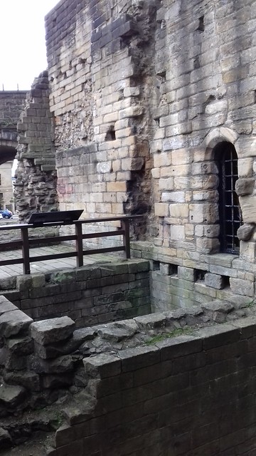
St. Leonard's Hospital
- Overview Map St. Leonard’s Hospital was built during the 13th Century and the earliest documentary evidence is an assize roll of 1293 which mentions “the bridge of the hospital of …

from http://www.twsitelines.info/S…
Tyne and Wear HER(131): Tynemouth, St. Leonard's Hospital
- SiteLines - Historic Environment Record
Added by
Simon Cotterill
Co-Curate Page
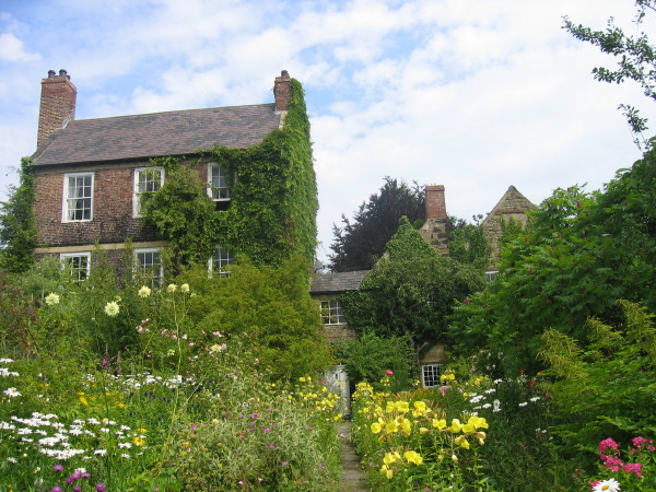
Crook Hall
- Overview Map Street View Crook Hall is a medieval manor house located in the Framwelgate area of Durham City. The oldest part of Crook Hall was built in the 14th …
Co-Curate Page
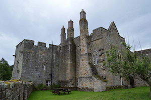
Aydon Castle
- Overview About Aydon Castle Map Street View Aydon Castle is a 13th century English manor house, located one mile from Corbridge. The house was heavily fortified on the outbreak of …
Co-Curate Page
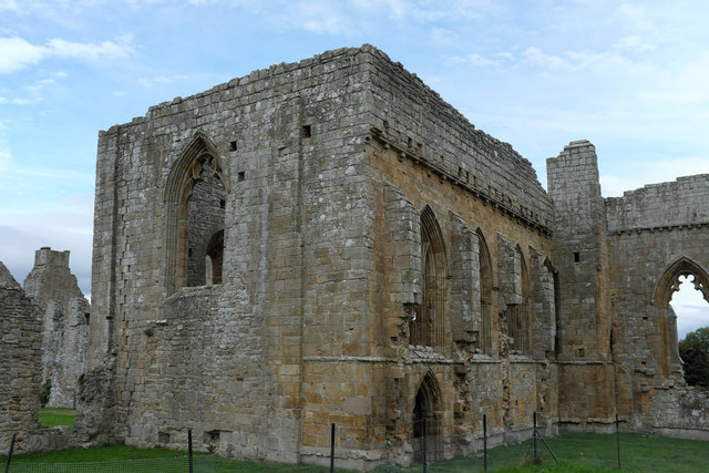
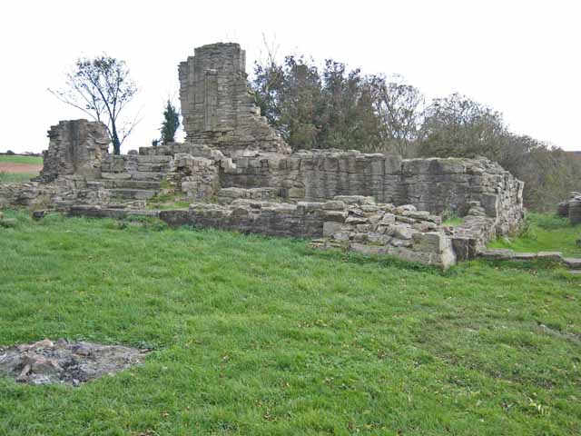
Beaurepaire
- Overview Map Street View Beaurepaire is located to the north of Bearpark. It is the ruins of the Prior's House and chapel of Beaurepaire or Bear Park, built in 1258 …
Co-Curate Page
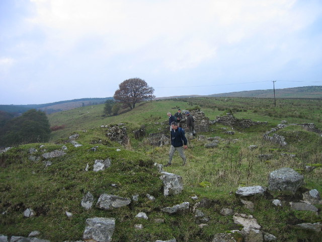
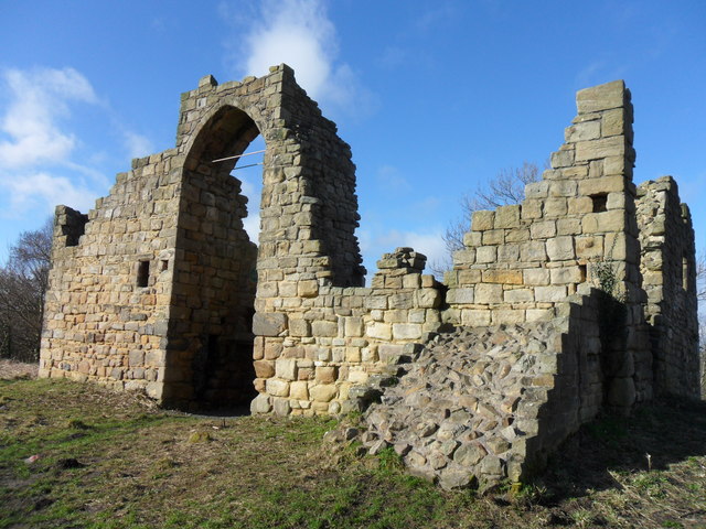
Old Hollinside
- Overview Map A 13th Century fortified manor house. Old Hollinside is a substantial ruin on the edge of the River Derwent valley, located just over a mile south-west of Whickham. …
Co-Curate Page
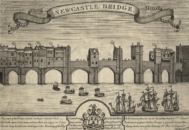
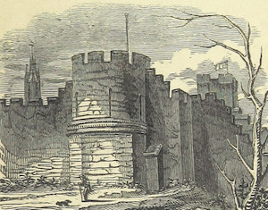
Heron Pit Prison and Drawbridge Pit, by Black Gate
- Barbican, prison and pits dating from the mid 13th and 17th century. Grade I listed. The information board by the pit states: "William Heron - The Hammer of the Poor …

Co-Curate Page
St. Leonard's Hospital
- Overview Map St. Leonard’s Hospital was built during the 13th Century and the earliest documentary evidence is an assize roll of 1293 which mentions “the bridge of the hospital of …
from http://www.twsitelines.info/S…
Tyne and Wear HER(131): Tynemouth, St. Leonard's Hospital
- SiteLines - Historic Environment Record
Added by
Simon Cotterill
Co-Curate Page
Crook Hall
- Overview Map Street View Crook Hall is a medieval manor house located in the Framwelgate area of Durham City. The oldest part of Crook Hall was built in the 14th …
Co-Curate Page
Aydon Castle
- Overview About Aydon Castle Map Street View Aydon Castle is a 13th century English manor house, located one mile from Corbridge. The house was heavily fortified on the outbreak of …
Co-Curate Page
Beaurepaire
- Overview Map Street View Beaurepaire is located to the north of Bearpark. It is the ruins of the Prior's House and chapel of Beaurepaire or Bear Park, built in 1258 …
Co-Curate Page
Old Hollinside
- Overview Map A 13th Century fortified manor house. Old Hollinside is a substantial ruin on the edge of the River Derwent valley, located just over a mile south-west of Whickham. …