Topics > Geography > Rivers > River Coquet > Holystone Burn > Yardhope Burn
Yardhope Burn
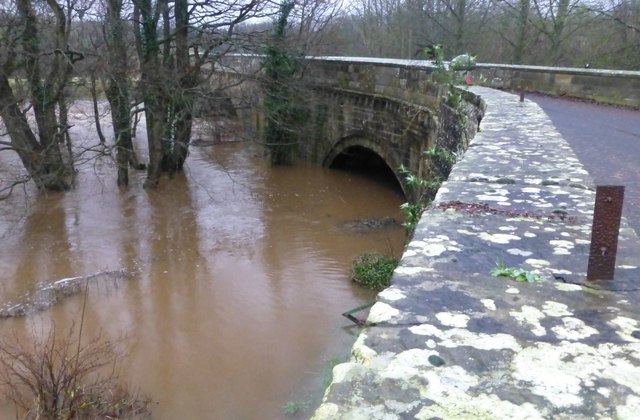
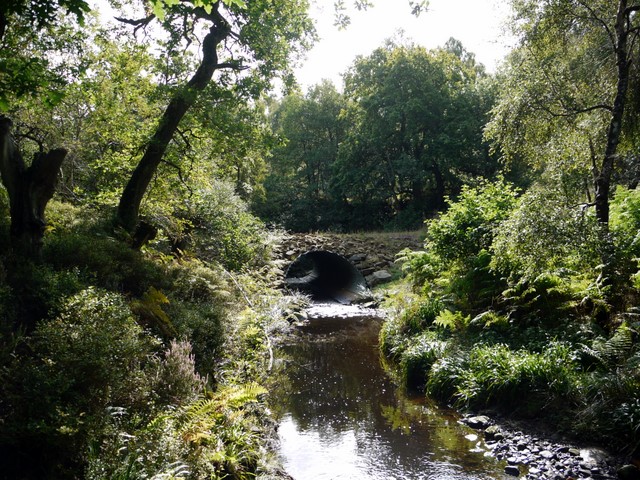
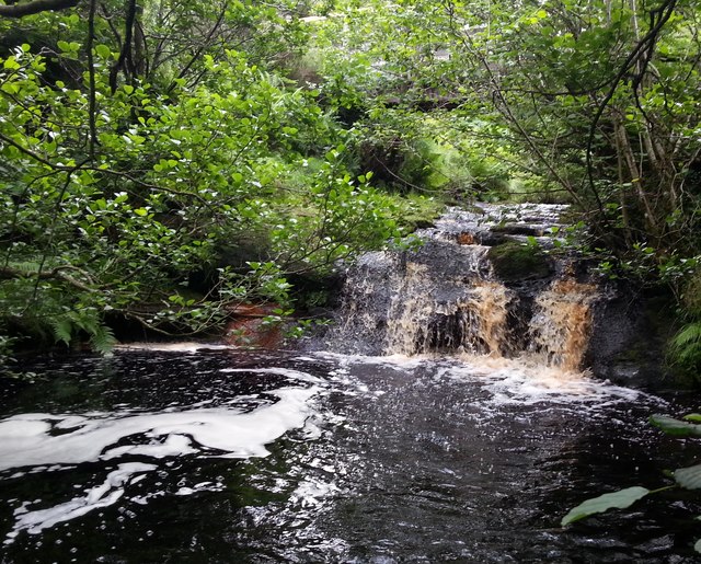
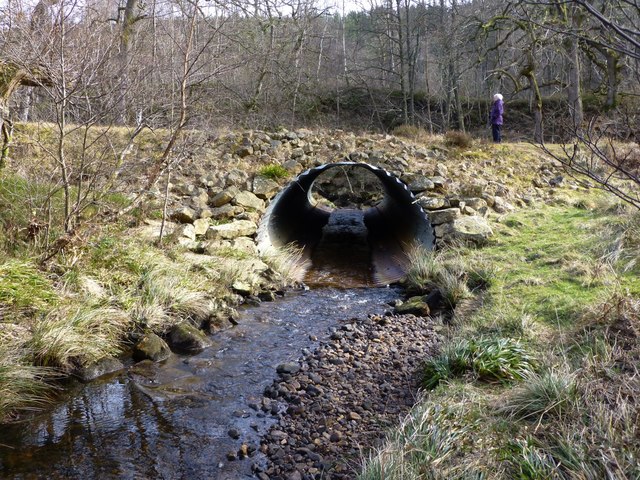
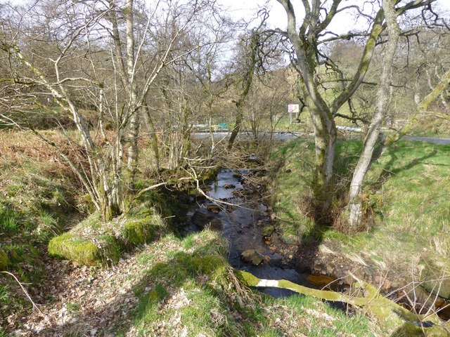
Yardhope Burn is a small river in Northumberland flowing west and continuing as Holystone Burn before joining the River Coquet near Holystone.
Co-Curate Page
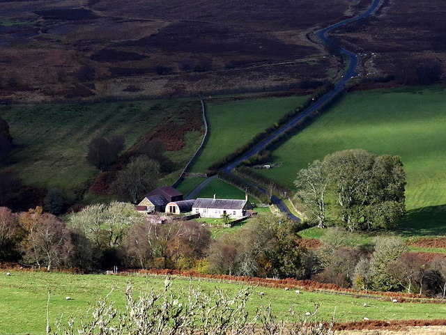
North Yardhope
- Overview Map Street View North Yardhope is a farm in Harbottle Civil Parish, in Northumberland, located about 9 miles west of Rothbury and 2½ miles south-west of the village of …
Co-Curate Page
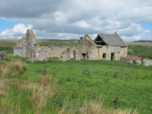
South Yardhope
- South Yardhope was the site of a farm, now in ruins, in Harbottle Civil Parish, Northumberland.

Co-Curate Page
North Yardhope
- Overview Map Street View North Yardhope is a farm in Harbottle Civil Parish, in Northumberland, located about 9 miles west of Rothbury and 2½ miles south-west of the village of …